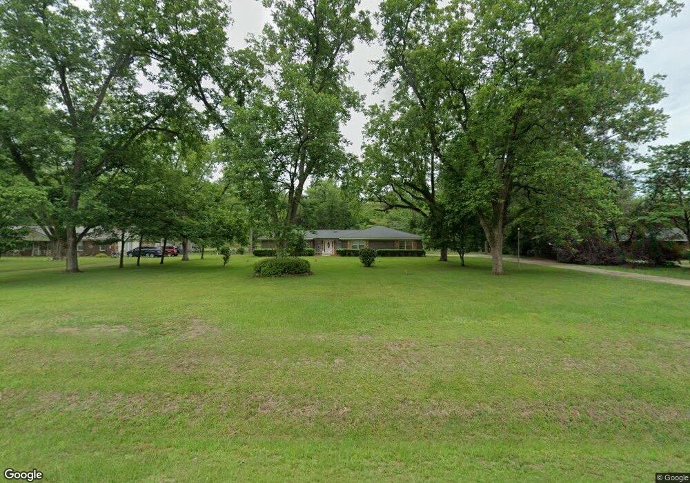
5306 Doles Rd Albany, GA 31705
Estimated Value: $137,853 - $224,000
3
Beds
2
Baths
1,513
Sq Ft
$117/Sq Ft
Est. Value
About This Home
This home is located at 5306 Doles Rd, Albany, GA 31705 and is currently estimated at $176,463, approximately $116 per square foot. 5306 Doles Rd is a home located in Dougherty County with nearby schools including Turner Elementary School, Albany Middle School, and Radium Springs Middle School.
Ownership History
Date
Name
Owned For
Owner Type
Purchase Details
Closed on
Jul 16, 2003
Sold by
Hayslip Dougals
Bought by
Lassiter Mamie
Current Estimated Value
Purchase Details
Closed on
Jun 25, 1993
Sold by
Housing & Urban Dev
Bought by
Hayslip Douglas
Purchase Details
Closed on
Dec 2, 1992
Sold by
Merrill Lynch Cr Cor
Bought by
Housing & Urban Dev
Purchase Details
Closed on
Dec 1, 1992
Sold by
Fountain Lewis E
Bought by
Merrill Lynch Cr Cor
Purchase Details
Closed on
May 28, 1991
Sold by
Fountain Lewis B
Bought by
Williams Roosevelt
Purchase Details
Closed on
Aug 9, 1989
Sold by
Dupree Velesta B
Bought by
Fountain Lewis and Fountain Wh
Create a Home Valuation Report for This Property
The Home Valuation Report is an in-depth analysis detailing your home's value as well as a comparison with similar homes in the area
Home Values in the Area
Average Home Value in this Area
Purchase History
| Date | Buyer | Sale Price | Title Company |
|---|---|---|---|
| Lassiter Mamie | $81,200 | -- | |
| Hayslip Douglas | $62,000 | -- | |
| Housing & Urban Dev | $57,500 | -- | |
| Merrill Lynch Cr Cor | $57,500 | -- | |
| Williams Roosevelt | $61,300 | -- | |
| Fountain Lewis | $52,000 | -- |
Source: Public Records
Tax History Compared to Growth
Tax History
| Year | Tax Paid | Tax Assessment Tax Assessment Total Assessment is a certain percentage of the fair market value that is determined by local assessors to be the total taxable value of land and additions on the property. | Land | Improvement |
|---|---|---|---|---|
| 2024 | $1,566 | $35,880 | $6,000 | $29,880 |
| 2023 | $734 | $35,880 | $6,000 | $29,880 |
| 2022 | $1,570 | $35,880 | $6,000 | $29,880 |
| 2021 | $1,453 | $35,880 | $6,000 | $29,880 |
| 2020 | $1,456 | $35,880 | $6,000 | $29,880 |
| 2019 | $1,459 | $35,880 | $6,000 | $29,880 |
| 2018 | $1,463 | $35,880 | $6,000 | $29,880 |
| 2017 | $1,361 | $35,880 | $6,000 | $29,880 |
| 2016 | $1,362 | $35,880 | $6,000 | $29,880 |
| 2015 | $1,364 | $35,880 | $6,000 | $29,880 |
| 2014 | $1,393 | $37,080 | $7,200 | $29,880 |
Source: Public Records
Map
Nearby Homes
- 3001 Treasure Ave
- 913 Bass Dr
- 0 N County Line Rd
- 106 Shady Ln
- 5108 Cypress Ave
- 116 Thomas St
- 111 Thomas St
- 114 Lane Dr
- 322 Camp Osborn Rd
- 3704 Parr Rd
- 110 Evergreen Ct
- 3620 Radial Ave
- 3606 Radial Ave
- 367 Stocks Dairy Rd
- 405 Pine Bluff Rd
- 943 White Pond Rd
- 2802 Banks Ave
- 159 Bruner Ln
- 255 Stocks Dairy Rd
- 148 Force Dr