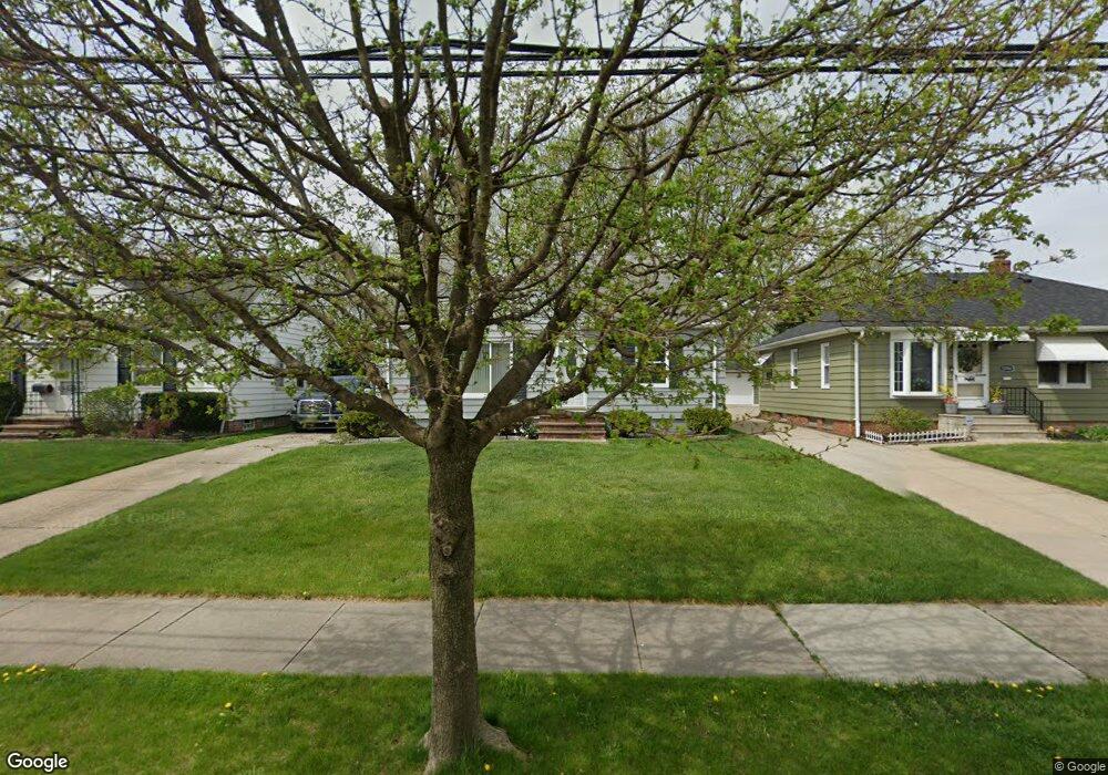
5308 E 141st St Maple Heights, OH 44137
Estimated Value: $110,529 - $138,000
2
Beds
1
Bath
908
Sq Ft
$137/Sq Ft
Est. Value
About This Home
This home is located at 5308 E 141st St, Maple Heights, OH 44137 and is currently estimated at $124,132, approximately $136 per square foot. 5308 E 141st St is a home located in Cuyahoga County with nearby schools including Abraham Lincoln Elementary School, Rockside/ J.F. Kennedy School, and Barack Obama School.
Ownership History
Date
Name
Owned For
Owner Type
Purchase Details
Closed on
Jul 21, 1997
Sold by
Robinson Rory L
Bought by
Battle Donald G and Battle Barbara G
Current Estimated Value
Home Financials for this Owner
Home Financials are based on the most recent Mortgage that was taken out on this home.
Original Mortgage
$76,431
Outstanding Balance
$11,382
Interest Rate
7.94%
Mortgage Type
FHA
Estimated Equity
$112,750
Purchase Details
Closed on
May 15, 1984
Sold by
Bittel Eleanore D
Bought by
Robinson Roy L
Purchase Details
Closed on
Nov 16, 1983
Sold by
Bittel Joseph R and Bittel Eleanore D
Bought by
Bittel Eleanore D
Purchase Details
Closed on
Jan 1, 1975
Bought by
Bittel Joseph R and Bittel Eleanore D
Create a Home Valuation Report for This Property
The Home Valuation Report is an in-depth analysis detailing your home's value as well as a comparison with similar homes in the area
Home Values in the Area
Average Home Value in this Area
Purchase History
| Date | Buyer | Sale Price | Title Company |
|---|---|---|---|
| Battle Donald G | $76,500 | -- | |
| Robinson Roy L | $45,000 | -- | |
| Bittel Eleanore D | -- | -- | |
| Bittel Joseph R | -- | -- |
Source: Public Records
Mortgage History
| Date | Status | Borrower | Loan Amount |
|---|---|---|---|
| Open | Battle Donald G | $76,431 |
Source: Public Records
Tax History
| Year | Tax Paid | Tax Assessment Tax Assessment Total Assessment is a certain percentage of the fair market value that is determined by local assessors to be the total taxable value of land and additions on the property. | Land | Improvement |
|---|---|---|---|---|
| 2024 | $3,088 | $33,600 | $8,330 | $25,270 |
| 2023 | $2,719 | $25,690 | $4,620 | $21,070 |
| 2022 | $2,709 | $25,690 | $4,620 | $21,070 |
| 2021 | $2,889 | $25,690 | $4,620 | $21,070 |
| 2020 | $2,465 | $19,460 | $3,500 | $15,960 |
| 2019 | $2,451 | $55,600 | $10,000 | $45,600 |
| 2018 | $2,458 | $19,460 | $3,500 | $15,960 |
| 2017 | $2,667 | $21,140 | $4,410 | $16,730 |
| 2016 | $2,579 | $21,140 | $4,410 | $16,730 |
| 2015 | $2,456 | $21,140 | $4,410 | $16,730 |
| 2014 | $2,456 | $21,810 | $4,550 | $17,260 |
Source: Public Records
Map
Nearby Homes
- 14305 Granger Rd
- 5179 Milo Ave
- 13704 Linn Ave
- 14510 Granger Rd
- 14512 Granger Rd
- 5220 Forest Ave
- 5408 Roland Dr
- 13719 Wolf Ave
- 13417 Granger Rd
- 5270 E 135th St
- 15095 Granger Rd
- 5380 E 131st St
- 5353 E 129th St
- 13009 Willard Ave
- 13008 Willard Ave
- 13116 Oak Park Blvd
- 13206 Shady Oak Blvd
- 13616 Oakview Blvd
- 13109 Oakview Blvd
- 14818 Reddington Ave
- 5304 E 141st St
- 5316 E 141st St
- 5300 E 141st St
- 13909 Royal Blvd
- 5375 E 139th St
- 5320 E 141st St
- 5313 E 141st St
- 5305 E 141st St
- 5309 E 141st St
- 5379 E 139th St
- 5324 E 141st St
- 5317 E 141st St
- 5301 E 141st St
- 5301 E 141st St Unit E
- 14040 Granger Rd
- 14020 Granger Rd
- 13905 Royal
- 13905 Royal Blvd
- 14000 Granger Rd
- 13918 Granger Rd
Your Personal Tour Guide
Ask me questions while you tour the home.