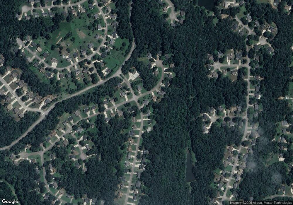
5309 Ashland Dr Flowery Branch, GA 30542
Estimated Value: $363,000 - $371,000
3
Beds
2
Baths
1,570
Sq Ft
$234/Sq Ft
Est. Value
About This Home
This home is located at 5309 Ashland Dr, Flowery Branch, GA 30542 and is currently estimated at $367,033, approximately $233 per square foot. 5309 Ashland Dr is a home located in Hall County with nearby schools including Spout Springs Elementary School, Cherokee Bluff Middle School, and Cherokee Bluff High School.
Ownership History
Date
Name
Owned For
Owner Type
Purchase Details
Closed on
Jul 30, 2002
Sold by
Welborn James D
Bought by
Dixon Mcrae and Dixon Betty
Current Estimated Value
Purchase Details
Closed on
Sep 30, 1999
Sold by
Brok-Perez Carolina D
Bought by
Welborn James D
Home Financials for this Owner
Home Financials are based on the most recent Mortgage that was taken out on this home.
Original Mortgage
$111,700
Interest Rate
7.85%
Mortgage Type
FHA
Purchase Details
Closed on
Jul 1, 1996
Purchase Details
Closed on
Nov 30, 1995
Sold by
Sunrise Home Builders
Bought by
Brok Perez Carolina D and Perez Daniel Mark
Create a Home Valuation Report for This Property
The Home Valuation Report is an in-depth analysis detailing your home's value as well as a comparison with similar homes in the area
Home Values in the Area
Average Home Value in this Area
Purchase History
| Date | Buyer | Sale Price | Title Company |
|---|---|---|---|
| Dixon Mcrae | $127,000 | -- | |
| Welborn James D | $115,000 | -- | |
| -- | $18,900 | -- | |
| Brok Perez Carolina D | $110,400 | -- |
Source: Public Records
Mortgage History
| Date | Status | Borrower | Loan Amount |
|---|---|---|---|
| Previous Owner | Welborn James D | $111,700 | |
| Closed | Brok Perez Carolina D | $0 |
Source: Public Records
Tax History Compared to Growth
Tax History
| Year | Tax Paid | Tax Assessment Tax Assessment Total Assessment is a certain percentage of the fair market value that is determined by local assessors to be the total taxable value of land and additions on the property. | Land | Improvement |
|---|---|---|---|---|
| 2024 | $1,215 | $138,480 | $36,680 | $101,800 |
| 2023 | $899 | $112,360 | $18,120 | $94,240 |
| 2022 | $971 | $99,680 | $20,800 | $78,880 |
| 2021 | $869 | $83,480 | $9,720 | $73,760 |
| 2020 | $849 | $79,560 | $9,720 | $69,840 |
| 2019 | $817 | $74,400 | $10,120 | $64,280 |
| 2018 | $759 | $66,680 | $8,800 | $57,880 |
| 2017 | $614 | $55,360 | $8,800 | $46,560 |
| 2016 | $526 | $51,040 | $8,800 | $42,240 |
| 2015 | $381 | $51,040 | $8,800 | $42,240 |
| 2014 | $381 | $34,018 | $6,000 | $28,018 |
Source: Public Records
Map
Nearby Homes
- 5536 Rolling Mist Ct
- 5540 Rolling Mist Ct
- 5505 Riverchase Dr
- 5526 Chestnut Creek Ln
- 5126 Cash Rd
- 5305 Mulberry Bend Ct
- 5306 Highpoint Rd
- 5325 Highpoint Rd
- 5432 Aurora Trail Unit LOT 70
- 5428 Aurora Trail
- 5428 Aurora Trail Unit LOT 71
- 5427 Aurora Trail Unit LOT 65
- 5436 Aurora Trail
- 5416 Aurora Trail Unit LOT 74
- 5412 Aurora Trail Unit LOT 75
- 5427 Aurora Trail
- 5435 Aurora Trail
- 5432 Aurora Trail
- 5412 Aurora Trail
- 5424 Aurora Trail Unit LOT 72
- 5206 Amherst Way
- 5313 Ashland Dr
- 5203 Amherst Way
- 5310 Ashland Dr
- 5314 Ashland Dr
- 5210 Amherst Way
- 0 Ashland Dr Unit 8257007
- 0 Ashland Dr Unit 8204856
- 0 Ashland Dr Unit 8124183
- 0 Ashland Dr Unit 8921677
- 0 Ashland Dr Unit 3149471
- 0 Ashland Dr Unit 3226646
- 0 Ashland Dr Unit 3241306
- 5308 Amherst Way
- 5318 Ashland Dr
- 5214 Amherst Way
- 5321 Ashland Dr
- 5311 Amherst Way Unit 57
- 5311 Amherst Way
- 5215 Amherst Way
