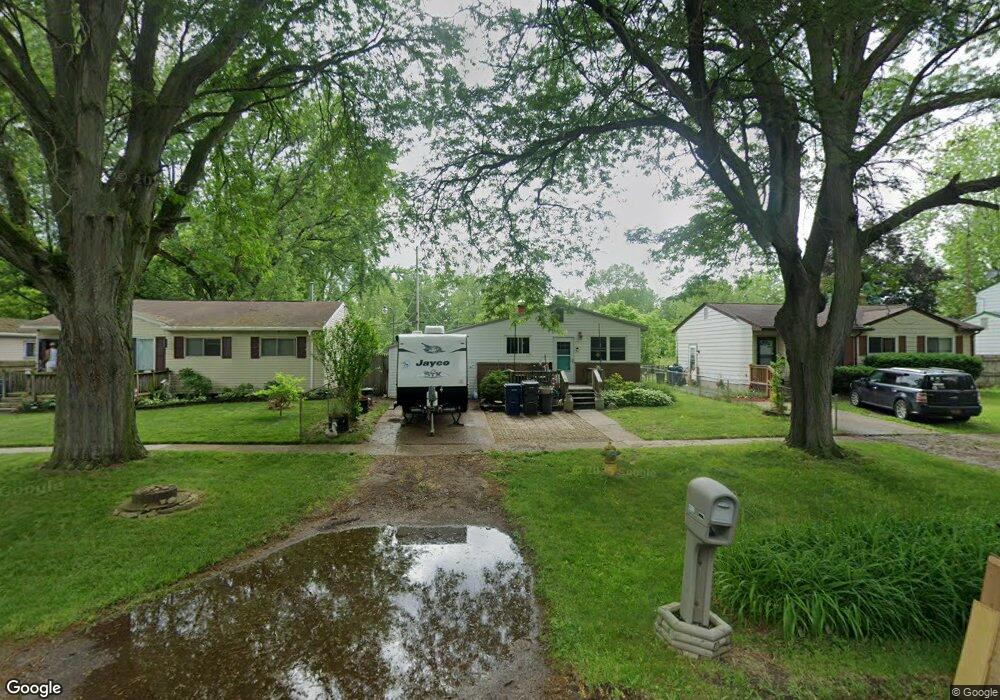
5309 Branch Rd Flint, MI 48506
Northeast Flint NeighborhoodEstimated Value: $74,350 - $85,000
3
Beds
1
Bath
1,366
Sq Ft
$59/Sq Ft
Est. Value
About This Home
This home is located at 5309 Branch Rd, Flint, MI 48506 and is currently estimated at $80,588, approximately $58 per square foot. 5309 Branch Rd is a home located in Genesee County with nearby schools including Brownell STEM Academy, Richfield Public School Academy, and Richfield Early Learning Center.
Ownership History
Date
Name
Owned For
Owner Type
Purchase Details
Closed on
Mar 31, 2006
Sold by
Fisher Edna M
Bought by
Mervyn Matthew and Mervyn Christina
Current Estimated Value
Home Financials for this Owner
Home Financials are based on the most recent Mortgage that was taken out on this home.
Original Mortgage
$68,000
Interest Rate
9.17%
Mortgage Type
Fannie Mae Freddie Mac
Purchase Details
Closed on
May 12, 2005
Sold by
Fisher Edna M
Bought by
Fisher Edna M and Edna M Fisher Trust
Create a Home Valuation Report for This Property
The Home Valuation Report is an in-depth analysis detailing your home's value as well as a comparison with similar homes in the area
Home Values in the Area
Average Home Value in this Area
Purchase History
| Date | Buyer | Sale Price | Title Company |
|---|---|---|---|
| Mervyn Matthew | $85,000 | Title Source Inc | |
| Fisher Edna M | $85,000 | Env | |
| Fisher Edna M | -- | -- |
Source: Public Records
Mortgage History
| Date | Status | Borrower | Loan Amount |
|---|---|---|---|
| Previous Owner | Fisher Edna M | $68,000 |
Source: Public Records
Tax History Compared to Growth
Tax History
| Year | Tax Paid | Tax Assessment Tax Assessment Total Assessment is a certain percentage of the fair market value that is determined by local assessors to be the total taxable value of land and additions on the property. | Land | Improvement |
|---|---|---|---|---|
| 2025 | $1,080 | $33,900 | $0 | $0 |
| 2024 | $975 | $28,300 | $0 | $0 |
| 2023 | $956 | $23,600 | $0 | $0 |
| 2022 | $0 | $16,800 | $0 | $0 |
| 2021 | $988 | $16,500 | $0 | $0 |
| 2020 | $888 | $13,100 | $0 | $0 |
| 2019 | $920 | $14,100 | $0 | $0 |
| 2018 | $949 | $14,100 | $0 | $0 |
| 2017 | $930 | $0 | $0 | $0 |
| 2016 | $924 | $0 | $0 | $0 |
| 2015 | -- | $0 | $0 | $0 |
| 2014 | -- | $0 | $0 | $0 |
| 2012 | -- | $18,700 | $0 | $0 |
Source: Public Records
Map
Nearby Homes
- 2802 Eaton Place
- 4907 Delta Dr
- 5501 Western Rd
- 2710 Eaton Place
- 2713 Alpha Way
- 3009 Plainfield Ave
- 5220 Western Rd
- 2801 Epsilon Trail
- 2910 Hampstead Dr
- 3299 E Pierson Rd
- 5919 Western Rd
- 4923 Alpha Way
- 3364 E Pierson Rd
- 3250 Carr St
- 3456 E Pierson Rd
- 4418 Branch Rd
- 3200 N Averill Ave
- 4127 Coggins Ave
- 2935 Richfield Rd
- 00 Richfield Rd
- 5305 Branch Rd
- 5313 Branch Rd
- 5301 Branch Rd
- 5317 Branch Rd
- 5401 Branch Rd
- 5217 Branch Rd
- 5213 Branch Rd
- 5405 Branch Rd
- 5302 Winsford By Way
- 5306 Winsford By Way
- 5205 Branch Rd
- 5206 Winsford Byway
- 5413 Branch Rd
- 2937 Eaton Place
- 5201 Branch Rd
- 5501 Branch Rd
- 2932 Eaton Place
- 5509 Branch Rd
- 2919 Eaton Place
- 5112 Winsford By Way