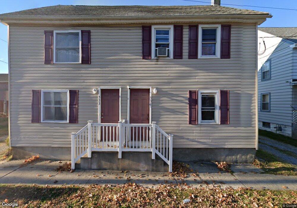
531 Auburn Ave Unit 33 Swedesboro, NJ 08085
Estimated Value: $339,579 - $368,000
--
Bed
--
Bath
2,088
Sq Ft
$170/Sq Ft
Est. Value
About This Home
This home is located at 531 Auburn Ave Unit 33, Swedesboro, NJ 08085 and is currently estimated at $355,395, approximately $170 per square foot. 531 Auburn Ave Unit 33 is a home located in Gloucester County with nearby schools including Margaret C Clifford School, Gov. Charles C. Stratton School, and Gen. Charles G. Harker School.
Ownership History
Date
Name
Owned For
Owner Type
Purchase Details
Closed on
May 16, 2022
Sold by
Berrios Carlos J and Berrios Bonnie J
Bought by
Rehill Robert V and Suriel Paola
Current Estimated Value
Home Financials for this Owner
Home Financials are based on the most recent Mortgage that was taken out on this home.
Original Mortgage
$297,472
Outstanding Balance
$282,718
Interest Rate
5.3%
Mortgage Type
FHA
Estimated Equity
$72,677
Purchase Details
Closed on
Jan 30, 2004
Sold by
Paige James and Holmes Elizabeth
Bought by
Berrios Carlos and Berrios Bonnie J
Create a Home Valuation Report for This Property
The Home Valuation Report is an in-depth analysis detailing your home's value as well as a comparison with similar homes in the area
Home Values in the Area
Average Home Value in this Area
Purchase History
| Date | Buyer | Sale Price | Title Company |
|---|---|---|---|
| Rehill Robert V | $285,000 | Wollman David A | |
| Rehill Robert V | $285,000 | None Listed On Document | |
| Berrios Carlos | $50,000 | -- |
Source: Public Records
Mortgage History
| Date | Status | Borrower | Loan Amount |
|---|---|---|---|
| Open | Rehill Robert V | $297,472 | |
| Closed | Rehill Robert V | $297,472 |
Source: Public Records
Tax History Compared to Growth
Tax History
| Year | Tax Paid | Tax Assessment Tax Assessment Total Assessment is a certain percentage of the fair market value that is determined by local assessors to be the total taxable value of land and additions on the property. | Land | Improvement |
|---|---|---|---|---|
| 2025 | $7,921 | $186,300 | $31,700 | $154,600 |
| 2024 | $7,853 | $186,300 | $31,700 | $154,600 |
| 2023 | $7,853 | $186,300 | $31,700 | $154,600 |
| 2022 | $7,836 | $186,300 | $31,700 | $154,600 |
| 2021 | $7,841 | $186,300 | $31,700 | $154,600 |
| 2020 | $7,564 | $186,300 | $31,700 | $154,600 |
| 2019 | $7,430 | $186,300 | $31,700 | $154,600 |
| 2018 | $7,502 | $186,300 | $31,700 | $154,600 |
| 2017 | $7,461 | $186,300 | $31,700 | $154,600 |
| 2016 | $7,454 | $186,300 | $31,700 | $154,600 |
| 2015 | $7,240 | $186,300 | $31,700 | $154,600 |
| 2014 | $6,789 | $185,200 | $32,800 | $152,400 |
Source: Public Records
Map
Nearby Homes
- 1602 Kings Hwy
- 109 Chestnut St
- 122 East Ave
- 1736 Kings Hwy
- 1316 Kings Hwy
- 1312 Kings Hwy
- 110 Franklin St
- 414 Vanneman Ave
- 209 Broad St
- 1030 Auburn Rd
- 2101 Lexington Mews
- 2501 Lexington Mews
- 1508 Lexington Mews
- 1406 Lexington Mews
- 1801 Lexington Mews
- 26 Garwin Rd
- 114 Saratoga Ln
- 218 Dominics Ct
- 16 Gabrielle Cir
- 501 Sammy St
- 531 533 Auburn Ave
- 529 Auburn Ave Unit M04
- 525 Auburn Ave Unit 27
- 6-8 Richardson Ave
- 6 Richardson Ave
- 68 Richardson Ave
- 4 Richardson Ave
- 527 Auburn Ave
- 7 Richardson Ave
- 1527 Kings Hwy
- 550 Auburn Ave
- 1529 Kings Hwy
- 1525 Kings Hwy
- 521 Auburn Ave
- 17 Richardson Ave
- 517 Auburn Ave
- 15 Richardson Ave
- 15-17 Richardson Ave
- 12 Poplar St Unit M06
- 1505 Kings Hwy