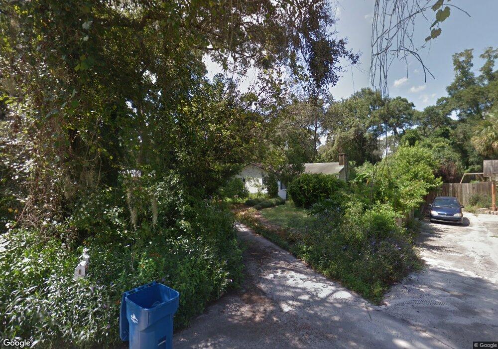
531 Compton Ct Deland, FL 32724
North DeLand NeighborhoodEstimated Value: $256,445 - $278,000
2
Beds
2
Baths
1,214
Sq Ft
$220/Sq Ft
Est. Value
About This Home
This home is located at 531 Compton Ct, Deland, FL 32724 and is currently estimated at $267,611, approximately $220 per square foot. 531 Compton Ct is a home located in Volusia County with nearby schools including Deland High School, George W. Marks Elementary School, and Deland Middle School.
Ownership History
Date
Name
Owned For
Owner Type
Purchase Details
Closed on
Mar 15, 1995
Sold by
Norris John R and Norris Avoula
Bought by
Fuoto Pamela
Current Estimated Value
Home Financials for this Owner
Home Financials are based on the most recent Mortgage that was taken out on this home.
Original Mortgage
$50,400
Interest Rate
8.86%
Purchase Details
Closed on
Dec 15, 1979
Bought by
Fuoto Pamela
Purchase Details
Closed on
May 15, 1974
Bought by
Fuoto Pamela
Create a Home Valuation Report for This Property
The Home Valuation Report is an in-depth analysis detailing your home's value as well as a comparison with similar homes in the area
Home Values in the Area
Average Home Value in this Area
Purchase History
| Date | Buyer | Sale Price | Title Company |
|---|---|---|---|
| Fuoto Pamela | $63,000 | -- | |
| Fuoto Pamela | $37,000 | -- | |
| Fuoto Pamela | $36,000 | -- |
Source: Public Records
Mortgage History
| Date | Status | Borrower | Loan Amount |
|---|---|---|---|
| Closed | Fuoto Pamela | $50,400 |
Source: Public Records
Tax History Compared to Growth
Tax History
| Year | Tax Paid | Tax Assessment Tax Assessment Total Assessment is a certain percentage of the fair market value that is determined by local assessors to be the total taxable value of land and additions on the property. | Land | Improvement |
|---|---|---|---|---|
| 2025 | $590 | $66,292 | -- | -- |
| 2024 | $590 | $64,424 | -- | -- |
| 2023 | $590 | $62,548 | $0 | $0 |
| 2022 | $563 | $60,726 | $0 | $0 |
| 2021 | $572 | $58,957 | $0 | $0 |
| 2020 | $567 | $58,143 | $0 | $0 |
| 2019 | $575 | $56,836 | $0 | $0 |
| 2018 | $565 | $55,776 | $0 | $0 |
| 2017 | $542 | $54,629 | $0 | $0 |
| 2016 | $505 | $53,505 | $0 | $0 |
| 2015 | -- | $53,133 | $0 | $0 |
| 2014 | -- | $52,711 | $0 | $0 |
Source: Public Records
Map
Nearby Homes
- 528 Compton Ct
- 569 Parkdale Ct
- 526 Cumberland Rd
- 605 John Thomas Ave
- 404 E Kentucky Ave
- 717 E Grove Place
- 1408 N Garfield Ave
- 505 E Plymouth Ave
- 1412 N Garfield Ave
- 708 Montreville Ave
- 612 E Plymouth Ave
- 1207 N Amelia Ave
- 516 Grace Ave
- 1300 Benton Lake Dr E
- 930 N Amelia Ave
- 1301 N Amelia Ave
- 1150 Orangewood Ave
- 325 E Plymouth Ave
- 1401 Hendren Dr
- 931 Azalea Walk Cir
- 535 Compton Ct
- 1105 N Garfield Ave
- 537 Compton Ct
- 1107 N Garfield Ave
- 524 Compton Ct
- 1103 N Garfield Ave
- 539 Compton Ct
- 1101 N Garfield Ave
- 530 Compton Ct
- 568 Parkdale Ct
- 507 Sandale Ct
- 509 Sandale Ct
- 540 Compton Ct
- 511 Sandale Ct
- 571 Compton Ct
- 570 Parkdale Ct
- 503 Sandale Ct
- 513 Sandale Ct
- 532 Cumberland Rd
- 1197 N Garfield Ave