531 Kiowa Dr W Gainesville, TX 76240
Estimated Value: $590,000 - $1,012,000
3
Beds
2
Baths
2,573
Sq Ft
$340/Sq Ft
Est. Value
About This Home
This home is located at 531 Kiowa Dr W, Gainesville, TX 76240 and is currently estimated at $874,023, approximately $339 per square foot. 531 Kiowa Dr W is a home located in Cooke County with nearby schools including Callisburg Elementary School, Callisburg Middle School, and Callisburg High School.
Ownership History
Date
Name
Owned For
Owner Type
Purchase Details
Closed on
Feb 28, 2014
Sold by
Daniel Arnold Dale and Daniel Gloria Kay
Bought by
Williams Lendon W and Williams Cynthia G
Current Estimated Value
Home Financials for this Owner
Home Financials are based on the most recent Mortgage that was taken out on this home.
Original Mortgage
$302,000
Outstanding Balance
$228,692
Interest Rate
4.47%
Mortgage Type
New Conventional
Estimated Equity
$645,331
Purchase Details
Closed on
Oct 7, 2005
Sold by
Daniels Arnold Dale and Daniels Gloria Kay
Bought by
Daniels Arnold Dale and Daniels Gloria Kay
Create a Home Valuation Report for This Property
The Home Valuation Report is an in-depth analysis detailing your home's value as well as a comparison with similar homes in the area
Home Values in the Area
Average Home Value in this Area
Purchase History
| Date | Buyer | Sale Price | Title Company |
|---|---|---|---|
| Williams Lendon W | -- | Reunion Title | |
| Daniels Arnold Dale | -- | -- |
Source: Public Records
Mortgage History
| Date | Status | Borrower | Loan Amount |
|---|---|---|---|
| Open | Williams Lendon W | $302,000 |
Source: Public Records
Tax History Compared to Growth
Tax History
| Year | Tax Paid | Tax Assessment Tax Assessment Total Assessment is a certain percentage of the fair market value that is determined by local assessors to be the total taxable value of land and additions on the property. | Land | Improvement |
|---|---|---|---|---|
| 2025 | $5,202 | $701,078 | $511,165 | $449,169 |
| 2024 | $5,202 | $982,512 | $533,655 | $448,857 |
| 2023 | $7,397 | $579,404 | $318,374 | $526,916 |
| 2022 | $7,813 | $742,646 | $295,848 | $446,798 |
| 2021 | $8,757 | $478,846 | $161,508 | $317,338 |
| 2020 | $9,103 | $492,909 | $153,515 | $339,394 |
| 2019 | $8,273 | $424,618 | $139,527 | $285,091 |
| 2018 | $7,822 | $399,323 | $136,076 | $263,247 |
| 2017 | $7,555 | $382,119 | $134,076 | $248,043 |
| 2015 | $7,033 | $367,179 | $134,076 | $233,103 |
| 2014 | $7,033 | $365,111 | $134,076 | $231,035 |
Source: Public Records
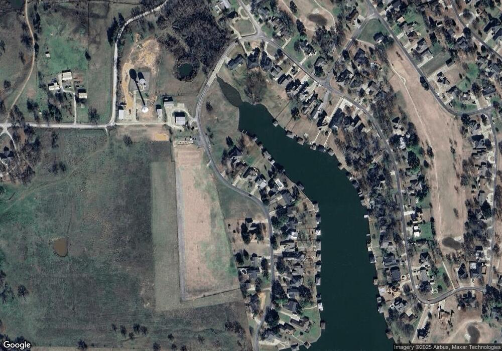
Map
Nearby Homes
- 615 Kiowa Dr W
- 702 Kiowa Dr W
- 734 Kiowa Dr W
- 230 Navajo Trail
- 102 Huron Trail
- 736 Kiowa Dr W
- 100 Huron Trail
- 300 Navajo Trail
- 116 Modoc Trail
- 206 Modoc Trail
- 117 Modoc Trail
- 413 Cocopa Dr
- 128 San Chez Dr
- 912 Kiowa Dr W
- 205 San Chez Dr
- 315 Navajo Trail
- 101 Wasco Cove
- 6025 Fm 902
- 105 Cocopa Cove
- 409 Navajo Trail