Estimated Value: $318,683 - $412,000
2
Beds
1
Bath
1,630
Sq Ft
$225/Sq Ft
Est. Value
About This Home
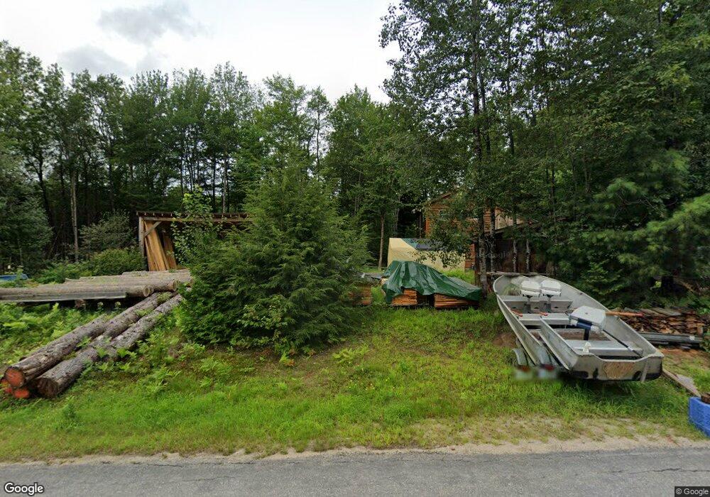
This home is located at 531 Northside Rd, Stark, NH 03582 and is currently estimated at $367,421, approximately $225 per square foot. 531 Northside Rd is a home.
Ownership History
We collect this data history from publicly available records. To have your information removed, we recommend requesting removal directly through your county’s website.
Date
Name
Owned For
Owner Type
Purchase Details
Closed on
Jul 7, 2017
Sold by
Bought by
Current Estimated Value
Create a Home Valuation Report for This Property
The Home Valuation Report is an in-depth analysis detailing your home's value as well as a comparison with similar homes in the area
Purchase History
We collect this data history from publicly available records. To have your information removed, we recommend requesting removal directly through your county’s website.
| Date | Buyer | Sale Price | Title Company |
|---|---|---|---|
| -- | -- |
Source: Public Records
Tax History
We collect this data history from publicly available records. To have your information removed, we recommend requesting removal directly through your county’s website.
| Year | Tax Paid | Tax Assessment Tax Assessment Total Assessment is a certain percentage of the fair market value that is determined by local assessors to be the total taxable value of land and additions on the property. | Land | Improvement |
|---|---|---|---|---|
| 2025 | $4,031 | $341,300 | $99,500 | $241,800 |
| 2024 | $3,707 | $341,300 | $99,500 | $241,800 |
| 2023 | $2,704 | $130,500 | $41,200 | $89,300 |
| 2022 | $2,135 | $130,500 | $41,200 | $89,300 |
| 2021 | $2,600 | $130,500 | $41,200 | $89,300 |
| 2020 | $2,074 | $115,200 | $41,200 | $74,000 |
| 2019 | $2,082 | $115,200 | $41,200 | $74,000 |
| 2018 | $1,941 | $108,100 | $30,000 | $78,100 |
| 2017 | $1,966 | $108,100 | $30,000 | $78,100 |
| 2016 | $557 | $32,000 | $26,800 | $5,200 |
| 2015 | $544 | $32,000 | $26,800 | $5,200 |
| 2014 | $496 | $28,400 | $28,400 | $0 |
| 2013 | $475 | $27,200 | $27,200 | $0 |
Source: Public Records
Map
Nearby Homes
- 00 Northside Rd Unit 21.1 and 34.12
- 24 Nash Stream Rd
- 299 Cloutier Dr
- 951 Lancaster Rd
- 388 Percy Rd
- 338 Percy Rd
- 57 Brooklyn St
- 13 Fiske St
- 22 Crow Hill St
- 46 Kelly Rd
- 5 Cottage St
- 27 Hillside Ave
- 14 Winter St
- 59 Second St
- 14 & 16 Main St
- 94 Hillside Ave
- 16 Thompson Rd
- 66 Covell Heights
- 0 Thompson Rd Unit 8
- 201 State St
- 550 Northside Rd
- 559 Northside Rd
- 519 Northside Rd
- L 19 Stratford Unit 19
- 581 Northside Rd
- 587 Northside Rd
- 513 Northside Rd
- 512 Northside Rd Unit Map 407 Lot 029
- 586 Northside Rd
- 131 N Jordan Hill Rd
- 51 Lee Hill Rd
- 71 Lee Hill Rd
- 39 Lee Hill Rd
- 637 Northside Rd
- 496 Northside Rd
- 640 Northside Rd
- 54 Lee Hill Rd
- 0 Northside Rd Unit Map 407 Lot 11.2
- 450 Northside Rd
- 00 Northside Rd Unit Map 407 Lot 11.1
Your Personal Tour Guide
Ask me questions while you tour the home.