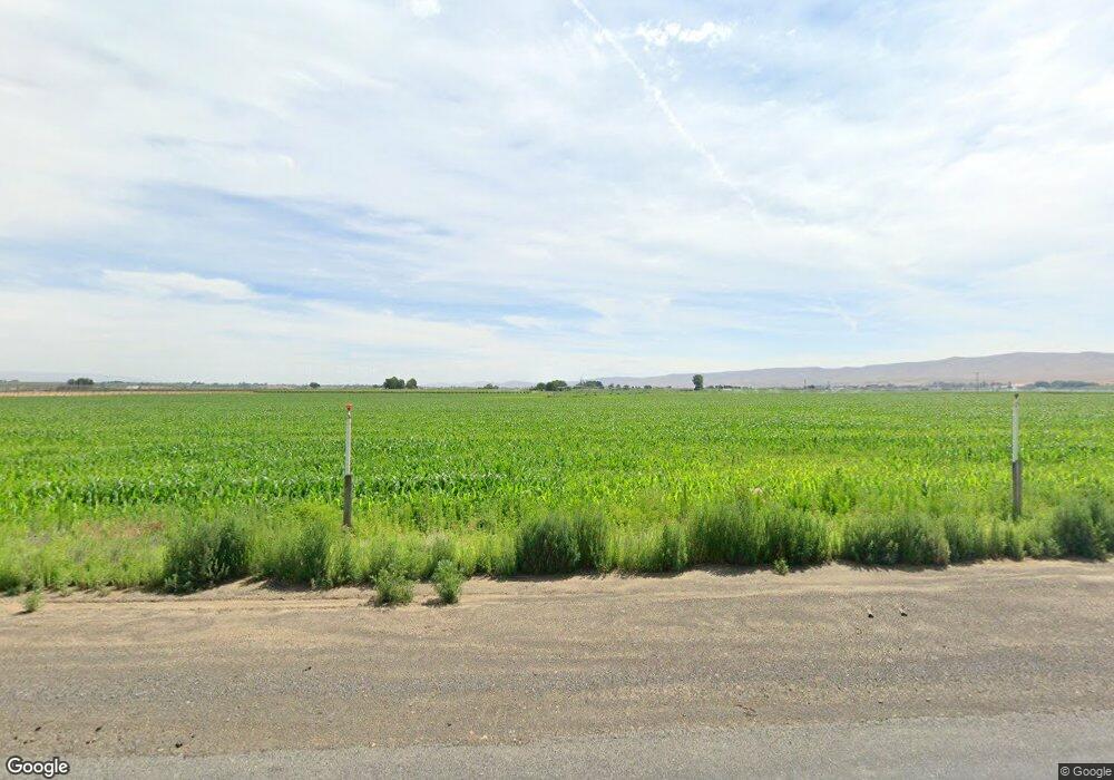
531 Phillips Rd Mabton, WA 98935
Estimated Value: $245,749 - $326,000
3
Beds
2
Baths
1,040
Sq Ft
$272/Sq Ft
Est. Value
About This Home
This home is located at 531 Phillips Rd, Mabton, WA 98935 and is currently estimated at $282,583, approximately $271 per square foot. 531 Phillips Rd is a home located in Yakima County with nearby schools including Artz Fox Elementary School and Mabton Junior/Senior High School.
Ownership History
Date
Name
Owned For
Owner Type
Purchase Details
Closed on
Jun 10, 2013
Sold by
Larios Joaquin
Bought by
Mendoza Israel Garcia
Current Estimated Value
Home Financials for this Owner
Home Financials are based on the most recent Mortgage that was taken out on this home.
Original Mortgage
$110,000
Interest Rate
3.32%
Mortgage Type
New Conventional
Purchase Details
Closed on
May 14, 2007
Sold by
Korstad William H and Korstad Donna L
Bought by
Larios Joaquin
Home Financials for this Owner
Home Financials are based on the most recent Mortgage that was taken out on this home.
Original Mortgage
$171,513
Interest Rate
6.18%
Mortgage Type
Purchase Money Mortgage
Create a Home Valuation Report for This Property
The Home Valuation Report is an in-depth analysis detailing your home's value as well as a comparison with similar homes in the area
Home Values in the Area
Average Home Value in this Area
Purchase History
| Date | Buyer | Sale Price | Title Company |
|---|---|---|---|
| Mendoza Israel Garcia | $120,337 | Schreiner Title Company | |
| Larios Joaquin | $203,370 | Schreiner Title Company |
Source: Public Records
Mortgage History
| Date | Status | Borrower | Loan Amount |
|---|---|---|---|
| Closed | Mendoza Israel Garcia | $110,000 | |
| Previous Owner | Larios Joaquin | $171,513 |
Source: Public Records
Tax History Compared to Growth
Tax History
| Year | Tax Paid | Tax Assessment Tax Assessment Total Assessment is a certain percentage of the fair market value that is determined by local assessors to be the total taxable value of land and additions on the property. | Land | Improvement |
|---|---|---|---|---|
| 2025 | $587 | $54,610 | $50,210 | $4,400 |
| 2023 | $564 | $54,600 | $50,200 | $4,400 |
| 2022 | $731 | $52,440 | $48,040 | $4,400 |
| 2021 | $881 | $65,090 | $60,690 | $4,400 |
| 2019 | $904 | $62,030 | $62,030 | $0 |
| 2018 | $933 | $59,480 | $59,480 | $0 |
| 2017 | $1,717 | $56,450 | $56,450 | $0 |
| 2016 | $1,850 | $147,640 | $52,940 | $94,700 |
| 2015 | $1,850 | $145,180 | $49,480 | $95,700 |
| 2014 | $1,850 | $151,890 | $40,190 | $111,700 |
| 2013 | $1,850 | $151,890 | $40,190 | $111,700 |
Source: Public Records
Map
Nearby Homes
- 1051 County Line
- 0 Highschool Rd
- 807 South St
- 404 South St
- 215-221 North St
- 216 North St
- 318 N 3rd St
- 324 3rd Ave
- 418 Rose St
- 221 Jackson St
- 91 Belma Rd
- 2202 Hill Dr
- 1617 Parkwood Ct Unit (Phase 12 Lot 327) P
- 1616 Castlewood Ct Unit (Phase 11 Lot 305) S
- 1616 Castlewood Ct
- 1200 S Euclid St Unit 76
- 1615 Castlewood Ct Unit (Phase 11 Lot 303) S
- 1615 Castlewood Ct
- 501 Amberly Ave
- 481 Apricot Rd
- 621 Phillips Rd
- 460 Phillips Rd
- 2101 High School Rd
- 251 Simpson Rd
- 4501 E Euclid Rd
- 2050 High School Rd
- 4460 E Euclid Rd
- 4321 E Euclid Rd
- 610 Fisher Rd
- 2000 High School Rd
- 250 Phillips Rd
- 740 Fisher Rd
- 4081 E Euclid Rd
- 4941 E Euclid Rd
- 1861 Highschool Rd
- 4917 E Euclid Rd
- 4971 E Euclid Rd
- 4020 E Euclid Rd
- 1701 High School Rd
- 371 Farm Ln
