531 Pinecrest Dr Port Townsend, WA 98368
Kala Point NeighborhoodEstimated Value: $771,030 - $899,000
3
Beds
3
Baths
2,399
Sq Ft
$342/Sq Ft
Est. Value
About This Home
This home is located at 531 Pinecrest Dr, Port Townsend, WA 98368 and is currently estimated at $819,508, approximately $341 per square foot. 531 Pinecrest Dr is a home located in Jefferson County with nearby schools including Salish Coast Elementary School, Blue Heron Middle School, and Port Townsend High School.
Ownership History
Date
Name
Owned For
Owner Type
Purchase Details
Closed on
Nov 4, 2020
Sold by
Sweat David A and Sweat Ann N
Bought by
Turnbull Dorothy M and Mazza Raymond H
Current Estimated Value
Create a Home Valuation Report for This Property
The Home Valuation Report is an in-depth analysis detailing your home's value as well as a comparison with similar homes in the area
Home Values in the Area
Average Home Value in this Area
Purchase History
| Date | Buyer | Sale Price | Title Company |
|---|---|---|---|
| Turnbull Dorothy M | $600,000 | First American Title |
Source: Public Records
Tax History Compared to Growth
Tax History
| Year | Tax Paid | Tax Assessment Tax Assessment Total Assessment is a certain percentage of the fair market value that is determined by local assessors to be the total taxable value of land and additions on the property. | Land | Improvement |
|---|---|---|---|---|
| 2024 | $5,695 | $697,444 | $117,700 | $579,744 |
| 2023 | $5,695 | $649,510 | $107,100 | $542,410 |
| 2022 | $4,540 | $614,755 | $97,000 | $517,755 |
| 2021 | $4,642 | $470,964 | $94,415 | $376,549 |
| 2020 | $4,222 | $452,376 | $90,310 | $362,066 |
| 2019 | $3,678 | $400,718 | $82,100 | $318,618 |
| 2018 | $4,084 | $371,753 | $82,100 | $289,653 |
| 2017 | $3,440 | $363,790 | $69,390 | $294,400 |
| 2016 | $3,044 | $325,091 | $61,680 | $263,411 |
| 2015 | $3,035 | $303,639 | $61,680 | $241,959 |
| 2014 | -- | $301,874 | $80,955 | $220,919 |
| 2013 | -- | $287,500 | $77,100 | $210,400 |
Source: Public Records
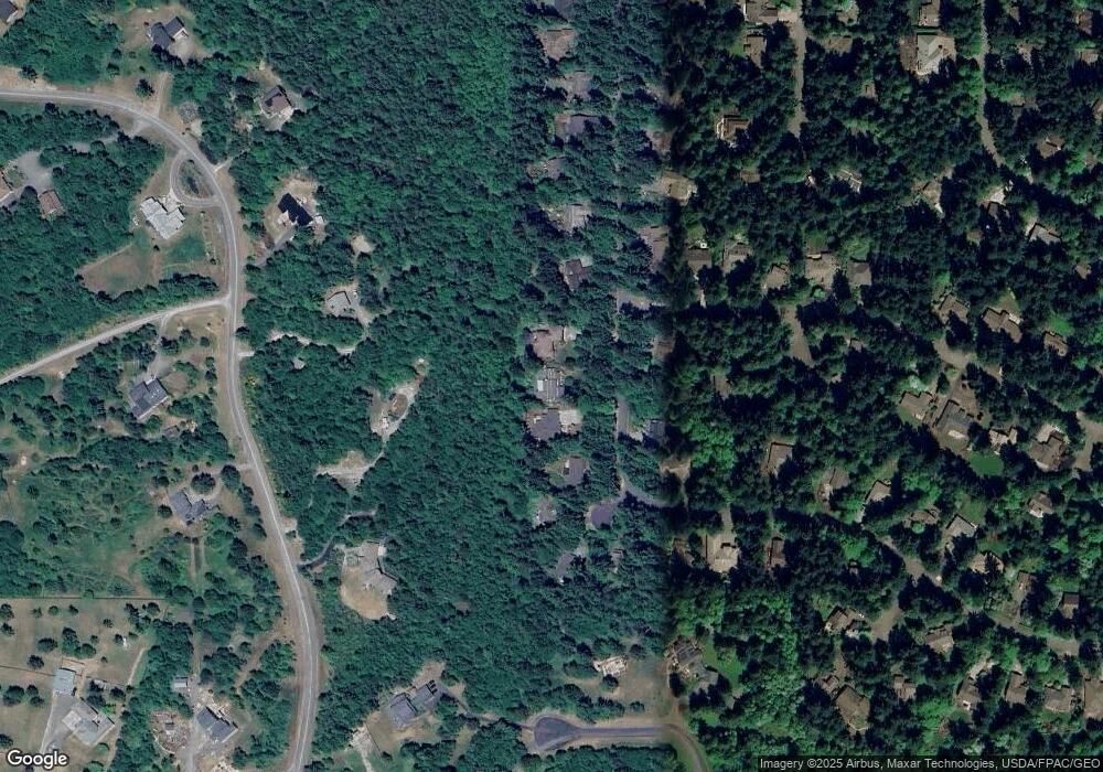
Map
Nearby Homes
- 1673 Woodland Dr
- 23 Fairbreeze Dr
- 225 Belvedere Dr
- 0 Woodland Dr
- 1133 Parkridge Dr
- 20 Seaview Ct Unit 1
- 28 Buckhorn Place
- 0 Prospect Ave Unit NWM2410763
- 0 Prospect Ave
- 593 Prospect Ave
- 110 Windship Dr
- 190 Bluffs Dr Unit 1
- 32 S Duquesne Ave
- 0 S Duquesne Ave
- 174 E Island View Ave
- 999 Kala Lagoon Ct
- 0 N Andrew Ave
- 9999 S Discovery Rd
- 6192 State Route 20
- 176 Lot 2 Louisa St
- 521 Pinecrest Dr
- 563 Pinecrest Dr
- 10 Pinecrest Ct
- 581 Pinecrest Dr
- 514 Pinecrest Dr
- 30 Pinecrest Ct
- 460 Pinecrest Dr
- 600 Pinecrest Dr
- 617 Pinecrest Dr
- 22 Shorecrest Place
- 290 Oak Shore Dr
- 21 Pinecrest Ct
- 35 Pinecrest Ct
- 461 Pinecrest Dr
- 635 Pinecrest Dr
- 624 Pinecrest Dr
- 420 Pinecrest Dr
- 360 Shorecrest Place