531 Route 31 N Ringoes, NJ 08551
Estimated Value: $697,660 - $968,000
--
Bed
--
Bath
2,907
Sq Ft
$290/Sq Ft
Est. Value
About This Home
This home is located at 531 Route 31 N, Ringoes, NJ 08551 and is currently estimated at $841,915, approximately $289 per square foot. 531 Route 31 N is a home located in Hunterdon County with nearby schools including East Amwell Township, Hunterdon Central Regional High School District, and Our Hope Christian Academy.
Ownership History
Date
Name
Owned For
Owner Type
Purchase Details
Closed on
Jan 3, 1909
Sold by
Davies Kay Lynn
Bought by
Wasitowski Kenneth S
Current Estimated Value
Home Financials for this Owner
Home Financials are based on the most recent Mortgage that was taken out on this home.
Original Mortgage
$127,750
Interest Rate
6.64%
Create a Home Valuation Report for This Property
The Home Valuation Report is an in-depth analysis detailing your home's value as well as a comparison with similar homes in the area
Home Values in the Area
Average Home Value in this Area
Purchase History
| Date | Buyer | Sale Price | Title Company |
|---|---|---|---|
| Wasitowski Kenneth S | $9,013,450 | -- |
Source: Public Records
Mortgage History
| Date | Status | Borrower | Loan Amount |
|---|---|---|---|
| Previous Owner | Wasitowski Kenneth S | $127,750 |
Source: Public Records
Tax History Compared to Growth
Tax History
| Year | Tax Paid | Tax Assessment Tax Assessment Total Assessment is a certain percentage of the fair market value that is determined by local assessors to be the total taxable value of land and additions on the property. | Land | Improvement |
|---|---|---|---|---|
| 2025 | $11,122 | $420,800 | $141,800 | $279,000 |
| 2024 | $10,987 | $420,800 | $141,800 | $279,000 |
| 2023 | $10,987 | $420,800 | $141,800 | $279,000 |
| 2022 | $10,911 | $420,800 | $141,800 | $279,000 |
| 2021 | $10,364 | $420,800 | $141,800 | $279,000 |
| 2020 | $10,676 | $420,800 | $141,800 | $279,000 |
| 2019 | $10,364 | $420,800 | $141,800 | $279,000 |
| 2018 | $10,078 | $420,800 | $141,800 | $279,000 |
| 2017 | $9,998 | $420,800 | $141,800 | $279,000 |
| 2016 | $9,931 | $420,800 | $141,800 | $279,000 |
| 2015 | $9,678 | $420,800 | $141,800 | $279,000 |
| 2014 | $9,607 | $420,800 | $141,800 | $279,000 |
Source: Public Records
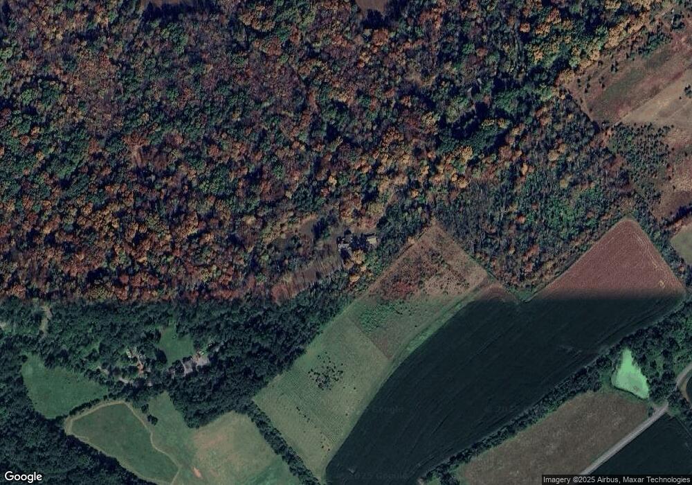
Map
Nearby Homes
- 106 Rocktown Rd
- 0 Back Brook Rd
- 80 Linvale Rd
- 22 Rocktown Hill Rd
- 34 Back Brook Rd
- 38 John Ringo Rd
- 0 Old York Rd
- 13 Iron Horse Dr
- 14 Hwy202 31
- 16 U S 202
- 7 Toad Ln
- 526 County Rd Unit 579
- 10 Pheasant Dr
- 9 Woodsville Rd
- 14 Rosemont Ringoes Rd
- 90 Old York Rd
- 338 Rileyville Rd
- 112 Old York Rd
- 9 Stark Ct
- 1 Summershade Ln