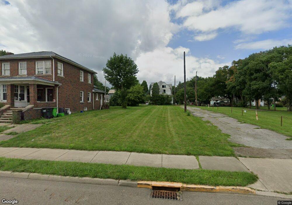
531 S Arch Ave Alliance, OH 44601
Estimated Value: $17,936
4
Beds
2
Baths
2,305
Sq Ft
$8/Sq Ft
Est. Value
About This Home
This home is located at 531 S Arch Ave, Alliance, OH 44601 and is currently priced at $17,936, approximately $7 per square foot. 531 S Arch Ave is a home located in Stark County with nearby schools including Alliance Intermediate School at Northside, Alliance Elementary School at Rockhill, and Alliance Middle School.
Ownership History
Date
Name
Owned For
Owner Type
Purchase Details
Closed on
May 13, 2024
Sold by
Stark Cnty Land Reutilization
Bought by
Alliance City and Alliance Land Reutilizati
Current Estimated Value
Purchase Details
Closed on
Sep 5, 2017
Sold by
Adamides David
Bought by
Stark County Land Reutilization Corporat
Purchase Details
Closed on
Mar 1, 2005
Sold by
Clark James C
Bought by
Adamides David
Purchase Details
Closed on
Jan 26, 2005
Sold by
Household Realty Corp
Bought by
Clark James
Purchase Details
Closed on
Dec 14, 2004
Sold by
Neiswanger Dale B and Neiswanger Star
Bought by
Household Realty Corp
Purchase Details
Closed on
Jan 29, 1988
Create a Home Valuation Report for This Property
The Home Valuation Report is an in-depth analysis detailing your home's value as well as a comparison with similar homes in the area
Home Values in the Area
Average Home Value in this Area
Purchase History
| Date | Buyer | Sale Price | Title Company |
|---|---|---|---|
| Alliance City | -- | None Listed On Document | |
| Stark County Land Reutilization Corporat | -- | None Available | |
| Adamides David | $10,400 | -- | |
| Clark James | $8,500 | -- | |
| Household Realty Corp | $24,000 | -- | |
| -- | $44,900 | -- |
Source: Public Records
Tax History Compared to Growth
Tax History
| Year | Tax Paid | Tax Assessment Tax Assessment Total Assessment is a certain percentage of the fair market value that is determined by local assessors to be the total taxable value of land and additions on the property. | Land | Improvement |
|---|---|---|---|---|
| 2025 | -- | $1,960 | $1,960 | -- |
| 2024 | -- | $2,240 | $2,240 | -- |
| 2023 | $0 | $910 | $910 | $0 |
| 2022 | $731 | $910 | $910 | $0 |
| 2021 | $731 | $910 | $910 | $0 |
| 2020 | -- | $950 | $950 | $0 |
| 2019 | $218 | $8,340 | $1,860 | $6,480 |
| 2018 | $1,030 | $8,340 | $1,860 | $6,480 |
| 2017 | $1,030 | $7,390 | $1,540 | $5,850 |
| 2016 | $4,449 | $7,390 | $1,540 | $5,850 |
| 2015 | $735 | $7,390 | $1,540 | $5,850 |
| 2014 | $358 | $7,560 | $1,400 | $6,160 |
| 2013 | $429 | $7,560 | $1,400 | $6,160 |
Source: Public Records
Map
Nearby Homes
- 432 S Linden Ave
- 452 E Summit St
- 356 E Broadway St
- 427 S Union Ave
- V/L S Fredeom Ave
- 807 S Union Ave
- 140 W Summit St
- 442 S Liberty Ave
- 361 E Main St
- 142 S Seneca Ave
- 1005 S Freedom Ave
- 132 S Haines Ave
- 163 W Market St
- 1175 S Freedom Ave
- 1044 S Liberty Ave
- 814 Milner St
- 831 Wade Ave
- 551 South St
- 645 W Summit St
- 345 W Market St
- 539 S Arch Ave
- 539 S Arch Ave Unit B
- 539 S Arch Ave Unit Upstairs Apt
- 539 S Arch Ave Unit UP
- 549 S Arch Ave
- 224 E Cambridge St
- 222 E Cambridge St
- 223 E Oxford St
- 603 S Arch Ave
- 522 S Arch Ave
- 210 E Cambridge St
- 215 E Oxford St
- 534 S Arch Ave
- 530 S Mechanic Ave
- 611 S Arch Ave
- 202 E Cambridge St
- 602 S Arch Ave
- 205 E Oxford St
- 325 E Oxford St
- 623 S Arch Ave