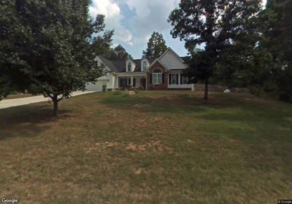
531 Upton Dr Dalton, GA 30721
Estimated Value: $292,000 - $374,000
--
Bed
2
Baths
2,203
Sq Ft
$156/Sq Ft
Est. Value
About This Home
This home is located at 531 Upton Dr, Dalton, GA 30721 and is currently estimated at $344,552, approximately $156 per square foot. 531 Upton Dr is a home located in Whitfield County with nearby schools including New Hope Elementary School, New Hope Middle School, and Northwest Whitfield County High School.
Ownership History
Date
Name
Owned For
Owner Type
Purchase Details
Closed on
Jan 23, 2007
Sold by
Not Provided
Bought by
Upton John Barrett and Upton Jamie N
Current Estimated Value
Home Financials for this Owner
Home Financials are based on the most recent Mortgage that was taken out on this home.
Original Mortgage
$202,000
Outstanding Balance
$120,244
Interest Rate
6.14%
Mortgage Type
New Conventional
Estimated Equity
$224,308
Purchase Details
Closed on
Jan 9, 2006
Sold by
Upton John W
Bought by
Upton John Barrett
Create a Home Valuation Report for This Property
The Home Valuation Report is an in-depth analysis detailing your home's value as well as a comparison with similar homes in the area
Home Values in the Area
Average Home Value in this Area
Purchase History
| Date | Buyer | Sale Price | Title Company |
|---|---|---|---|
| Upton John Barrett | -- | -- | |
| Upton John Barrett | -- | -- |
Source: Public Records
Mortgage History
| Date | Status | Borrower | Loan Amount |
|---|---|---|---|
| Open | Upton John Barrett | $202,000 |
Source: Public Records
Tax History Compared to Growth
Tax History
| Year | Tax Paid | Tax Assessment Tax Assessment Total Assessment is a certain percentage of the fair market value that is determined by local assessors to be the total taxable value of land and additions on the property. | Land | Improvement |
|---|---|---|---|---|
| 2024 | $2,769 | $129,162 | $3,300 | $125,862 |
| 2023 | $2,769 | $99,242 | $2,184 | $97,058 |
| 2022 | $2,129 | $80,729 | $2,143 | $78,586 |
| 2021 | $2,129 | $80,729 | $2,143 | $78,586 |
| 2020 | $2,190 | $80,729 | $2,143 | $78,586 |
| 2019 | $2,221 | $80,729 | $2,143 | $78,586 |
| 2018 | $2,242 | $80,434 | $1,848 | $78,586 |
| 2017 | $2,243 | $80,434 | $1,848 | $78,586 |
| 2016 | $2,026 | $75,675 | $4,200 | $71,475 |
| 2014 | $1,838 | $75,675 | $4,200 | $71,475 |
| 2013 | -- | $75,675 | $4,200 | $71,475 |
Source: Public Records
Map
Nearby Homes
- 609 Cherokee Trail NW
- 1015 S Ridge Dr
- 1626 Lagenia Ct
- 1425 Wiggs Dr
- 0 West R W Ridge Dr
- 466 Scarlet Dr
- 2256 Waring Rd NW
- 303 Cherokee Trail NW
- 287 Williams Rd NW
- 2215 Kerr Rd NW
- 1247 Reed Rd
- 486 Haig Mill Rd
- 3025 Cleveland Hwy
- 192 Carly Dr
- 2002 Broadacre Dr NW
- 213 Grassdale Rd
- 3147 Cleveland Hwy
- 112 Albertson Dr
- 3201 Maple Grove Dr NW
- 606 Williams Rd NW
- 604 Williams Rd NW
- 608 Williams Rd NW
- 525 Upton Dr
- 602 Williams Rd NW
- 610 Williams Rd NW
- 1683 Desota Trail NW
- 2114 Millican Ln
- 607 Williams Rd NW
- 1685 Desota Trail NW
- 600 Williams Rd NW
- 611 Williams Rd NW
- 605 Williams Rd NW
- 612 Williams Rd NW
- 0 Desota Trail NW Unit 8443810
- 1687 Desota Trail NW
- 1684 Desota Trail NW
- 1680 Desota Trail NW
- 2113 Millican Ln
- 1682 Desota Trail NW