Estimated Value: $238,000 - $322,000
3
Beds
2
Baths
2,208
Sq Ft
$124/Sq Ft
Est. Value
About This Home
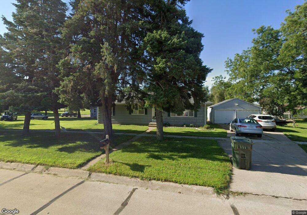
This home is located at 531 W 3rd St, Wahoo, NE 68066 and is currently estimated at $274,509, approximately $124 per square foot. 531 W 3rd St is a home located in Saunders County with nearby schools including Wahoo Elementary School, Wahoo Middle School, and Wahoo High School.
Ownership History
Date
Name
Owned For
Owner Type
Purchase Details
Closed on
Oct 14, 2021
Sold by
Haston Mark A
Bought by
Haston Mark A and Gamble Rachelle K
Current Estimated Value
Purchase Details
Closed on
Oct 7, 2011
Sold by
Malousek Denise and Bartek Revocable Trust U/T/A
Bought by
Haston Mark A
Purchase Details
Closed on
Sep 23, 2011
Sold by
Malousek Denise and Bartek Revocable Trust U/T/A
Bought by
Haston Mark A
Create a Home Valuation Report for This Property
The Home Valuation Report is an in-depth analysis detailing your home's value as well as a comparison with similar homes in the area
Home Values in the Area
Average Home Value in this Area
Purchase History
| Date | Buyer | Sale Price | Title Company |
|---|---|---|---|
| Haston Mark A | -- | None Listed On Document | |
| Haston Mark A | -- | -- | |
| Haston Mark A | -- | -- |
Source: Public Records
Mortgage History
| Date | Status | Borrower | Loan Amount |
|---|---|---|---|
| Previous Owner | Haston Mark A | $0 |
Source: Public Records
Tax History Compared to Growth
Tax History
| Year | Tax Paid | Tax Assessment Tax Assessment Total Assessment is a certain percentage of the fair market value that is determined by local assessors to be the total taxable value of land and additions on the property. | Land | Improvement |
|---|---|---|---|---|
| 2024 | $2,531 | $187,160 | $34,581 | $152,579 |
| 2023 | $3,183 | $181,853 | $34,581 | $147,272 |
| 2022 | $3,163 | $168,617 | $34,581 | $134,036 |
| 2021 | $2,808 | $145,630 | $34,581 | $111,049 |
| 2020 | $2,756 | $142,014 | $34,581 | $107,433 |
| 2019 | $2,737 | $137,882 | $34,581 | $103,301 |
| 2018 | $2,819 | $136,030 | $34,580 | $101,450 |
| 2017 | $2,811 | $136,030 | $34,580 | $101,450 |
| 2016 | $2,000 | $95,390 | $31,340 | $64,050 |
| 2015 | $2,015 | $95,390 | $31,340 | $64,050 |
| 2014 | $2,050 | $95,390 | $31,340 | $64,050 |
| 2012 | $2,170 | $95,390 | $31,340 | $64,050 |
Source: Public Records
Map
Nearby Homes
- 649 W 2nd St
- 453 W 4th St
- 453 W 7th St
- 758 W Park Cir
- 243 S Linden St
- 878 W 8th St
- 565 W 10th St
- 720 W 10th St
- 1039 N Laurel St
- 327 E 7th St
- 1530 Highway 77 Unit 4.55 Ac.
- 122 E 10th St
- 30 Acres NW County Road 19 & Q
- 26.26 Acres NW 19th & County Road Q
- 1365 N Chestnut St
- 820 W 15th St
- 651 W 16th St
- 1561 N Linden St
- 428 E 14th St
- 1273 Spruce St