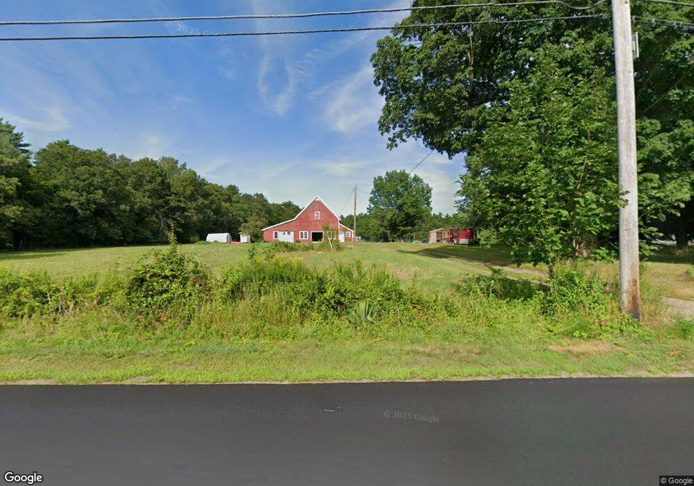
531 W Washington St Hanson, MA 02341
Estimated Value: $1,083,000 - $1,571,000
6
Beds
4
Baths
4,840
Sq Ft
$265/Sq Ft
Est. Value
About This Home
This home is located at 531 W Washington St, Hanson, MA 02341 and is currently estimated at $1,280,500, approximately $264 per square foot. 531 W Washington St is a home located in Plymouth County.
Ownership History
Date
Name
Owned For
Owner Type
Purchase Details
Closed on
Oct 29, 2018
Sold by
Norris John A and Norris Kathleen M
Bought by
Norris John A
Current Estimated Value
Purchase Details
Closed on
Nov 6, 2000
Sold by
Cranberry Rt and Correa Donald J
Bought by
Goscon Inc
Create a Home Valuation Report for This Property
The Home Valuation Report is an in-depth analysis detailing your home's value as well as a comparison with similar homes in the area
Home Values in the Area
Average Home Value in this Area
Purchase History
| Date | Buyer | Sale Price | Title Company |
|---|---|---|---|
| Norris John A | $910,000 | -- | |
| Goscon Inc | $150,000 | -- | |
| Goscon Inc | $150,000 | -- |
Source: Public Records
Mortgage History
| Date | Status | Borrower | Loan Amount |
|---|---|---|---|
| Previous Owner | Goscon Inc | $185,000 |
Source: Public Records
Tax History Compared to Growth
Tax History
| Year | Tax Paid | Tax Assessment Tax Assessment Total Assessment is a certain percentage of the fair market value that is determined by local assessors to be the total taxable value of land and additions on the property. | Land | Improvement |
|---|---|---|---|---|
| 2025 | $15,511 | $1,159,300 | $319,200 | $840,100 |
| 2024 | $15,209 | $1,136,700 | $309,900 | $826,800 |
| 2023 | $15,384 | $1,084,900 | $309,900 | $775,000 |
| 2022 | $14,888 | $986,600 | $281,400 | $705,200 |
| 2021 | $13,672 | $905,400 | $271,200 | $634,200 |
| 2020 | $13,491 | $883,500 | $261,800 | $621,700 |
| 2019 | $11,248 | $724,300 | $257,600 | $466,700 |
| 2018 | $11,032 | $696,900 | $247,800 | $449,100 |
| 2017 | $10,715 | $670,500 | $235,600 | $434,900 |
| 2016 | $10,895 | $658,300 | $235,600 | $422,700 |
| 2015 | $10,229 | $642,500 | $235,600 | $406,900 |
Source: Public Records
Map
Nearby Homes
- 255 Holmes St
- 33 Tavern Way
- Lot 5 Princeton Way
- Lot 2 Harvard Rd
- Lot 6 Way
- 57 Liberty St
- 168 Spring St
- 417 Birchbark Dr
- 126-130 Franklin St
- 842 Whitman St
- 248 E Washington St
- 26 Franklin St
- 1057 Whitman St
- 80 Phillips St
- 1754 Central St
- 72 Phillips St
- 1139 Main St Unit 4
- 22 Howland Trail Unit 34
- 418 E Washington St
- 8 Hayford Trail Unit 19
- 509 W Washington St
- 105 County Rd
- 125 County Rd
- 585 W Washington St
- 517 W Washington St
- 13 Pennsylvania Ave
- 593 W Washington St
- 82 Pennsylvania Ave
- 82 County Rd
- 100 Pennsylvania Ave
- 60 Pennsylvania Ave
- 124 Pennsylvania Ave
- 96 County Rd
- 544 W Washington St
- 46 County Rd
- 580 W Washington St
- 530 W Washington St
- 520 W Washington St
- 600 W Washington St
- 625 W Washington St