5310 Fern Dr Unit Bldg-Unit Fenton, MI 48430
Estimated Value: $451,000 - $489,954
3
Beds
4
Baths
1,592
Sq Ft
$291/Sq Ft
Est. Value
About This Home
This home is located at 5310 Fern Dr Unit Bldg-Unit, Fenton, MI 48430 and is currently estimated at $463,489, approximately $291 per square foot. 5310 Fern Dr Unit Bldg-Unit is a home located in Livingston County with nearby schools including Hartland High School.
Ownership History
Date
Name
Owned For
Owner Type
Purchase Details
Closed on
Oct 17, 2024
Sold by
Prisk Landon T and Prisk Lauren T
Bought by
Reese Mitchell and Birchmeier Casey
Current Estimated Value
Purchase Details
Closed on
Jul 24, 2018
Sold by
Mika Paul L and Mika Katherine L
Bought by
Prisk Landon and Prisk Lauren
Home Financials for this Owner
Home Financials are based on the most recent Mortgage that was taken out on this home.
Original Mortgage
$231,200
Interest Rate
4.5%
Mortgage Type
New Conventional
Purchase Details
Closed on
Jul 19, 2018
Sold by
Mika Paul L and Mika Katherine L
Bought by
Prisk Landon and Prisk Lauren
Home Financials for this Owner
Home Financials are based on the most recent Mortgage that was taken out on this home.
Original Mortgage
$231,200
Interest Rate
4.5%
Mortgage Type
New Conventional
Purchase Details
Closed on
Mar 15, 2017
Sold by
Knapp James and Knapp Deborah
Bought by
Mika Paul and Mika Katherine L
Create a Home Valuation Report for This Property
The Home Valuation Report is an in-depth analysis detailing your home's value as well as a comparison with similar homes in the area
Home Values in the Area
Average Home Value in this Area
Purchase History
| Date | Buyer | Sale Price | Title Company |
|---|---|---|---|
| Reese Mitchell | $420,000 | Title One | |
| Prisk Landon | $289,000 | New Title Company Name | |
| Prisk Landon | $289,000 | New Title Company Name | |
| Mika Paul | $27,000 | None Available |
Source: Public Records
Mortgage History
| Date | Status | Borrower | Loan Amount |
|---|---|---|---|
| Previous Owner | Prisk Landon | $231,200 |
Source: Public Records
Tax History Compared to Growth
Tax History
| Year | Tax Paid | Tax Assessment Tax Assessment Total Assessment is a certain percentage of the fair market value that is determined by local assessors to be the total taxable value of land and additions on the property. | Land | Improvement |
|---|---|---|---|---|
| 2025 | $5,001 | $216,800 | $0 | $0 |
| 2024 | $2,217 | $210,700 | $0 | $0 |
| 2023 | $2,119 | $188,700 | $0 | $0 |
| 2022 | $3,805 | $137,100 | $0 | $0 |
| 2021 | $3,805 | $165,800 | $0 | $0 |
| 2020 | $3,805 | $137,100 | $0 | $0 |
| 2019 | $3,558 | $130,000 | $0 | $0 |
| 2018 | $3,893 | $84,600 | $0 | $0 |
| 2017 | $130 | $18,600 | $0 | $0 |
| 2016 | $129 | $18,000 | $0 | $0 |
| 2014 | $66 | $16,200 | $0 | $0 |
| 2012 | $66 | $17,500 | $0 | $0 |
Source: Public Records
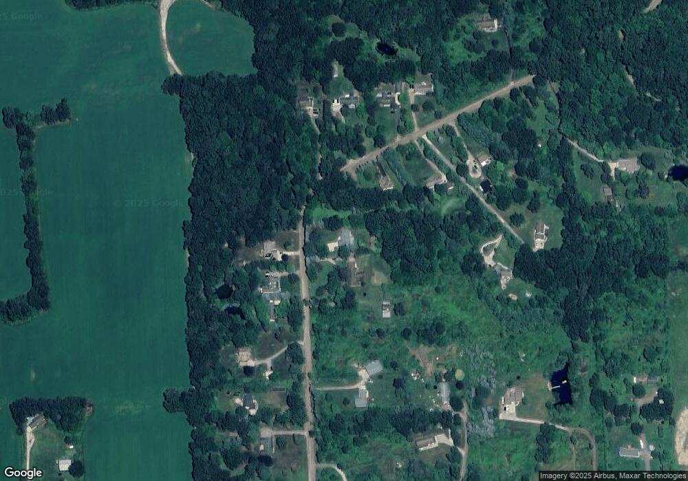
Map
Nearby Homes
- 7741 Clyde Rd
- 7739 Clyde Rd
- 7753 Clyde Rd
- 7687 Parshallville Rd
- V/L Parshallville Rd
- 7670 Parshallville Rd
- 7680 Parshallville Rd
- 6300 Hazard Rd
- 6140 Mcguire Rd
- 8425 Parshallville Rd
- V/L Argentine Rd
- 8899 Dwyer Rd
- 5226 Pleasant Hill Dr
- 8373 Riverwalk Dr
- 3738 Cullen Rd
- 9680 Townsquare Blvd
- 9757 Townsquare Blvd
- 6278 Princess Blvd
- 6195 Andora Ave
- 6418 Apple Way