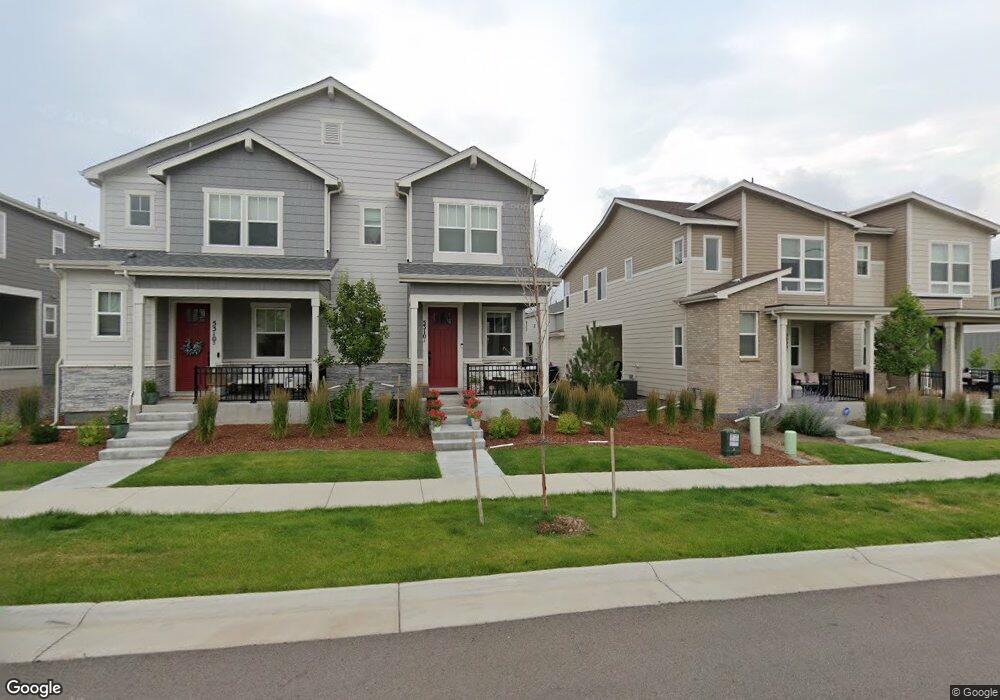
5310 Routt Ct Unit A Arvada, CO 80002
Appleridge Estates NeighborhoodEstimated Value: $549,000 - $673,310
3
Beds
3
Baths
1,475
Sq Ft
$400/Sq Ft
Est. Value
About This Home
This home is located at 5310 Routt Ct Unit A, Arvada, CO 80002 and is currently estimated at $589,828, approximately $399 per square foot. 5310 Routt Ct Unit A is a home located in Jefferson County with nearby schools including Vanderhoof Elementary School, Drake Junior High School, and Arvada West High School.
Ownership History
Date
Name
Owned For
Owner Type
Purchase Details
Closed on
Aug 13, 2024
Sold by
Winge Kaitlyn J
Bought by
Winge Kaitlyn
Current Estimated Value
Home Financials for this Owner
Home Financials are based on the most recent Mortgage that was taken out on this home.
Original Mortgage
$525,326
Outstanding Balance
$519,472
Interest Rate
6.95%
Mortgage Type
New Conventional
Estimated Equity
$70,356
Purchase Details
Closed on
Jun 5, 2023
Sold by
Richmond American Homes Of Colorado Inc
Bought by
Winge Kaitlyn J
Home Financials for this Owner
Home Financials are based on the most recent Mortgage that was taken out on this home.
Original Mortgage
$530,214
Interest Rate
6.39%
Mortgage Type
New Conventional
Create a Home Valuation Report for This Property
The Home Valuation Report is an in-depth analysis detailing your home's value as well as a comparison with similar homes in the area
Home Values in the Area
Average Home Value in this Area
Purchase History
| Date | Buyer | Sale Price | Title Company |
|---|---|---|---|
| Winge Kaitlyn | -- | None Listed On Document | |
| Winge Kaitlyn J | $558,100 | None Listed On Document |
Source: Public Records
Mortgage History
| Date | Status | Borrower | Loan Amount |
|---|---|---|---|
| Open | Winge Kaitlyn | $525,326 | |
| Previous Owner | Winge Kaitlyn J | $530,214 |
Source: Public Records
Tax History Compared to Growth
Tax History
| Year | Tax Paid | Tax Assessment Tax Assessment Total Assessment is a certain percentage of the fair market value that is determined by local assessors to be the total taxable value of land and additions on the property. | Land | Improvement |
|---|---|---|---|---|
| 2024 | $1,993 | $34,536 | $8,465 | $26,071 |
| 2023 | $1,993 | $11,441 | $8,465 | $2,976 |
| 2022 | $2,751 | $16,516 | $16,516 | $0 |
| 2021 | $1,882 | $11,010 | $11,010 | $0 |
| 2020 | $754 | $4,455 | $4,455 | $0 |
Source: Public Records
Map
Nearby Homes
- 5240 Routt Ct Unit B
- Haskins Station Plan at Haskins Station
- Plan 133 at Haskins Station
- Plan 132 at Haskins Station
- Plan 122 at Haskins Station
- Plan 123 at Haskins Station
- 5182 Rob Way
- 11205 W 53rd Ln
- 5293 Quail Way
- 11201 W 53rd Dr
- 5368 Quail St
- 5387 Pierson Ct
- 5154 Taft Ct
- 12081 W 54th Ave
- 11873 W 56th Cir
- 11237 W 55th Ln
- 5173 Vivian St
- 12320 W 51st Ave
- 5188 Ward Rd
- 5160 Ward Rd
- 5310 Routt Ct Unit B
- 5310 Routt Ct
- 5300 Routt Ct
- 5300 Routt Ct Unit B
- 5320 Routt Ct Unit B
- 5318 Routt St Unit B
- 5318 Routt St Unit A
- 5340 Routt Ct Unit B
- 5308 Routt Ct Unit B
- 5301 Routt Ct
- 5290 Routt Ct Unit B
- 5290 Routt Ct Unit A
- 5311 Routt Ct
- 5321 Routt Ct
- 5358 Routt St Unit B
- 5350 Routt Ct Unit B
- 5288 Routt St Unit B
- 5288 Routt St Unit A
- 5291 Routt Ct
- 5368 Routt Ct Unit A