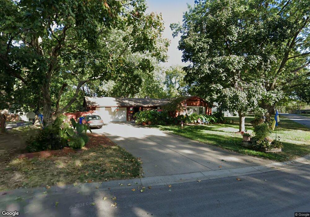
5311 Barton Dr Shawnee, KS 66203
Shawnee AreaEstimated Value: $328,000 - $355,007
About This Home
This home is located at 5311 Barton Dr, Shawnee, KS 66203 and is currently estimated at $342,252, approximately $264 per square foot. 5311 Barton Dr is a home located in Johnson County with nearby schools including Bluejacket / Flint Elementary, Hocker Grove Middle School, and Shawnee Mission North High School.
Ownership History
We collect this data history from publicly available records. To have your information removed, we recommend requesting removal directly through your county’s website.
Purchase Details
Home Financials for this Owner
Home Financials are based on the most recent Mortgage that was taken out on this home.Home Values in the Area
Average Home Value in this Area
Purchase History
We collect this data history from publicly available records. To have your information removed, we recommend requesting removal directly through your county’s website.
| Date | Buyer | Sale Price | Title Company |
|---|---|---|---|
| -- | First Ameican Title Ins Co |
Mortgage History
We collect this data history from publicly available records. To have your information removed, we recommend requesting removal directly through your county’s website.
| Date | Status | Borrower | Loan Amount |
|---|---|---|---|
| Open | $159,864 |
Tax History
We collect this data history from publicly available records. To have your information removed, we recommend requesting removal directly through your county’s website.
| Year | Tax Paid | Tax Assessment Tax Assessment Total Assessment is a certain percentage of the fair market value that is determined by local assessors to be the total taxable value of land and additions on the property. | Land | Improvement |
|---|---|---|---|---|
| 2025 | $3,916 | $37,306 | $6,033 | $31,273 |
| 2024 | $3,656 | $34,673 | $6,033 | $28,640 |
| 2023 | $3,751 | $35,006 | $5,482 | $29,524 |
| 2022 | $3,071 | $28,578 | $4,981 | $23,597 |
| 2021 | $2,964 | $25,806 | $4,332 | $21,474 |
| 2020 | $2,843 | $24,426 | $3,940 | $20,486 |
| 2019 | $2,731 | $23,437 | $3,757 | $19,680 |
| 2018 | $2,305 | $21,401 | $3,757 | $17,644 |
| 2017 | $2,377 | $19,987 | $3,414 | $16,573 |
| 2016 | $2,315 | $19,216 | $3,414 | $15,802 |
| 2015 | $2,105 | $18,204 | $3,414 | $14,790 |
| 2013 | -- | $16,801 | $3,414 | $13,387 |
Map
- 5228 Nieman Rd
- 5302 Flint St
- 11200 W 51st Terrace
- 11204 W 51st Terrace
- 5520 Barton Ln
- 5223 Cody St
- 11614 Mcanany Dr
- 11719 W 54th St
- 4900 Ballentine St
- 5335 Halsey St
- 10511 W 49th Place
- 5526 Stearns St
- 11920 W 51st St
- 5628 Melrose Ln
- 10214 W 56th St
- 11925 W 49th Terrace
- 10021 W 52nd St
- 5742 Garnett St
- 5145 Long Dr
- 12011 W 49th St
- 5305 Barton Dr
- 5306 Nieman Rd
- 5247 Barton Dr
- 5318 Mcanany Dr
- 5323 Mcanany Dr
- 5314 Mcanany Dr
- 5246 Nieman Rd
- 5324 Nieman Rd
- 5239 Barton Dr
- 5310 Mcanany Dr
- 5317 Mcanany Dr
- 5240 Barton Dr
- 11120 W 54th St
- 5238 Nieman Rd
- 5233 Barton Dr
- 11104 W 54th St
- 11202 W 54th St
- 5234 Barton Dr
- 11013 W 53rd St
- 5234 Nieman Rd
Ask me questions while you tour the home.