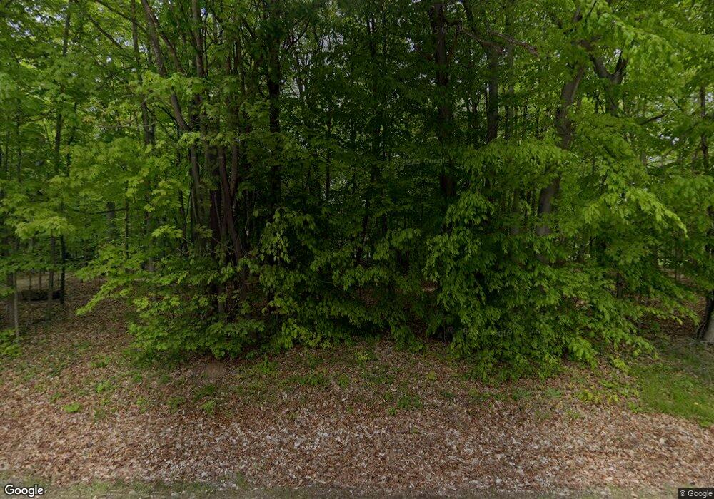
5311 Duffield Rd Flushing, MI 48433
Estimated Value: $332,000 - $419,000
Studio
--
Bath
2,062
Sq Ft
$181/Sq Ft
Est. Value
About This Home
This home is located at 5311 Duffield Rd, Flushing, MI 48433 and is currently estimated at $373,112, approximately $180 per square foot. 5311 Duffield Rd is a home located in Genesee County with nearby schools including Central Elementary School, Flushing Middle School, and Flushing High School.
Ownership History
Date
Name
Owned For
Owner Type
Purchase Details
Closed on
Feb 27, 2002
Sold by
Brewer Jamie R
Bought by
Morrison David and Morrison Alison
Current Estimated Value
Purchase Details
Closed on
Dec 27, 1999
Sold by
Barber Bradley M and Barber Kim M
Bought by
Brewer Jamie R
Home Financials for this Owner
Home Financials are based on the most recent Mortgage that was taken out on this home.
Original Mortgage
$36,400
Interest Rate
7.7%
Mortgage Type
Purchase Money Mortgage
Create a Home Valuation Report for This Property
The Home Valuation Report is an in-depth analysis detailing your home's value as well as a comparison with similar homes in the area
Home Values in the Area
Average Home Value in this Area
Purchase History
| Date | Buyer | Sale Price | Title Company |
|---|---|---|---|
| Morrison David | $52,000 | First American Title Ins Co | |
| Brewer Jamie R | $42,900 | Metropolitan Title Company |
Source: Public Records
Mortgage History
| Date | Status | Borrower | Loan Amount |
|---|---|---|---|
| Previous Owner | Brewer Jamie R | $36,400 |
Source: Public Records
Tax History Compared to Growth
Tax History
| Year | Tax Paid | Tax Assessment Tax Assessment Total Assessment is a certain percentage of the fair market value that is determined by local assessors to be the total taxable value of land and additions on the property. | Land | Improvement |
|---|---|---|---|---|
| 2025 | $4,328 | $190,600 | $0 | $0 |
| 2024 | $2,364 | $183,900 | $0 | $0 |
| 2023 | $2,256 | $171,500 | $0 | $0 |
| 2022 | $3,922 | $154,300 | $0 | $0 |
| 2021 | $3,842 | $143,900 | $0 | $0 |
| 2020 | $2,099 | $136,500 | $0 | $0 |
| 2019 | $2,077 | $123,800 | $0 | $0 |
| 2018 | $3,568 | $105,300 | $0 | $0 |
| 2017 | $1,838 | $105,300 | $0 | $0 |
| 2016 | $3,262 | $103,900 | $0 | $0 |
| 2015 | $3,095 | $102,600 | $0 | $0 |
| 2014 | $1,809 | $97,600 | $0 | $0 |
| 2012 | -- | $97,900 | $97,900 | $0 |
Source: Public Records
Map
Nearby Homes
- 11358 W Carpenter Rd Rd
- 11186 W Stanley Rd
- 4121 Sheridan Rd
- 10101 Carpenter Rd
- 9493 Pine Needle Trail
- 5315 Chickasaw Trail
- 8073 Nichols Rd
- 9207 N Island Ct Unit 12
- 3470 Longmeadow Dr
- 219 Primrose Ln
- 0 N Island Dr Unit 20230029447
- 9585 Henderson Rd
- 9031 N Island Dr Unit 29
- 315 N Maple St
- 227 Emily St
- 8474 Wesley Dr
- 8520 Apple Blossom Ln
- 309 Arthur St
- 8425 Duffield Rd
- 6355 N Mckinley Rd
- 5321 Duffield Rd
- 5295 Duffield Rd
- 5279 Duffield Rd
- 5347 Duffield Rd
- 5335 Duffield Rd
- 5377 Duffield Rd
- 5361 Duffield Rd
- 5395 Duffield Rd
- 5411 Duffield Rd
- 5423 Duffield Rd
- 5435 Duffield Rd
- 5320 Duffield Rd
- 5294 Duffield Rd
- 5336 Duffield Rd
- 5447 Duffield Rd
- 5254 Duffield Rd
- 5366 Duffield Rd
- 12069 Coldwater Rd
- 12069 Coldwater Rd
- 12111 Coldwater Rd
