5311 SE Burning Tree Cir Stuart, FL 34997
Estimated Value: $675,000 - $893,000
3
Beds
3
Baths
2,803
Sq Ft
$288/Sq Ft
Est. Value
About This Home
This home is located at 5311 SE Burning Tree Cir, Stuart, FL 34997 and is currently estimated at $806,327, approximately $287 per square foot. 5311 SE Burning Tree Cir is a home located in Martin County with nearby schools including Sea Wind Elementary School, Murray Middle School, and South Fork High School.
Ownership History
Date
Name
Owned For
Owner Type
Purchase Details
Closed on
Oct 15, 2025
Sold by
Delponti John D
Bought by
John D Del Ponti Revocable Trust and Del Ponti
Current Estimated Value
Purchase Details
Closed on
Jun 17, 2004
Sold by
Mania John and Mania Joan
Bought by
Delponti John D and Delponti Michelle J
Home Financials for this Owner
Home Financials are based on the most recent Mortgage that was taken out on this home.
Original Mortgage
$170,000
Interest Rate
5.5%
Mortgage Type
Unknown
Purchase Details
Closed on
May 19, 2000
Sold by
Bonnie R Spurling Tr
Bought by
Mania John and Mania Joan
Purchase Details
Closed on
Dec 5, 1997
Sold by
Spurling Bonnie R
Bought by
Spurling Bonnie R
Create a Home Valuation Report for This Property
The Home Valuation Report is an in-depth analysis detailing your home's value as well as a comparison with similar homes in the area
Home Values in the Area
Average Home Value in this Area
Purchase History
| Date | Buyer | Sale Price | Title Company |
|---|---|---|---|
| John D Del Ponti Revocable Trust | $100 | None Listed On Document | |
| Delponti John D | $372,000 | Universal Land Title Inc | |
| Mania John | $220,000 | -- | |
| Spurling Bonnie R | $100 | -- | |
| Spurling Bonnie R | $100 | -- |
Source: Public Records
Mortgage History
| Date | Status | Borrower | Loan Amount |
|---|---|---|---|
| Previous Owner | Delponti John D | $170,000 |
Source: Public Records
Tax History
| Year | Tax Paid | Tax Assessment Tax Assessment Total Assessment is a certain percentage of the fair market value that is determined by local assessors to be the total taxable value of land and additions on the property. | Land | Improvement |
|---|---|---|---|---|
| 2025 | $5,122 | $335,717 | -- | -- |
| 2024 | $5,018 | $326,256 | -- | -- |
| 2023 | $5,018 | $316,754 | $0 | $0 |
| 2022 | $4,840 | $307,529 | $0 | $0 |
| 2021 | $4,849 | $298,572 | $0 | $0 |
| 2020 | $4,742 | $294,450 | $140,000 | $154,450 |
| 2019 | $5,374 | $328,064 | $0 | $0 |
| 2018 | $5,242 | $321,947 | $0 | $0 |
| 2017 | $4,626 | $315,325 | $0 | $0 |
| 2016 | $4,876 | $308,840 | $135,000 | $173,840 |
| 2015 | $4,937 | $323,830 | $145,000 | $178,830 |
| 2014 | $4,937 | $322,790 | $150,000 | $172,790 |
Source: Public Records
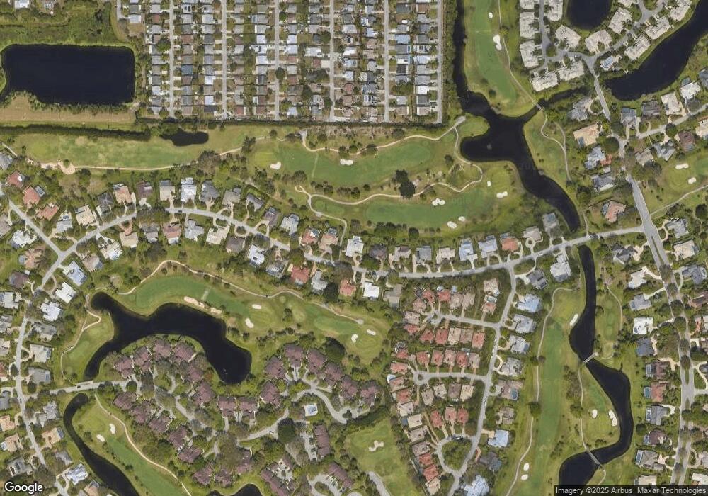
Map
Nearby Homes
- 5361 SE Merion Way
- 5311 SE Brandywine Way Unit 28
- 5402 SE Meredith Terrace
- 5382 SE Meredith Terrace
- 5220 SE Burning Tree Cir
- 6384 SE Ironwood Cir
- 5011 SE Brandywine Way
- 5071 SE Brandywine Way Unit 8
- 6433 SE Brandywine Ct Unit 219
- 5929 SE Collins Ave
- 6403 SE Brandywine Ct Unit 223
- 6404 SE Brandywine Ct Unit 104
- 5879 SE Wilsie Dr
- 5662 SE Foxcross Place Unit 5662
- 5661 SE Foxcross Place
- 5610 SE Winged Foot Dr
- 5627 SE Foxcross Place
- 6061 SE Medinah Ln
- 5785 SE Collins Ave
- 5253 SE Club Way
- 5321 SE Burning Tree Cir
- 5310 SE Burning Tree Cir
- 5331 SE Burning Tree Cir
- 5320 SE Burning Tree Cir
- 5291 SE Burning Tree Cir
- 5300 SE Burning Tree Cir
- 5330 SE Burning Tree Cir
- 5290 SE Burning Tree Cir
- 5341 SE Burning Tree Cir
- 5281 SE Burning Tree Cir
- 5280 SE Burning Tree Cir
- 5371 SE Merion Way
- 5351 SE Burning Tree Cir
- 5271 SE Burning Tree Cir
- 5360 SE Merion Way
- 5270 SE Burning Tree Cir
- 5370 SE Merion Way
- 5361 SE Burning Tree Cir
- 5391 SE Merion Way
- 5380 SE Merion Way
Your Personal Tour Guide
Ask me questions while you tour the home.