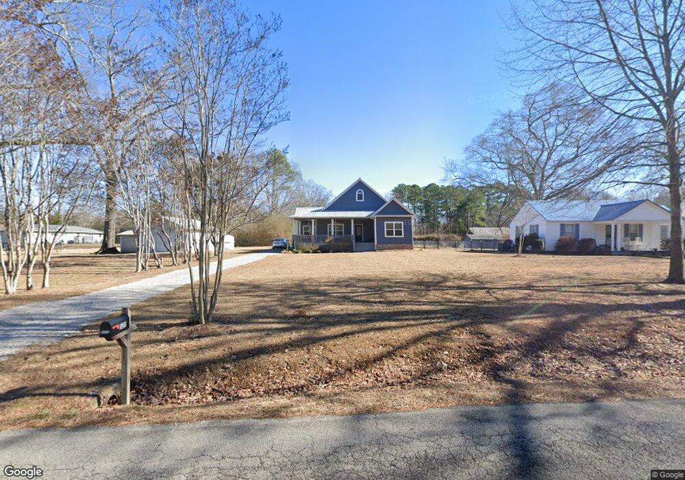
5311 Sutherland Rd Mount Olive, AL 35117
Estimated Value: $267,000 - $342,257
2
Beds
2
Baths
1,957
Sq Ft
$158/Sq Ft
Est. Value
About This Home
This home is located at 5311 Sutherland Rd, Mount Olive, AL 35117 and is currently estimated at $309,564, approximately $158 per square foot. 5311 Sutherland Rd is a home located in Jefferson County with nearby schools including Mt. Olive Elementary School, Bragg Middle School, and Gardendale High School.
Ownership History
Date
Name
Owned For
Owner Type
Purchase Details
Closed on
Dec 12, 2018
Sold by
Fry Terry
Bought by
Smith A Lamar and Smith Rhonda D
Current Estimated Value
Home Financials for this Owner
Home Financials are based on the most recent Mortgage that was taken out on this home.
Original Mortgage
$188,000
Outstanding Balance
$140,017
Interest Rate
4.9%
Mortgage Type
New Conventional
Estimated Equity
$169,547
Purchase Details
Closed on
Aug 10, 2000
Sold by
Belcher Johnny A and Belcher Susan C
Bought by
Fry Terry and Fry Judy
Purchase Details
Closed on
Dec 16, 1999
Sold by
Dial Jody B and Dial Joni
Bought by
Belcher Johnny A and Belcher Susan C
Purchase Details
Closed on
Dec 15, 1998
Sold by
Dial Ted Curtis
Bought by
Dial Jody B and Dial Joni
Create a Home Valuation Report for This Property
The Home Valuation Report is an in-depth analysis detailing your home's value as well as a comparison with similar homes in the area
Home Values in the Area
Average Home Value in this Area
Purchase History
| Date | Buyer | Sale Price | Title Company |
|---|---|---|---|
| Smith A Lamar | $235,000 | -- | |
| Fry Terry | $28,000 | -- | |
| Belcher Johnny A | -- | -- | |
| Dial Jody B | -- | -- |
Source: Public Records
Mortgage History
| Date | Status | Borrower | Loan Amount |
|---|---|---|---|
| Open | Smith A Lamar | $188,000 |
Source: Public Records
Tax History
| Year | Tax Paid | Tax Assessment Tax Assessment Total Assessment is a certain percentage of the fair market value that is determined by local assessors to be the total taxable value of land and additions on the property. | Land | Improvement |
|---|---|---|---|---|
| 2024 | $1,312 | $32,900 | -- | -- |
| 2022 | $1,312 | $30,710 | $5,300 | $25,410 |
| 2021 | $1,122 | $23,450 | $5,300 | $18,150 |
| 2020 | $2,350 | $23,450 | $5,300 | $18,150 |
| 2019 | $1,825 | $36,420 | $0 | $0 |
| 2018 | $1,665 | $33,240 | $0 | $0 |
| 2017 | $184 | $3,680 | $0 | $0 |
| 2016 | $184 | $3,680 | $0 | $0 |
| 2015 | $184 | $3,680 | $0 | $0 |
| 2014 | $240 | $3,680 | $0 | $0 |
| 2013 | $240 | $3,680 | $0 | $0 |
Source: Public Records
Map
Nearby Homes
- 372 Oakhurst St
- 475 Springdale Rd
- 5224 Elm Rd
- 331 Oakhurst St
- 2700 Mount Olive Rd
- 5113 Biddle Cir
- 2575 Mount Olive Rd
- 5190 Memory Ln
- 971 Westwood Rd
- 5551 Shady Grove Rd
- 5628 Boling Rd
- 5632 Mckinney Rd
- 5648 Boling Rd
- 671 Longwood Place
- 2901 Mount Olive Rd
- 2270 and 2274 Mount Olive Rd
- 2936 Mount Olive Rd
- 4710 Thornhill Rd
- 2945 Mount Olive Rd
- 5473 Newfound Rd
- 5301 Sutherland Rd
- 5291 Sutherland Rd
- 600 Springdale Rd
- 5335 Sutherland Rd
- 616 Springdale Rd
- 5300 Sutherland Rd
- 5326 Sutherland Rd
- 5277 Sutherland Rd
- 5342 Sutherland Rd
- 5285 Sutherland Rd
- 5281 Sutherland Rd
- 5400 Powers Rd
- 617 Springdale Rd
- 566 Springdale Rd
- 593 Springdale Rd
- 740 Woodridge Trail
- 5361 Sutherland Rd
- 587 Springdale Rd
- 5271 Sutherland Rd
- 5416 Powers Rd
Your Personal Tour Guide
Ask me questions while you tour the home.