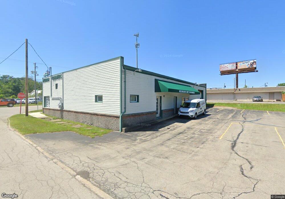
5313 5315 Market St Boardman, OH 44512
Estimated Value: $340,608
--
Bed
--
Bath
3,744
Sq Ft
$91/Sq Ft
Est. Value
About This Home
This home is located at 5313 5315 Market St, Boardman, OH 44512 and is currently estimated at $340,608, approximately $90 per square foot. 5313 5315 Market St is a home located in Mahoning County with nearby schools including Boardman Glenwood Junior High School, Boardman High School, and Horizon Science Academy - Youngstown.
Ownership History
Date
Name
Owned For
Owner Type
Purchase Details
Closed on
Sep 21, 2000
Sold by
John Martoia
Bought by
Lee Duk S and Lee Young S
Current Estimated Value
Home Financials for this Owner
Home Financials are based on the most recent Mortgage that was taken out on this home.
Original Mortgage
$50,000
Outstanding Balance
$18,159
Interest Rate
8.05%
Mortgage Type
Commercial
Estimated Equity
$322,449
Purchase Details
Closed on
Mar 30, 1993
Bought by
Martoia John
Create a Home Valuation Report for This Property
The Home Valuation Report is an in-depth analysis detailing your home's value as well as a comparison with similar homes in the area
Home Values in the Area
Average Home Value in this Area
Purchase History
| Date | Buyer | Sale Price | Title Company |
|---|---|---|---|
| Lee Duk S | $157,500 | Midland Title | |
| Martoia John | $154,800 | -- |
Source: Public Records
Mortgage History
| Date | Status | Borrower | Loan Amount |
|---|---|---|---|
| Open | Lee Duk S | $50,000 |
Source: Public Records
Tax History Compared to Growth
Tax History
| Year | Tax Paid | Tax Assessment Tax Assessment Total Assessment is a certain percentage of the fair market value that is determined by local assessors to be the total taxable value of land and additions on the property. | Land | Improvement |
|---|---|---|---|---|
| 2024 | $2,620 | $36,870 | $7,110 | $29,760 |
| 2023 | $2,581 | $36,870 | $7,110 | $29,760 |
| 2022 | $2,222 | $27,140 | $5,680 | $21,460 |
| 2021 | $2,232 | $27,140 | $5,680 | $21,460 |
| 2020 | $2,244 | $27,140 | $5,680 | $21,460 |
| 2019 | $2,323 | $27,140 | $5,680 | $21,460 |
| 2018 | $2,047 | $27,140 | $5,680 | $21,460 |
| 2017 | $2,181 | $27,140 | $5,680 | $21,460 |
| 2016 | $2,338 | $31,450 | $8,530 | $22,920 |
| 2015 | $2,280 | $31,450 | $8,530 | $22,920 |
| 2014 | $2,278 | $31,450 | $8,530 | $22,920 |
| 2013 | $2,253 | $31,450 | $8,530 | $22,920 |
Source: Public Records
Map
Nearby Homes
- 81 Melrose Ave
- 127 Melrose Ave
- 44 Gertrude Ave
- 28 Terrace Dr
- 149 Argyle Ave
- 169 Wolcott Dr
- 167 Afton Ave
- 5020 Friendship Ave
- 83 Beechwood Dr
- 272 Shields Rd
- 175 Homestead Dr
- 94 Beechwood Dr
- 235 Wolcott Dr
- 60 Shadyside Dr
- 148 Clifton Dr
- 94 Shadyside Dr
- 4508 Southern Blvd
- 4504 Southern Blvd
- 30 Pinehurst Ave
- 197 Mathews Rd Unit B