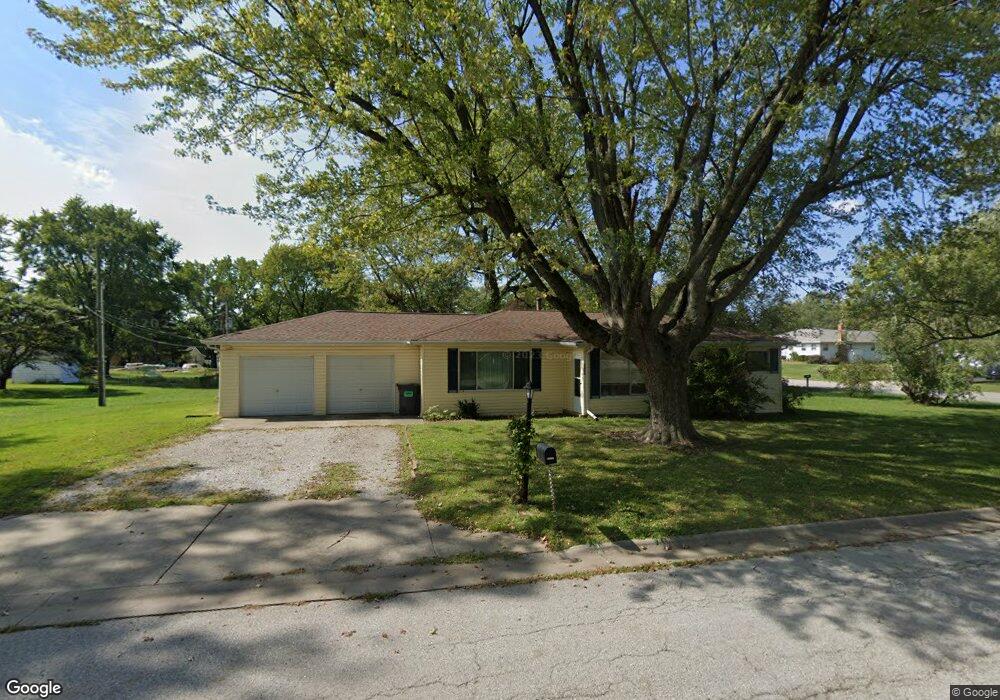
5313 Pontiac Dr Fairview Heights, IL 62208
Estimated Value: $150,835 - $175,000
--
Bed
--
Bath
1,209
Sq Ft
$134/Sq Ft
Est. Value
About This Home
This home is located at 5313 Pontiac Dr, Fairview Heights, IL 62208 and is currently estimated at $162,459, approximately $134 per square foot. 5313 Pontiac Dr is a home located in St. Clair County with nearby schools including William Holliday Elementary School, Pontiac William Holliday Jr High School, and Holy Trinity Catholic School.
Ownership History
Date
Name
Owned For
Owner Type
Purchase Details
Closed on
Sep 17, 2012
Sold by
Leary Kathryn
Bought by
Stanley Philip F
Current Estimated Value
Home Financials for this Owner
Home Financials are based on the most recent Mortgage that was taken out on this home.
Original Mortgage
$39,275
Outstanding Balance
$27,189
Interest Rate
3.58%
Mortgage Type
FHA
Estimated Equity
$135,270
Create a Home Valuation Report for This Property
The Home Valuation Report is an in-depth analysis detailing your home's value as well as a comparison with similar homes in the area
Home Values in the Area
Average Home Value in this Area
Purchase History
| Date | Buyer | Sale Price | Title Company |
|---|---|---|---|
| Stanley Philip F | $40,000 | Metro East Title Corp |
Source: Public Records
Mortgage History
| Date | Status | Borrower | Loan Amount |
|---|---|---|---|
| Open | Stanley Philip F | $39,275 |
Source: Public Records
Tax History Compared to Growth
Tax History
| Year | Tax Paid | Tax Assessment Tax Assessment Total Assessment is a certain percentage of the fair market value that is determined by local assessors to be the total taxable value of land and additions on the property. | Land | Improvement |
|---|---|---|---|---|
| 2024 | $2,568 | $45,771 | $7,384 | $38,387 |
| 2023 | $2,333 | $40,498 | $6,533 | $33,965 |
| 2022 | $2,010 | $35,149 | $6,403 | $28,746 |
| 2021 | $1,938 | $33,361 | $6,077 | $27,284 |
| 2020 | $1,905 | $31,602 | $5,757 | $25,845 |
| 2019 | $1,825 | $31,602 | $5,757 | $25,845 |
| 2018 | $1,874 | $31,665 | $6,155 | $25,510 |
| 2017 | $1,798 | $30,380 | $5,905 | $24,475 |
| 2016 | $1,782 | $29,694 | $5,772 | $23,922 |
| 2014 | $1,852 | $34,118 | $7,819 | $26,299 |
| 2013 | $1,697 | $34,747 | $7,963 | $26,784 |
Source: Public Records
Map
Nearby Homes
- 112 Lake Stratford Ct
- 18 Elvira Dr
- 113 Lakeland Hills Dr
- 114 Ashland Ave
- 224 Hall Point
- 4906 Lawrence Dr
- 105 Chateau Dr
- 405 Joseph Dr Unit G
- 201 Oxford Ave
- 216 Joseph Dr
- 109 Bourdelais Dr
- 0 Frank Scott Pkwy E
- 103 Joseph Dr
- 4480 Biverton Dr
- 36 Lindenleaf Ln
- 318 Union Hill Rd
- 214 Union Hill Rd
- 13 Joseph Dr
- 201 Big Bend Blvd
- 34 Aubuchon Cir
- 212 Kassing Ave
- 5301 Pontiac Dr
- 112 Kassing Ave
- 209 Linda Dr
- 214 Kassing Ave
- 201 Kassing Ave
- 209 Kassing Ave
- 209 Kassing Ave
- 209 Kassing Ave
- 209 Kassing Ave
- 5300 Bonita Blvd
- 108 Kassing Ave
- 5300 Pontiac Dr
- 5400 Pontiac Dr
- 217 Kassing Ave
- 110 Kassing Ave
- 206 Linda Dr
- 105 Linda Dr
- 202 Linda Dr
- 204 Stites Ave