5314 Loon Nest Ct Apollo Beach, FL 33572
Estimated Value: $753,308 - $1,069,000
4
Beds
3
Baths
3,259
Sq Ft
$280/Sq Ft
Est. Value
About This Home
This home is located at 5314 Loon Nest Ct, Apollo Beach, FL 33572 and is currently estimated at $911,077, approximately $279 per square foot. 5314 Loon Nest Ct is a home with nearby schools including Apollo Beach Elementary School, Eisenhower Middle School, and Lennard High School.
Ownership History
Date
Name
Owned For
Owner Type
Purchase Details
Closed on
Oct 18, 2012
Sold by
Homes By West Bay Llc
Bought by
Shreve Meredith A and Shreve Thomas F
Current Estimated Value
Home Financials for this Owner
Home Financials are based on the most recent Mortgage that was taken out on this home.
Original Mortgage
$150,000
Outstanding Balance
$95,262
Interest Rate
2.12%
Mortgage Type
Adjustable Rate Mortgage/ARM
Estimated Equity
$815,815
Purchase Details
Closed on
Dec 23, 2005
Sold by
Terrabrook Apollo Beach Lp
Bought by
Nohl Crest Homes Corp
Create a Home Valuation Report for This Property
The Home Valuation Report is an in-depth analysis detailing your home's value as well as a comparison with similar homes in the area
Home Values in the Area
Average Home Value in this Area
Purchase History
| Date | Buyer | Sale Price | Title Company |
|---|---|---|---|
| Shreve Meredith A | $429,800 | Hillsborough Title Llc | |
| Nohl Crest Homes Corp | $468,500 | Fuentes & Kreischer Title Co |
Source: Public Records
Mortgage History
| Date | Status | Borrower | Loan Amount |
|---|---|---|---|
| Open | Shreve Meredith A | $150,000 |
Source: Public Records
Tax History
| Year | Tax Paid | Tax Assessment Tax Assessment Total Assessment is a certain percentage of the fair market value that is determined by local assessors to be the total taxable value of land and additions on the property. | Land | Improvement |
|---|---|---|---|---|
| 2025 | $12,381 | $459,403 | -- | -- |
| 2024 | $12,381 | $446,456 | -- | -- |
| 2023 | $12,195 | $433,452 | $0 | $0 |
| 2022 | $12,693 | $420,827 | $0 | $0 |
| 2021 | $12,267 | $408,570 | $0 | $0 |
| 2020 | $12,154 | $402,929 | $0 | $0 |
| 2019 | $10,776 | $393,870 | $0 | $0 |
| 2018 | $10,845 | $386,526 | $0 | $0 |
| 2017 | $10,551 | $393,851 | $0 | $0 |
| 2016 | $10,347 | $396,527 | $0 | $0 |
| 2015 | $10,498 | $393,771 | $0 | $0 |
| 2014 | $10,630 | $390,646 | $0 | $0 |
| 2013 | -- | $428,635 | $0 | $0 |
Source: Public Records
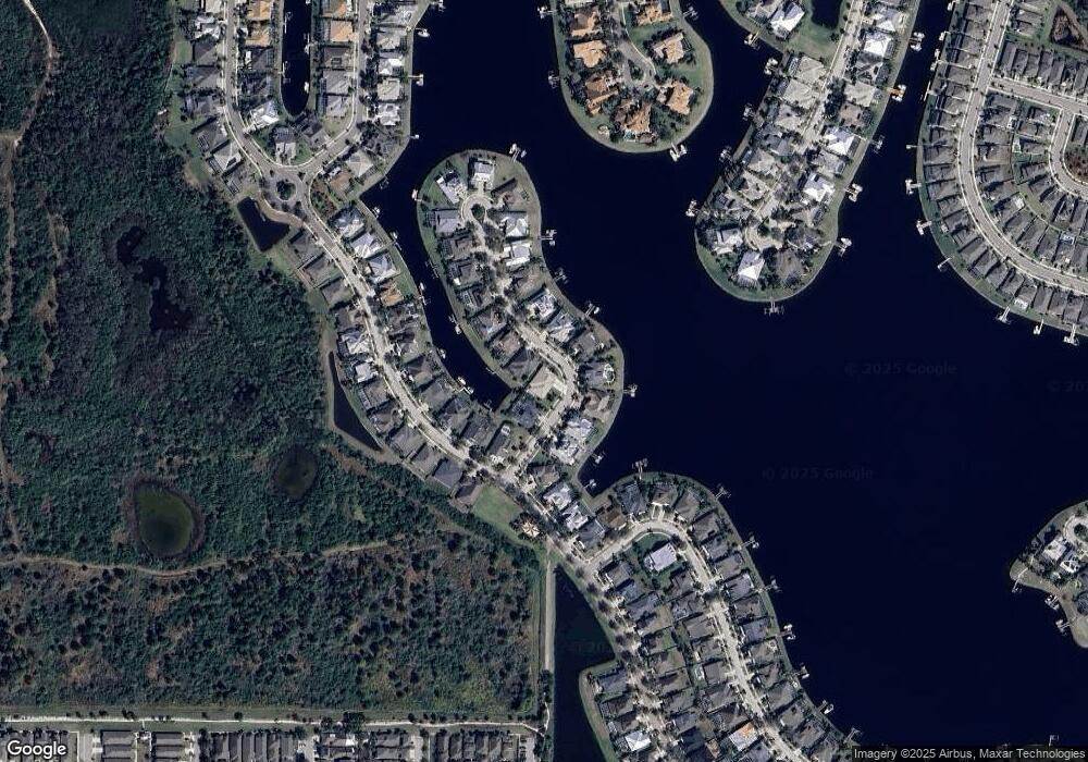
Map
Nearby Homes
- 609 Manns Harbor Dr
- 618 Manns Harbor Dr
- 5328 Loon Nest Ct
- 5252 Brighton Shore Dr
- 5245 Brighton Shore Dr
- 5241 Brighton Shore Dr
- 5408 Tybee Island Dr
- 5405 Tybee Island Dr
- 5240 Brighton Shore Dr
- 5237 Brighton Shore Dr
- 511 Winterside Dr
- 5234 Brighton Shore Dr
- 717 Manns Harbor Dr
- 5307 Wishing Arch Dr
- 5305 Wishing Arch Dr
- 623 Winterside Dr
- 5417 Tybee Island Dr
- 707 Winterside Dr
- 5227 Admiral Pointe Dr
- 5223 Admiral Pointe Dr
- 5306 Loon Nest Ct
- 5318 Loon Nest Ct
- 5315 Loon Nest Ct
- 5309 Loon Nest Ct
- 5311 Loon Nest Ct
- 5313 Loon Nest Ct
- 5307 Loon Nest Ct
- 5320 Loon Nest Ct
- 613 Manns Harbor Dr
- 5319 Loon Nest Ct
- 5305 Loon Nest Ct
- 615 Manns Harbor Dr
- 619 Manns Harbor Dr
- 5321 Loon Nest Ct
- 621 Manns Harbor Dr
- 5322 Loon Nest Ct
- 607 Manns Harbor Dr
- 623 Manns Harbor Dr
- 5325 Loon Nest Ct
- 5324 Loon Nest Ct
Your Personal Tour Guide
Ask me questions while you tour the home.