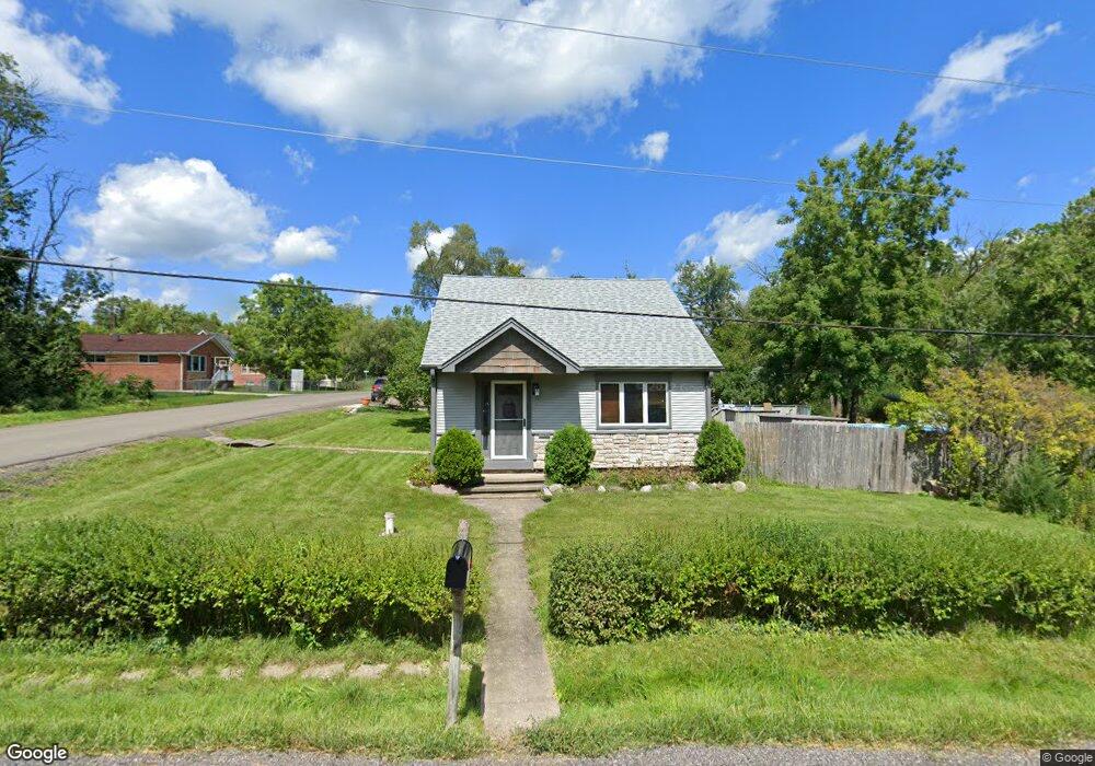
5314 W Westshore Dr McHenry, IL 60050
Estimated Value: $211,769 - $236,000
--
Bed
2
Baths
1,188
Sq Ft
$192/Sq Ft
Est. Value
About This Home
This home is located at 5314 W Westshore Dr, McHenry, IL 60050 and is currently estimated at $227,692, approximately $191 per square foot. 5314 W Westshore Dr is a home located in McHenry County with nearby schools including Valley View Elementary School, Parkland School, and McHenry Community High School - Upper Campus.
Ownership History
Date
Name
Owned For
Owner Type
Purchase Details
Closed on
Jun 23, 2019
Sold by
Cyrier Lawrence A and Cyrier Margaret
Bought by
Buchen Burton and Corrigan Buchen Mary Beth
Current Estimated Value
Home Financials for this Owner
Home Financials are based on the most recent Mortgage that was taken out on this home.
Original Mortgage
$113,600
Outstanding Balance
$99,680
Interest Rate
4%
Mortgage Type
New Conventional
Estimated Equity
$128,012
Create a Home Valuation Report for This Property
The Home Valuation Report is an in-depth analysis detailing your home's value as well as a comparison with similar homes in the area
Home Values in the Area
Average Home Value in this Area
Purchase History
| Date | Buyer | Sale Price | Title Company |
|---|---|---|---|
| Buchen Burton | $142,000 | Wheatland Title Guaranty |
Source: Public Records
Mortgage History
| Date | Status | Borrower | Loan Amount |
|---|---|---|---|
| Open | Buchen Burton | $113,600 |
Source: Public Records
Tax History Compared to Growth
Tax History
| Year | Tax Paid | Tax Assessment Tax Assessment Total Assessment is a certain percentage of the fair market value that is determined by local assessors to be the total taxable value of land and additions on the property. | Land | Improvement |
|---|---|---|---|---|
| 2024 | $4,327 | $54,096 | $5,209 | $48,887 |
| 2023 | $4,227 | $48,465 | $4,667 | $43,798 |
| 2022 | $4,021 | $44,963 | $4,330 | $40,633 |
| 2021 | $3,843 | $41,872 | $4,032 | $37,840 |
| 2020 | $3,331 | $35,891 | $3,864 | $32,027 |
| 2019 | $2,711 | $34,081 | $3,669 | $30,412 |
| 2018 | $2,785 | $32,536 | $3,503 | $29,033 |
| 2017 | $2,715 | $30,536 | $3,288 | $27,248 |
| 2016 | $2,595 | $28,538 | $3,073 | $25,465 |
| 2013 | -- | $28,837 | $3,026 | $25,811 |
Source: Public Records
Map
Nearby Homes
- 5309 Cleveland Dr
- 5108 Shorehill Dr
- 5625 Chesapeake Dr Unit 5625
- 1911 Highview Ave
- 1807 Beach Rd
- 2519 N Ringwood Rd
- 5107 Willow Ln Unit 3
- 5014 Willow Ln
- 4910 Willow Ln
- 5115 Maple Hill Dr
- 5101 W Elm St
- 4708 Willow Ln
- 1612 Knoll Ave
- 5003 Parkview Dr
- 2600 Whiteoak Ct
- 1715 Flower St
- 6275 Maple Glen Dr
- 6277 Maple Glen Dr
- 4420 Clearview Dr
- 4713 Mccullom Lake Rd
- lot 14 W Westshore Dr
- 2208 Beachside Rd
- 2203 Willow Ln
- 2207 Beachside Rd
- 5311 W Westshore Dr
- 5315 W Westshore Dr
- 2214 Beachside Rd
- 2211 Beachside Rd
- 2121 Beachside Rd
- 5321 W Westshore Dr
- 5406 W Westshore Dr
- 5406 W Westshore Dr
- Lot 1 & 2 W Westshore Dr
- 2218 N Spojnia Rd
- 2218 N Spojnia Rd
- 5405 Euclid Dr
- 5403 W Westshore Dr
- 5408 W Westshore Dr
- 5302 Cleveland Dr
- 34-36 Cleveland Dr