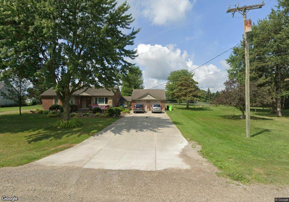
53141 Bates Rd Chesterfield, MI 48051
Estimated Value: $260,000 - $393,000
--
Bed
1
Bath
1,175
Sq Ft
$275/Sq Ft
Est. Value
About This Home
This home is located at 53141 Bates Rd, Chesterfield, MI 48051 and is currently estimated at $323,686, approximately $275 per square foot. 53141 Bates Rd is a home located in Macomb County with nearby schools including Joseph M. Carkenord Elementary School, L'Anse Creuse High School - North, and Austin Catholic Academy.
Ownership History
Date
Name
Owned For
Owner Type
Purchase Details
Closed on
Feb 26, 2005
Sold by
Ricketts Michael K and Ricketts Rhonda I
Bought by
Ricketts Michael K and Ricketts Rhonda I
Current Estimated Value
Home Financials for this Owner
Home Financials are based on the most recent Mortgage that was taken out on this home.
Original Mortgage
$146,600
Interest Rate
5.88%
Mortgage Type
New Conventional
Purchase Details
Closed on
Feb 24, 2000
Sold by
Hayes Christopher L
Bought by
Gaskill Rhonda I
Create a Home Valuation Report for This Property
The Home Valuation Report is an in-depth analysis detailing your home's value as well as a comparison with similar homes in the area
Home Values in the Area
Average Home Value in this Area
Purchase History
| Date | Buyer | Sale Price | Title Company |
|---|---|---|---|
| Ricketts Michael K | -- | Nations Title | |
| Gaskill Rhonda I | $168,000 | -- |
Source: Public Records
Mortgage History
| Date | Status | Borrower | Loan Amount |
|---|---|---|---|
| Closed | Ricketts Michael K | $146,600 |
Source: Public Records
Tax History Compared to Growth
Tax History
| Year | Tax Paid | Tax Assessment Tax Assessment Total Assessment is a certain percentage of the fair market value that is determined by local assessors to be the total taxable value of land and additions on the property. | Land | Improvement |
|---|---|---|---|---|
| 2025 | $2,369 | $137,700 | $0 | $0 |
| 2024 | $1,622 | $118,400 | $0 | $0 |
| 2023 | $1,538 | $105,500 | $0 | $0 |
| 2022 | $2,143 | $100,700 | $0 | $0 |
| 2021 | $2,085 | $96,900 | $0 | $0 |
| 2020 | $1,412 | $91,100 | $0 | $0 |
| 2019 | $1,842 | $85,200 | $0 | $0 |
| 2018 | $1,884 | $79,200 | $22,800 | $56,400 |
| 2017 | $1,845 | $72,000 | $22,800 | $49,200 |
| 2016 | $1,842 | $72,000 | $0 | $0 |
| 2015 | $622 | $67,850 | $0 | $0 |
| 2014 | $622 | $56,950 | $18,400 | $38,550 |
| 2012 | -- | $0 | $0 | $0 |
Source: Public Records
Map
Nearby Homes
- N W Corner 24 Mile & Gratiot Ave
- 53153 Gratiot Ave
- 53064 Barberry Cir
- 53261 Butternut St
- 0 Gratiot Ave
- 29321 Debbie Dr Unit 43
- 29326 Debbie Dr Unit 54
- 29008 Pinehurst Dr
- 53724 Newberry Dr Unit 127
- TBD Bertrand Dr
- 29181 Philadelphia Dr Unit 40
- 29280 Classic Dr Unit 115
- 53218 Elysia Dr
- 53754 Traditional Dr Unit 66
- 51817 Lionel Ln Unit 12
- 51768 Adler Park Dr W Unit 23
- 53925 Andrew Dr
- 51857 Adler Park Dr E Unit 44
- 56877 Gratiot Ave
- 29310 Jamestown Dr
- 53101 Bates Rd
- 28375 24 Mile Rd
- 53081 Bates Rd
- 53275 Bates Rd
- 53140 Bates Rd
- 53375 Bates Rd
- 52945 Gratiot Ave
- 53100 Gratiot Ave
- 53400 Bates Rd
- 53075 Barberry Cir
- 53071 Barberry Cir
- 53500 Bates Rd
- 53067 Barberry Cir Unit 26
- 53063 Barberry Cir
- 53059 Barberry Cir
- 53055 Barberry Cir
- 53453 Bates Rd
- 28859 Sugarberry Dr
- 28851 Sugarberry Dr
- 53076 Barberry Cir