5315 Al Jones Dr Shady Side, MD 20764
Estimated Value: $270,984 - $354,000
--
Bed
1
Bath
628
Sq Ft
$500/Sq Ft
Est. Value
About This Home
This home is located at 5315 Al Jones Dr, Shady Side, MD 20764 and is currently estimated at $313,746, approximately $499 per square foot. 5315 Al Jones Dr is a home located in Anne Arundel County with nearby schools including Shady Side Elementary School, Southern Middle School, and Southern High School.
Ownership History
Date
Name
Owned For
Owner Type
Purchase Details
Closed on
Jun 19, 2012
Sold by
Beard Christopher L
Bought by
Belt Frederick and Reese William Frederick
Current Estimated Value
Purchase Details
Closed on
Jun 1, 1989
Sold by
Twitty Mildred B
Bought by
Belt Frederick
Home Financials for this Owner
Home Financials are based on the most recent Mortgage that was taken out on this home.
Original Mortgage
$79,100
Interest Rate
10.5%
Create a Home Valuation Report for This Property
The Home Valuation Report is an in-depth analysis detailing your home's value as well as a comparison with similar homes in the area
Home Values in the Area
Average Home Value in this Area
Purchase History
| Date | Buyer | Sale Price | Title Company |
|---|---|---|---|
| Belt Frederick | -- | None Available | |
| Beard Christopher L | -- | None Available | |
| Belt Frederick | $87,900 | -- |
Source: Public Records
Mortgage History
| Date | Status | Borrower | Loan Amount |
|---|---|---|---|
| Previous Owner | Belt Frederick | $79,100 |
Source: Public Records
Tax History Compared to Growth
Tax History
| Year | Tax Paid | Tax Assessment Tax Assessment Total Assessment is a certain percentage of the fair market value that is determined by local assessors to be the total taxable value of land and additions on the property. | Land | Improvement |
|---|---|---|---|---|
| 2025 | $3,767 | $235,133 | -- | -- |
| 2024 | $3,767 | $216,767 | $0 | $0 |
| 2023 | $2,167 | $198,400 | $125,100 | $73,300 |
| 2022 | $3,327 | $193,267 | $0 | $0 |
| 2021 | $3,151 | $188,133 | $0 | $0 |
| 2020 | $3,050 | $183,000 | $120,100 | $62,900 |
| 2019 | $941 | $178,933 | $0 | $0 |
| 2018 | $1,773 | $174,867 | $0 | $0 |
| 2017 | $2,822 | $170,800 | $0 | $0 |
| 2016 | -- | $170,267 | $0 | $0 |
| 2015 | -- | $169,733 | $0 | $0 |
| 2014 | -- | $169,200 | $0 | $0 |
Source: Public Records
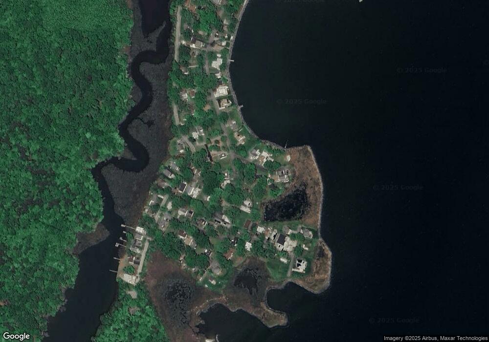
Map
Nearby Homes
- 5314 Al Jones Dr
- 1711 Columbia Beach Rd
- 1731 Columbia Beach Rd
- 1503 Callaway Dr
- 5250 Al Jones Dr
- 5235 Al Jones Dr
- 5211 Al Jones Dr
- 1512 Lincoln Rd
- 1445 & 1447 Haile Pkwy
- 0 Haile Pkwy Unit MDAA2127474
- 1461 Cedarhurst Rd
- 1436 Haile Pkwy
- 1213 Oak Ave
- 1208 Oak Ave
- 1428 Haile Pkwy
- 1408 & 1410 Haile Pkwy
- 1220 Grove Ave
- 6070 Shady Side Rd
- 0 Shady Side Rd Unit MDAA2113156
- 0 Shady Side Rd Unit MDAA2113166
- 1515 Crowner Rd
- 1509 Crowner Rd
- 1517 Crowner Rd
- 5316 Al Jones Dr
- 5321 Al Jones Dr
- 5320 Al Jones Dr
- 1514 Crowner Rd
- 1516 Crowner Rd
- 1510 Crowner Rd
- 1512 Crowner Rd
- 1519 Crowner Rd
- 5323 Al Jones Dr
- 1518 Crowner Rd
- 1506 Ellington Dr
- 5309 Al Jones Dr
- 5324 Al Jones Dr
- 5312 Al Jones Dr
- 5325 Al Jones Dr
- 1523 Crowner Rd
- 1503 Ellington Dr