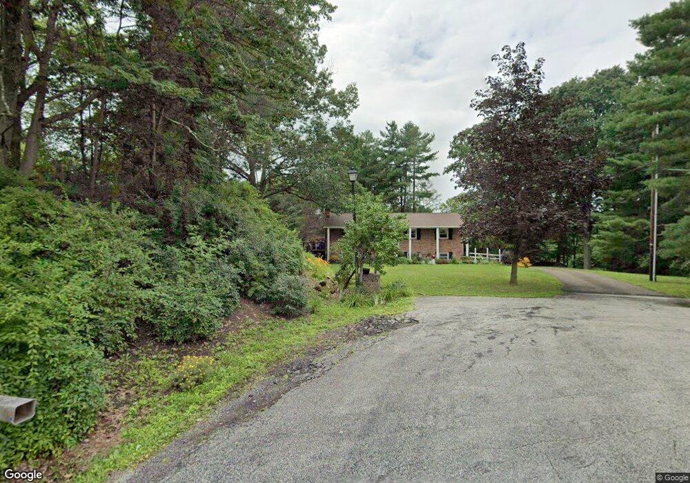
5315 Dunfred Cir SE Canton, OH 44707
Estimated Value: $198,583 - $271,000
3
Beds
2
Baths
1,196
Sq Ft
$197/Sq Ft
Est. Value
About This Home
This home is located at 5315 Dunfred Cir SE, Canton, OH 44707 and is currently estimated at $235,146, approximately $196 per square foot. 5315 Dunfred Cir SE is a home located in Stark County with nearby schools including Faircrest Memorial Elementary School, Canton South High School, and Beacon Academy.
Ownership History
Date
Name
Owned For
Owner Type
Purchase Details
Closed on
May 3, 2018
Sold by
Estate Of Melissa A Hendrix
Bought by
Lackney Michael J
Current Estimated Value
Purchase Details
Closed on
May 26, 1995
Sold by
Shannon Rita E
Bought by
Hendrix Peggy A
Home Financials for this Owner
Home Financials are based on the most recent Mortgage that was taken out on this home.
Original Mortgage
$55,000
Interest Rate
8.4%
Mortgage Type
New Conventional
Purchase Details
Closed on
Dec 10, 1992
Create a Home Valuation Report for This Property
The Home Valuation Report is an in-depth analysis detailing your home's value as well as a comparison with similar homes in the area
Purchase History
| Date | Buyer | Sale Price | Title Company |
|---|---|---|---|
| Lackney Michael J | -- | None Available | |
| Hendrix Peggy A | $90,500 | -- | |
| -- | -- | -- |
Source: Public Records
Mortgage History
| Date | Status | Borrower | Loan Amount |
|---|---|---|---|
| Previous Owner | Hendrix Peggy A | $55,000 |
Source: Public Records
Tax History
| Year | Tax Paid | Tax Assessment Tax Assessment Total Assessment is a certain percentage of the fair market value that is determined by local assessors to be the total taxable value of land and additions on the property. | Land | Improvement |
|---|---|---|---|---|
| 2025 | -- | $67,910 | $17,050 | $50,860 |
| 2024 | -- | $67,910 | $17,050 | $50,860 |
| 2023 | $2,059 | $53,630 | $12,710 | $40,920 |
| 2022 | $1,922 | $53,630 | $12,710 | $40,920 |
| 2021 | $1,928 | $53,630 | $12,710 | $40,920 |
| 2020 | $1,850 | $46,380 | $10,990 | $35,390 |
| 2019 | $1,880 | $44,910 | $10,990 | $33,920 |
| 2018 | $1,793 | $44,910 | $10,990 | $33,920 |
| 2017 | $1,795 | $42,950 | $11,130 | $31,820 |
| 2016 | $1,803 | $42,950 | $11,130 | $31,820 |
| 2015 | $902 | $42,950 | $11,130 | $31,820 |
| 2014 | $1,659 | $38,120 | $9,870 | $28,250 |
| 2013 | $834 | $38,120 | $9,870 | $28,250 |
Source: Public Records
Map
Nearby Homes
- 5213 Ridge Ave SE
- 0 49th St SW Unit 5185153
- 0 49th St SW Unit 5185124
- 600 53rd St SW
- 0 Birchmont Ave SW Unit 5185117
- 4847 Ashmont Ave SW
- 5247 Birchmont Ave SW
- 327 39th St SW
- 3673 Highview Ave SW
- 330 34th St SW
- 337 33rd St SW
- 260 Ironwood St SW
- 1005 Overlook Dr SW
- 0 Rexdale St SW
- 2749 Deer Pass Dr SW
- VL 38th St SW
- 2511 Sherr Ave SE
- 3840 Waynesburg Dr SE
- 2103 Henry Ave SW
- 3863 Richville Dr SW
- 5314 Dunfred Cir SE
- 5330 Cleveland Ave SW
- 5319 Derby Cir SE
- 5304 Cleveland Ave S
- 5328 Cleveland Ave S
- 5321 Dunfred Cir SE
- 5139 Derby Cir SE
- 5317 Derby Cir SE
- 5325 Dunfred Cir SE
- 208 53rd St SE
- 136 53rd St SE
- 5320 Dunfred Cir SE
- 200 53rd St SE
- 130 53rd St SE
- 5324 Cleveland Ave SW
- 5313 Ridge Ave SE
- 5322 Dunfred Cir SE
- 5332 Cleveland Ave S
- 5323 Ridge Ave SE
- 5332 Cleveland Ave SW
Your Personal Tour Guide
Ask me questions while you tour the home.