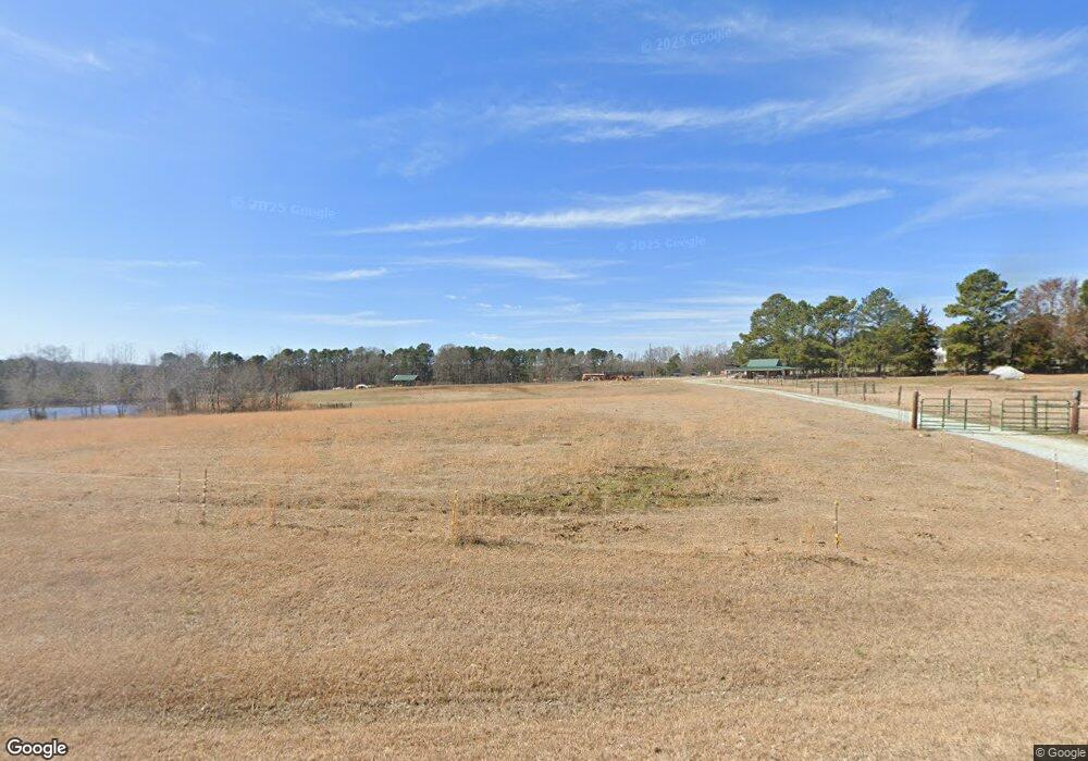
5315 Isham Chambers Rd Rougemont, NC 27572
Estimated Value: $557,954 - $633,000
3
Beds
1
Bath
2,122
Sq Ft
$281/Sq Ft
Est. Value
About This Home
This home is located at 5315 Isham Chambers Rd, Rougemont, NC 27572 and is currently estimated at $595,477, approximately $280 per square foot. 5315 Isham Chambers Rd is a home located in Durham County with nearby schools including Mangum Elementary School, Lucas Middle School, and Northern High School.
Ownership History
Date
Name
Owned For
Owner Type
Purchase Details
Closed on
Jul 21, 2014
Sold by
Hester Charles S
Bought by
Stirrup Scott R and Gasson Samantha
Current Estimated Value
Home Financials for this Owner
Home Financials are based on the most recent Mortgage that was taken out on this home.
Original Mortgage
$130,000
Interest Rate
4.24%
Mortgage Type
Purchase Money Mortgage
Create a Home Valuation Report for This Property
The Home Valuation Report is an in-depth analysis detailing your home's value as well as a comparison with similar homes in the area
Home Values in the Area
Average Home Value in this Area
Purchase History
| Date | Buyer | Sale Price | Title Company |
|---|---|---|---|
| Stirrup Scott R | $230,000 | None Available |
Source: Public Records
Mortgage History
| Date | Status | Borrower | Loan Amount |
|---|---|---|---|
| Closed | Stirrup Scott R | $130,000 |
Source: Public Records
Tax History Compared to Growth
Tax History
| Year | Tax Paid | Tax Assessment Tax Assessment Total Assessment is a certain percentage of the fair market value that is determined by local assessors to be the total taxable value of land and additions on the property. | Land | Improvement |
|---|---|---|---|---|
| 2025 | $2,408 | $911,388 | $578,880 | $332,508 |
| 2024 | $2,221 | $408,696 | $277,660 | $131,036 |
| 2023 | $2,011 | $408,696 | $277,660 | $131,036 |
| 2022 | $1,825 | $176,689 | $45,653 | $131,036 |
| 2021 | $1,276 | $176,689 | $45,653 | $131,036 |
| 2020 | $1,258 | $176,689 | $45,653 | $131,036 |
| 2019 | $1,258 | $176,689 | $45,653 | $131,036 |
| 2018 | $1,068 | $137,274 | $39,477 | $97,797 |
| 2017 | $1,054 | $137,274 | $39,477 | $97,797 |
| 2016 | $1,016 | $145,774 | $47,977 | $97,797 |
| 2015 | $1,148 | $127,254 | $45,874 | $81,380 |
| 2014 | $1,038 | $113,325 | $46,306 | $67,019 |
Source: Public Records
Map
Nearby Homes
- 129 Family Dr
- 18.2 Acres Range Rd
- 1150 Rougemont Rd
- 4144 Blue Creek Ln
- 000 Weaver Ridge Rd
- 184 Enon Rd
- 279 Weaver Ridge Rd
- 7810 Helena Moriah Rd
- 195 Falcon Ln
- Lot 17 Crown Oaks Dr
- Lot 6 Liatris Ln
- Lot 5 Liatris Ln
- 4465 Poppy Mallow Ln
- The Yadkin Plan at Murphy's Ridge
- The Washington Plan at Murphy's Ridge
- The Vance Plan at Murphy's Ridge
- The Stanley Plan at Murphy's Ridge
- The Silver Maple Plan at Murphy's Ridge
- The Pamlico Plan at Murphy's Ridge
- The Pitt Plan at Murphy's Ridge
- 6805 Range Rd
- LOT 4 Range Rd
- N/A Range Rd
- LOT 9 Range Rd
- Lot 6 Range Rd
- Lot 1 Range Rd
- LOT 6 Range Rd
- 0 Range Rd Unit 1854859
- 0 Range Rd Unit 819404
- 158 Range Rd
- 1126 Range Rd
- 1126 Range Rd
- LOT 9 Range Rd
- LOT 7 Range Rd
- 0 Range Rd Unit none TR1606914
- 0 Range Rd Unit TR2028803
- 4447 Range Rd
- 0 Range Rd Unit none 1606914
- 0 Range Rd Unit 21 1854859
- 0 Range Rd
