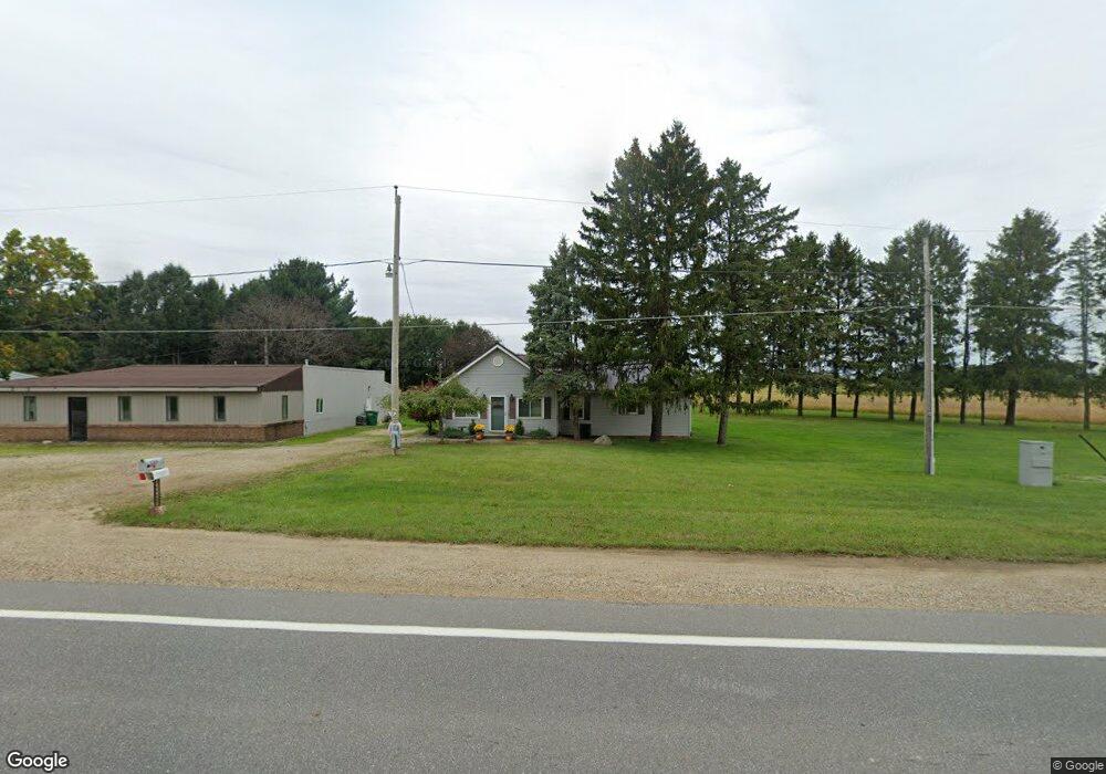
5315 W Us Highway 12 Buchanan, MI 49107
Estimated Value: $221,000 - $272,000
3
Beds
2
Baths
1,559
Sq Ft
$161/Sq Ft
Est. Value
About This Home
This home is located at 5315 W Us Highway 12, Buchanan, MI 49107 and is currently estimated at $250,562, approximately $160 per square foot. 5315 W Us Highway 12 is a home located in Berrien County with nearby schools including River Valley Middle/High School, Lutie High School, and Bethel Christian Academy.
Ownership History
Date
Name
Owned For
Owner Type
Purchase Details
Closed on
Feb 17, 2015
Sold by
Frame Jeremy A and Frame Shannon
Bought by
Morrisn Richard E and Morrison Rosemarie I
Current Estimated Value
Home Financials for this Owner
Home Financials are based on the most recent Mortgage that was taken out on this home.
Original Mortgage
$99,000
Outstanding Balance
$80,384
Interest Rate
5.5%
Mortgage Type
Future Advance Clause Open End Mortgage
Estimated Equity
$170,178
Purchase Details
Closed on
Sep 2, 1999
Purchase Details
Closed on
Dec 19, 1996
Create a Home Valuation Report for This Property
The Home Valuation Report is an in-depth analysis detailing your home's value as well as a comparison with similar homes in the area
Home Values in the Area
Average Home Value in this Area
Purchase History
| Date | Buyer | Sale Price | Title Company |
|---|---|---|---|
| Morrisn Richard E | $130,000 | Multiple | |
| -- | $60,000 | -- | |
| -- | $25,000 | -- |
Source: Public Records
Mortgage History
| Date | Status | Borrower | Loan Amount |
|---|---|---|---|
| Open | Morrisn Richard E | $99,000 |
Source: Public Records
Tax History Compared to Growth
Tax History
| Year | Tax Paid | Tax Assessment Tax Assessment Total Assessment is a certain percentage of the fair market value that is determined by local assessors to be the total taxable value of land and additions on the property. | Land | Improvement |
|---|---|---|---|---|
| 2025 | $1,653 | $112,500 | $0 | $0 |
| 2024 | $969 | $102,700 | $0 | $0 |
| 2023 | $923 | $90,800 | $0 | $0 |
| 2022 | $879 | $77,300 | $0 | $0 |
| 2021 | $1,522 | $74,300 | $15,000 | $59,300 |
| 2020 | $1,506 | $75,900 | $0 | $0 |
| 2019 | $1,474 | $61,700 | $12,000 | $49,700 |
| 2018 | $1,480 | $61,700 | $0 | $0 |
| 2017 | $1,464 | $61,600 | $0 | $0 |
| 2016 | $1,577 | $66,300 | $0 | $0 |
| 2015 | $1,102 | $64,300 | $0 | $0 |
| 2014 | $619 | $61,700 | $0 | $0 |
Source: Public Records
Map
Nearby Homes
- 5320 W US Highway 12
- 0 Us 12 W
- 4630 W US Highway 12
- 4935 Curran Rd
- 6460 E Galien Buchanan Rd
- 16091 Roe St
- 15973 Walnut St
- 15646 W Clear Lake Rd
- 000 W Clear Lake Rd
- 2934 W Front St
- 1936 E Clear Lake Rd
- 0 E Clear Lake Rd
- 15657 Lakeview Dr
- Track 4 W Us 12 Hwy Trail
- 0 Mount Zion Rd
- 6475 Olive Branch Rd
- 15326 Madron Lake Rd
- 347 Georgetown Colony
- 331 Charlestown Colony Unit 18
- 0 Madron Lake Unit 25057714
- 5315 U S 12
- 5325 W Us Highway 12
- 5310 W Us Highway 12
- 5310 W Us Highway 12
- 1950 Sage Rd
- 5345 W Us Highway 12
- 5375 W Us Highway 12
- 5350 W Us Highway 12
- 1970 Sage Rd
- 5375 U S 12
- 1980 Sage Rd
- 1945 Sage Rd
- 1955 Sage Rd
- 1990 Sage Rd
- 5370 W Us Highway 12
- 5380 W Us Highway 12
- 2010 Sage Rd
- 5395 W Us Highway 12
- 5395 W Us Highway 12
- 1965 Sage Rd