Estimated Value: $311,411 - $408,000
--
Bed
--
Bath
1,686
Sq Ft
$205/Sq Ft
Est. Value
About This Home
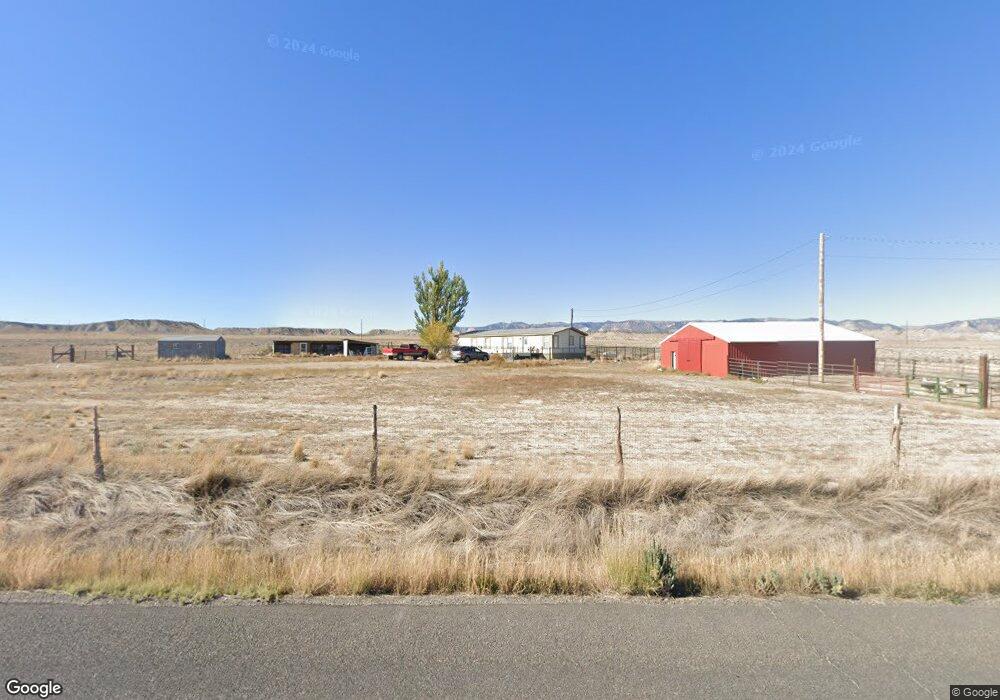
This home is located at 5317 N Coal Creek Rd Unit E, Price, UT 84501 and is currently estimated at $344,853, approximately $204 per square foot. 5317 N Coal Creek Rd Unit E is a home located in Carbon County with nearby schools including Wellington School, Mont Harmon Junior High School, and Carbon High School.
Ownership History
Date
Name
Owned For
Owner Type
Purchase Details
Closed on
Sep 30, 2022
Sold by
Mecham Natalee
Bought by
Allen Aquilino Mark and Roman Allen Aquilino
Current Estimated Value
Purchase Details
Closed on
Sep 2, 2015
Sold by
Richens Sarah A and Lecrone Sarah A
Bought by
Mecham Natalee
Home Financials for this Owner
Home Financials are based on the most recent Mortgage that was taken out on this home.
Original Mortgage
$127,645
Interest Rate
3.97%
Mortgage Type
FHA
Purchase Details
Closed on
Jan 12, 2012
Sold by
Jensen Dale Harold
Bought by
Lecrone Sarah A
Home Financials for this Owner
Home Financials are based on the most recent Mortgage that was taken out on this home.
Original Mortgage
$102,338
Interest Rate
4.4%
Mortgage Type
FHA
Create a Home Valuation Report for This Property
The Home Valuation Report is an in-depth analysis detailing your home's value as well as a comparison with similar homes in the area
Home Values in the Area
Average Home Value in this Area
Purchase History
| Date | Buyer | Sale Price | Title Company |
|---|---|---|---|
| Allen Aquilino Mark | -- | Professional National Title | |
| Mecham Natalee | -- | None Available | |
| Lecrone Sarah A | -- | -- |
Source: Public Records
Mortgage History
| Date | Status | Borrower | Loan Amount |
|---|---|---|---|
| Previous Owner | Mecham Natalee | $127,645 | |
| Previous Owner | Lecrone Sarah A | $102,338 |
Source: Public Records
Tax History Compared to Growth
Tax History
| Year | Tax Paid | Tax Assessment Tax Assessment Total Assessment is a certain percentage of the fair market value that is determined by local assessors to be the total taxable value of land and additions on the property. | Land | Improvement |
|---|---|---|---|---|
| 2024 | $1,524 | $108,570 | $44,275 | $64,295 |
| 2023 | $1,503 | $103,489 | $57,264 | $46,225 |
| 2022 | $973 | $69,714 | $23,488 | $46,225 |
| 2021 | $900 | $102,219 | $34,440 | $67,779 |
| 2020 | $814 | $48,738 | $0 | $0 |
| 2019 | $615 | $45,039 | $0 | $0 |
| 2018 | $598 | $62,798 | $0 | $0 |
| 2017 | $800 | $61,172 | $0 | $0 |
| 2016 | $716 | $61,172 | $0 | $0 |
| 2015 | $716 | $61,172 | $0 | $0 |
| 2014 | $705 | $61,172 | $0 | $0 |
| 2013 | $711 | $61,172 | $0 | $0 |
Source: Public Records
Map
Nearby Homes
- 1173 S 6070 E
- 6835 E 1340 S
- 2261 E Coal Creek Rd
- 4190 E 2750 S
- 7130 E 2100 S
- 1402 Shepherd Dr
- 7218 E 2100 S
- 1407 Shepherd Dr
- 1403 Cactus Cir Unit 32
- 2773 Old Wellington Rd Unit 1
- 1416 W Valley View Dr
- 2267 Sego Lily Dr
- 100 W Cemetery Rd
- 1086 E Main St
- 810 S 500 W
- 157 E 100 N
- 496 E Main St
- 55 200 E
- 800 W Highway Dr
- 150 S 500 E
- 5317 E Coal Creek
- 5264 N Coal Creek Unit EAST
- 5666 N Coal Creek Unit E
- 6066 N Coal Creek Rd
- 6065 N Coal Creek
- 6048 N Coal Creek
- 6070 N Coal Creek Rd
- 6145 N Coal Creek Rd Unit E
- 6200 N Coal Creek Rd
- 6200 N Coal Creek
- 6169 N Coal Creek
- 6179 N Coal Creek Rd Unit E
- 6217 N Coal Creek
- 6241 N Coal Creek
- 6241 N Coal Creek Rd Unit E
- 6240 N Coal Creek Rd