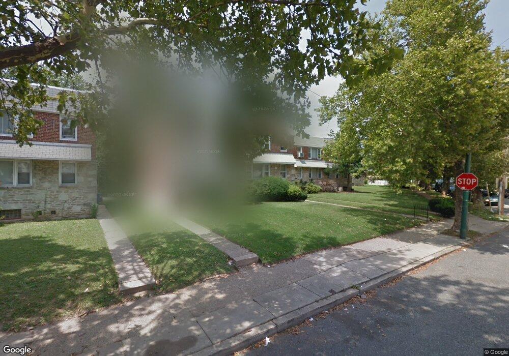
5318 Rutland St Philadelphia, PA 19124
Frankford NeighborhoodEstimated Value: $253,000 - $317,847
--
Bed
--
Bath
1,800
Sq Ft
$163/Sq Ft
Est. Value
About This Home
This home is located at 5318 Rutland St, Philadelphia, PA 19124 and is currently estimated at $292,949, approximately $162 per square foot. 5318 Rutland St is a home located in Philadelphia County with nearby schools including Frankford High School, The Philadelphia Charter School for the Arts & Sciences, and Northwood Academy Charter School.
Ownership History
Date
Name
Owned For
Owner Type
Purchase Details
Closed on
Jul 26, 2010
Sold by
Fisher Marion R and Boettcher Janis Lenore
Bought by
Singleton Maury W
Current Estimated Value
Home Financials for this Owner
Home Financials are based on the most recent Mortgage that was taken out on this home.
Original Mortgage
$147,907
Outstanding Balance
$98,640
Interest Rate
4.87%
Mortgage Type
FHA
Estimated Equity
$194,309
Purchase Details
Closed on
Jul 19, 1999
Sold by
Cahill Veronica J and Will Of Marie E Nelson
Bought by
Fisher Marion R
Create a Home Valuation Report for This Property
The Home Valuation Report is an in-depth analysis detailing your home's value as well as a comparison with similar homes in the area
Home Values in the Area
Average Home Value in this Area
Purchase History
| Date | Buyer | Sale Price | Title Company |
|---|---|---|---|
| Singleton Maury W | $149,900 | None Available | |
| Fisher Marion R | $84,000 | -- |
Source: Public Records
Mortgage History
| Date | Status | Borrower | Loan Amount |
|---|---|---|---|
| Open | Singleton Maury W | $147,907 |
Source: Public Records
Tax History Compared to Growth
Tax History
| Year | Tax Paid | Tax Assessment Tax Assessment Total Assessment is a certain percentage of the fair market value that is determined by local assessors to be the total taxable value of land and additions on the property. | Land | Improvement |
|---|---|---|---|---|
| 2026 | $2,545 | $320,200 | $64,040 | $256,160 |
| 2025 | $2,545 | $320,200 | $64,040 | $256,160 |
| 2024 | $2,545 | $320,200 | $64,040 | $256,160 |
| 2023 | $2,545 | $181,800 | $36,300 | $145,500 |
| 2022 | $1,331 | $136,800 | $36,300 | $100,500 |
| 2021 | $1,961 | $0 | $0 | $0 |
| 2020 | $1,961 | $0 | $0 | $0 |
| 2019 | $1,881 | $0 | $0 | $0 |
| 2018 | $1,361 | $0 | $0 | $0 |
| 2017 | $1,781 | $0 | $0 | $0 |
| 2016 | $1,361 | $0 | $0 | $0 |
| 2015 | $1,302 | $0 | $0 | $0 |
| 2014 | -- | $127,200 | $48,511 | $78,689 |
| 2012 | -- | $22,080 | $2,304 | $19,776 |
Source: Public Records
Map
Nearby Homes
- 1048 Bridge St
- 5661 Miriam Rd
- 5659 Miriam Rd
- 1137 Bridge St
- 5640 Miriam Rd
- 996 Anchor St
- 991 Carver St
- 1209 E Sanger St
- 1431 Rosalie St
- 972 Bridge St
- 5902 E Roosevelt Blvd
- 1225 E Cheltenham Ave
- 5347 Sylvester St
- 1244 E Sanger St
- 1211 E Cheltenham Ave
- 934 Brill St
- 5505 Loretto Ave
- 1204 Pratt St
- 5900 Loretto Ave
- 1218 Pratt St
- 5316 Rutland St
- 5384 Oxford Ave
- 5314 Rutland St
- 5386 Oxford Ave
- 5312 Rutland St
- 5388 Oxford Ave Unit 1ST FLOOR
- 5390 Oxford Ave
- 5308 Rutland St
- 5392 Oxford Ave
- 5321 Castor Ave
- 5315 Castor Ave
- 5319 Castor Ave
- 5313 Castor Ave
- 5323 Castor Ave
- 5394 Oxford Ave
- 5325 Castor Ave
- 5311 Castor Ave
- 5327 Castor Ave
- 5309 Castor Ave
- 5396 Oxford Ave