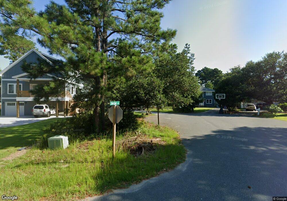
532 Anchor Ct Unit 114 Kill Devil Hills, NC 27948
Estimated Value: $459,000 - $488,000
3
Beds
2
Baths
1,256
Sq Ft
$377/Sq Ft
Est. Value
About This Home
This home is located at 532 Anchor Ct Unit 114, Kill Devil Hills, NC 27948 and is currently estimated at $473,774, approximately $377 per square foot. 532 Anchor Ct Unit 114 is a home located in Dare County with nearby schools including Nags Head Elementary School, First Flight Middle School, and First Flight High School.
Ownership History
Date
Name
Owned For
Owner Type
Purchase Details
Closed on
Jun 6, 2025
Sold by
Lawrenson Nathan P and Lawrenson Patricia S
Bought by
Chesson Steven M and Sherman Hunter L
Current Estimated Value
Home Financials for this Owner
Home Financials are based on the most recent Mortgage that was taken out on this home.
Original Mortgage
$235,000
Outstanding Balance
$233,576
Interest Rate
6.81%
Mortgage Type
New Conventional
Estimated Equity
$240,198
Purchase Details
Closed on
Nov 3, 2008
Sold by
Obrien Carole L
Bought by
Lawrenson Nathan P and Lawrenson Patricia S
Home Financials for this Owner
Home Financials are based on the most recent Mortgage that was taken out on this home.
Original Mortgage
$190,000
Interest Rate
6.11%
Mortgage Type
Purchase Money Mortgage
Purchase Details
Closed on
Aug 17, 2006
Sold by
Schultz Kelly Obrien and Schultz John
Bought by
Obrien Carole L
Create a Home Valuation Report for This Property
The Home Valuation Report is an in-depth analysis detailing your home's value as well as a comparison with similar homes in the area
Home Values in the Area
Average Home Value in this Area
Purchase History
| Date | Buyer | Sale Price | Title Company |
|---|---|---|---|
| Chesson Steven M | $470,000 | None Listed On Document | |
| Chesson Steven M | $470,000 | None Listed On Document | |
| Lawrenson Nathan P | $200,000 | None Available | |
| Obrien Carole L | -- | None Available |
Source: Public Records
Mortgage History
| Date | Status | Borrower | Loan Amount |
|---|---|---|---|
| Open | Chesson Steven M | $235,000 | |
| Closed | Chesson Steven M | $235,000 | |
| Previous Owner | Lawrenson Nathan P | $190,000 |
Source: Public Records
Tax History
| Year | Tax Paid | Tax Assessment Tax Assessment Total Assessment is a certain percentage of the fair market value that is determined by local assessors to be the total taxable value of land and additions on the property. | Land | Improvement |
|---|---|---|---|---|
| 2025 | $2,134 | $392,800 | $178,000 | $214,800 |
| 2024 | $1,809 | $239,400 | $89,000 | $150,400 |
| 2023 | $1,809 | $239,400 | $89,000 | $150,400 |
| 2022 | $1,725 | $239,400 | $89,000 | $150,400 |
| 2021 | $1,725 | $239,400 | $89,000 | $150,400 |
| 2020 | $1,725 | $239,400 | $89,000 | $150,400 |
| 2019 | $1,532 | $176,100 | $70,400 | $105,700 |
| 2018 | $1,498 | $176,100 | $70,400 | $105,700 |
| 2017 | $1,498 | $176,100 | $70,400 | $105,700 |
| 2016 | $1,428 | $176,100 | $70,400 | $105,700 |
| 2014 | $1,375 | $176,100 | $70,400 | $105,700 |
Source: Public Records
Map
Nearby Homes
- 524 Anika Way Unit Lot 30
- 516 Anika Way Unit Lot 34
- 512 Anika Way Unit Lot 36
- 1304 Harpoon Dr Unit Lot 70
- 1302 Harpoon Dr Unit Lot 68
- 1303 Tranquil Place Unit Lot 67
- 1515 Dogwood Ln Unit Lot 58
- 609 Zen Ln Unit Lot 55
- 701 Zen Ln Unit Lot 57
- 518 Parkwood Dr Unit Lot 10A
- 1320 Water Oak Dr Unit Lot 4
- 1404 Captains Cir Unit Lot 152
- 1308 Water Oak Dr Unit Lot 10
- 700 W First St Unit J-11
- 700 W First St Unit E7
- 700 W First St Unit I-3
- 1420 W First St Unit Lot 4
- 1106 Indian Dr Unit Lot 27
- 1204 Indian Dr Unit Lot 29
- 107 Porthole Ct Unit Lot 33
- 532 Anchor Ct
- 530 Anchor Ct
- 609 Cedar Dr
- 607 Cedar Dr Unit 9
- 607 Cedar Dr
- 534 Anchor Ct
- 528 Anchor Ct
- 611 Cedar Dr
- 600 W Landing Dr
- 605 Cedar Dr
- 526 W Landing Dr Unit Lot 117
- 526 W Landing Dr
- 602 W Landing Dr Unit 111
- 602 W Landing Dr
- 701 Cedar Dr
- 516 Schooner Ct
- 518 Schooner Ct
- 0 Sunrise Crossing Dr Unit 118153
- 524 W Landing Dr
- 606 Cedar Dr
Your Personal Tour Guide
Ask me questions while you tour the home.