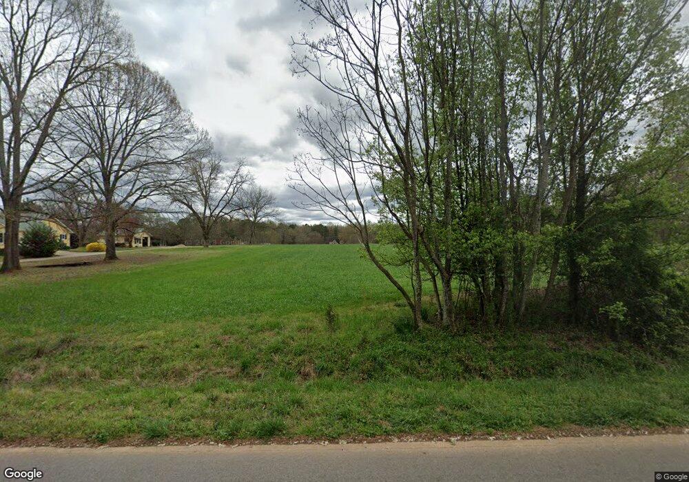
532 Cooper Rd Social Circle, GA 30025
Estimated Value: $488,000 - $539,000
--
Bed
3
Baths
2,534
Sq Ft
$203/Sq Ft
Est. Value
About This Home
This home is located at 532 Cooper Rd, Social Circle, GA 30025 and is currently estimated at $514,776, approximately $203 per square foot. 532 Cooper Rd is a home located in Newton County with nearby schools including Mansfield Elementary School, Indian Creek Middle School, and Eastside High School.
Ownership History
Date
Name
Owned For
Owner Type
Purchase Details
Closed on
Jun 8, 2005
Sold by
Oglesby Jimmy J and Oglesby Evelyn
Bought by
Bailey John W and Bailey Rebecca
Current Estimated Value
Home Financials for this Owner
Home Financials are based on the most recent Mortgage that was taken out on this home.
Original Mortgage
$280,500
Interest Rate
5.69%
Mortgage Type
New Conventional
Create a Home Valuation Report for This Property
The Home Valuation Report is an in-depth analysis detailing your home's value as well as a comparison with similar homes in the area
Home Values in the Area
Average Home Value in this Area
Purchase History
| Date | Buyer | Sale Price | Title Company |
|---|---|---|---|
| Bailey John W | -- | -- |
Source: Public Records
Mortgage History
| Date | Status | Borrower | Loan Amount |
|---|---|---|---|
| Closed | Bailey John W | $280,500 |
Source: Public Records
Tax History Compared to Growth
Tax History
| Year | Tax Paid | Tax Assessment Tax Assessment Total Assessment is a certain percentage of the fair market value that is determined by local assessors to be the total taxable value of land and additions on the property. | Land | Improvement |
|---|---|---|---|---|
| 2025 | $5,921 | $237,960 | $15,560 | $222,400 |
| 2024 | $5,617 | $221,760 | $15,560 | $206,200 |
| 2023 | $5,618 | $207,040 | $14,000 | $193,040 |
| 2022 | $4,703 | $173,320 | $14,000 | $159,320 |
| 2021 | $4,856 | $160,120 | $14,000 | $146,120 |
| 2020 | $4,362 | $129,840 | $10,800 | $119,040 |
| 2019 | $4,144 | $121,480 | $10,800 | $110,680 |
| 2018 | $3,940 | $114,760 | $10,800 | $103,960 |
| 2017 | $3,774 | $109,920 | $10,800 | $99,120 |
| 2016 | $3,774 | $109,920 | $10,800 | $99,120 |
| 2015 | $3,058 | $89,080 | $10,800 | $78,280 |
| 2014 | $3,048 | $89,080 | $0 | $0 |
Source: Public Records
Map
Nearby Homes
- 220 Nicklaus Cir
- 225 Ewing Dr
- 857 Cooper Rd
- 175 Ewing Dr
- 180 Cooper Rd
- 995 Hodges Cir
- 10 Nicklaus Cir
- 145 Fiddle Creek Unit 12
- 1581 Hodges Cir
- 45 Fiddle Creek
- 1297 Hodges Cir
- 925 Cooper Rd
- 35 Mattie Ct
- 1202 Hodges Cir
- 1500 Pine Forest Rd
- 788 S Hwy 11
- 12956 Us Highway 278
- 1530 Highway 11 S
- 0 Highway 11 S Unit 10573906
- 0 Highway 11 S Unit 7623798
- 534 Cooper Rd
- 628 Cooper Rd
- 530 Cooper Rd
- 210 Nicklaus Cir
- 200 Nicklaus Cir Unit 20
- 200 Nicklaus Cir
- 486 Cooper Rd
- 0 Doe Run
- 0 Doe Run Unit CM389903
- 0 Doe Run Unit 1 CM449520
- 0 Doe Run Unit 1 CM466392
- 0 Doe Run Unit 8320822
- 0 Doe Run Unit 8526229
- 499 Cooper Rd
- 230 Nicklaus Cir
- 545 Cooper Rd
- 10 Doe Run
- 190 Nicklaus Cir
- 525 Cooper Rd
- 10 Buck Trail
