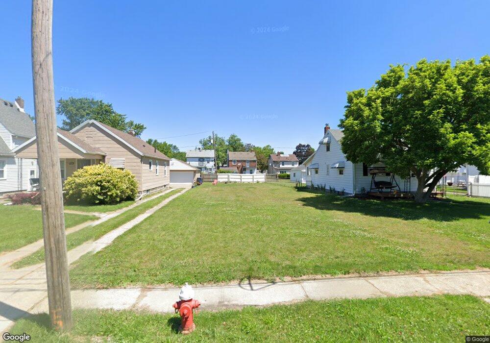
532 Custer Dr Toledo, OH 43612
North Towne NeighborhoodEstimated Value: $31,000 - $138,000
3
Beds
1
Bath
1,382
Sq Ft
$72/Sq Ft
Est. Value
About This Home
This home is located at 532 Custer Dr, Toledo, OH 43612 and is currently estimated at $99,667, approximately $72 per square foot. 532 Custer Dr is a home located in Lucas County with nearby schools including Larchmont Elementary School, Start High School, and Bennett Venture Academy.
Ownership History
Date
Name
Owned For
Owner Type
Purchase Details
Closed on
May 16, 2022
Sold by
Sheriff Of Lucas County
Bought by
Phoenix Capital V Llc
Current Estimated Value
Purchase Details
Closed on
Mar 23, 2012
Sold by
Us Bank National Association
Bought by
Phoenix Capital V Llc
Purchase Details
Closed on
Jan 24, 2011
Sold by
Knaggs Dolores L
Bought by
Us Bank National Association
Purchase Details
Closed on
Nov 14, 2008
Sold by
Estate Of Linus Joseph Knaggs
Bought by
Knaggs Dolores L
Create a Home Valuation Report for This Property
The Home Valuation Report is an in-depth analysis detailing your home's value as well as a comparison with similar homes in the area
Home Values in the Area
Average Home Value in this Area
Purchase History
| Date | Buyer | Sale Price | Title Company |
|---|---|---|---|
| Phoenix Capital V Llc | $3,325 | None Listed On Document | |
| Phoenix Capital V Llc | $6,200 | None Available | |
| Us Bank National Association | $30,000 | Attorney | |
| Knaggs Dolores L | -- | None Available |
Source: Public Records
Tax History
| Year | Tax Paid | Tax Assessment Tax Assessment Total Assessment is a certain percentage of the fair market value that is determined by local assessors to be the total taxable value of land and additions on the property. | Land | Improvement |
|---|---|---|---|---|
| 2025 | -- | $350 | $350 | -- |
| 2024 | $69 | $350 | $350 | -- |
| 2023 | $135 | $350 | $350 | $0 |
| 2022 | $134 | $350 | $350 | $0 |
| 2021 | $452 | $350 | $350 | $0 |
| 2020 | $462 | $2,555 | $560 | $1,995 |
| 2019 | $295 | $2,555 | $560 | $1,995 |
| 2018 | $298 | $2,555 | $560 | $1,995 |
| 2017 | $990 | $2,170 | $490 | $1,680 |
| 2016 | $642 | $6,200 | $1,400 | $4,800 |
| 2015 | $293 | $6,200 | $1,400 | $4,800 |
| 2014 | $140 | $2,170 | $490 | $1,680 |
| 2013 | $140 | $2,170 | $490 | $1,680 |
Source: Public Records
Map
Nearby Homes
- 540 Cloverdale Rd
- 741 Cloverdale Rd
- 702 Mayfair Blvd
- 439 W Capistrano Ave
- 331 W Crawford Ave
- 840 Southover Rd
- 706 W Gramercy Ave
- 815 W Capistrano Ave
- 533 W Northgate Pkwy
- 223 W Capistrano Ave
- 4703 Vermaas Ave
- 826 W Gramercy Ave
- 433 California Blvd
- 736 W Northgate Pkwy
- 904 Annabelle Dr
- 47 W Crawford Ave
- 539 Sunset Blvd
- 1023 Hawk St
- 542 Eleanor Ave
- 334 Waggoner Blvd
- 536 Custer Dr
- 528 Custer Dr
- 540 Custer Dr
- 524 Custer Dr
- 544 Custer Dr
- 520 Custer Dr
- 546 Custer Dr
- 529 Southover Rd
- 533 Southover Rd
- 525 Southover Rd
- 541 Southover Rd
- 550 Custer Dr
- 521 Southover Rd
- 531 Custer Dr
- 527 Custer Dr
- 535 Custer Dr
- 525 Custer Dr
- 517 Southover Rd
- 523 Custer Dr
- 545 Southover Rd
Your Personal Tour Guide
Ask me questions while you tour the home.