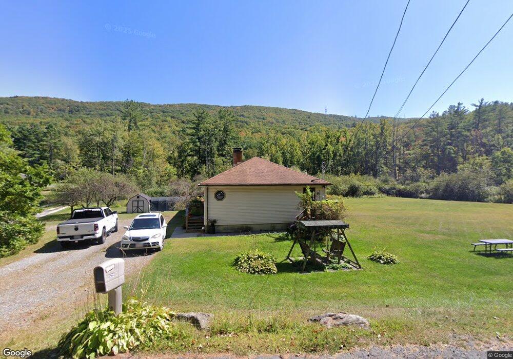
532 Daniels Rd North Adams, MA 01247
Estimated Value: $237,000 - $358,000
3
Beds
1
Bath
1,436
Sq Ft
$212/Sq Ft
Est. Value
About This Home
This home is located at 532 Daniels Rd, North Adams, MA 01247 and is currently estimated at $303,859, approximately $211 per square foot. 532 Daniels Rd is a home located in Berkshire County with nearby schools including Colegrove Park Elementary School and Drury High School.
Ownership History
Date
Name
Owned For
Owner Type
Purchase Details
Closed on
May 16, 1997
Sold by
Babula James J and Babula Deanna E
Bought by
Poplaski Joseph A and Gardner Bonnie J
Current Estimated Value
Home Financials for this Owner
Home Financials are based on the most recent Mortgage that was taken out on this home.
Original Mortgage
$72,000
Interest Rate
8.12%
Mortgage Type
Purchase Money Mortgage
Create a Home Valuation Report for This Property
The Home Valuation Report is an in-depth analysis detailing your home's value as well as a comparison with similar homes in the area
Home Values in the Area
Average Home Value in this Area
Purchase History
| Date | Buyer | Sale Price | Title Company |
|---|---|---|---|
| Poplaski Joseph A | $90,000 | -- |
Source: Public Records
Mortgage History
| Date | Status | Borrower | Loan Amount |
|---|---|---|---|
| Open | Poplaski Joseph A | $76,600 | |
| Closed | Poplaski Joseph A | $72,000 | |
| Previous Owner | Poplaski Joseph A | $15,000 |
Source: Public Records
Tax History Compared to Growth
Tax History
| Year | Tax Paid | Tax Assessment Tax Assessment Total Assessment is a certain percentage of the fair market value that is determined by local assessors to be the total taxable value of land and additions on the property. | Land | Improvement |
|---|---|---|---|---|
| 2025 | $4,398 | $263,200 | $52,500 | $210,700 |
| 2024 | $4,155 | $242,400 | $48,100 | $194,300 |
| 2023 | $4,119 | $233,100 | $48,100 | $185,000 |
| 2022 | $3,749 | $202,300 | $48,100 | $154,200 |
| 2021 | $3,486 | $187,300 | $44,500 | $142,800 |
| 2020 | $3,411 | $183,200 | $44,200 | $139,000 |
| 2019 | $2,440 | $167,800 | $40,800 | $127,000 |
| 2018 | $3,453 | $167,500 | $42,900 | $124,600 |
| 2017 | $2,930 | $165,800 | $42,500 | $123,300 |
| 2016 | $2,842 | $163,400 | $42,500 | $120,900 |
| 2015 | $2,774 | $166,200 | $42,500 | $123,700 |
Source: Public Records
Map
Nearby Homes
- 0 Daniels Rd
- 0 Beaver St
- 2438 Mohawk Trail
- 83 Walker St
- 667 & 669 E Main St
- 0 Mohawk Trail
- 0 Oak Hill Unit 237953
- 0 Cross Rd
- 921 Mohawk Trail
- 350 Mohawk Trail
- 23-27 Gallup St
- 360 Mohawk Trail
- 100 Autumn Dr
- 306 Union St
- 50 Gallup St
- 0 River Rd Unit 245240
- 54 Pine Hill Terrace
- 00 Mohawk Trail
- 39 Fieldwood Dr
- 129-133 Franklin St
- 554 Daniels Rd
- 497 Daniels Rd
- 552 Daniels Rd
- 472 Daniels Rd
- 564 Daniels Rd
- 550 Daniels Rd
- 575 Daniels Rd
- 629 Daniels Rd
- lot # Daniels Rd
- Lot 2 Daniels Rd
- lot4/8 Daniels Rd
- 632 Daniels Rd
- 656 Daniels Rd
- 666 Daniels Rd
- 620 Daniels Rd
- 371 Daniels Rd
- 700 Daniels Rd
- 474 Walker St
- 706 Daniels Rd
- 81 Brooks Heights