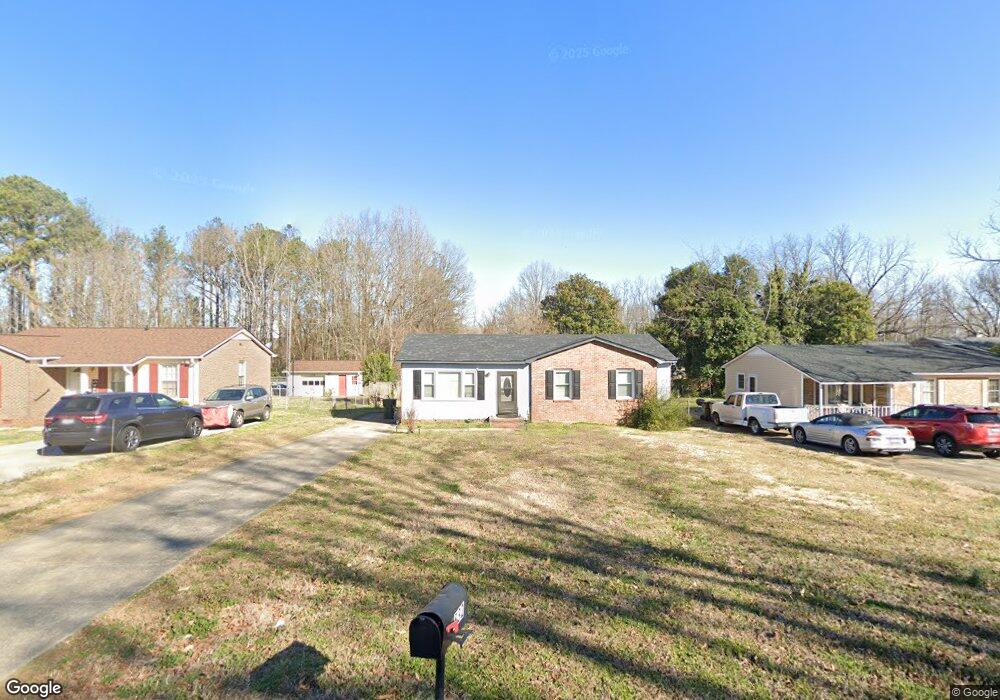
532 Friedheim Rd Rock Hill, SC 29730
Estimated Value: $157,000 - $217,000
--
Bed
1
Bath
1,075
Sq Ft
$170/Sq Ft
Est. Value
About This Home
This home is located at 532 Friedheim Rd, Rock Hill, SC 29730 and is currently estimated at $182,807, approximately $170 per square foot. 532 Friedheim Rd is a home located in York County with nearby schools including Sunset Park Elementary School, Saluda Trail Middle School, and Northwestern High School.
Ownership History
Date
Name
Owned For
Owner Type
Purchase Details
Closed on
Jun 2, 2020
Sold by
Simpson Catherine H
Bought by
Simpson Catherine H
Current Estimated Value
Purchase Details
Closed on
Jul 11, 2014
Sold by
Simpson Catherine H
Bought by
Simpson Freddie L
Home Financials for this Owner
Home Financials are based on the most recent Mortgage that was taken out on this home.
Original Mortgage
$60,000
Interest Rate
4.26%
Mortgage Type
VA
Create a Home Valuation Report for This Property
The Home Valuation Report is an in-depth analysis detailing your home's value as well as a comparison with similar homes in the area
Home Values in the Area
Average Home Value in this Area
Purchase History
| Date | Buyer | Sale Price | Title Company |
|---|---|---|---|
| Simpson Catherine H | -- | None Available | |
| Simpson Freddie L | $60,000 | -- |
Source: Public Records
Mortgage History
| Date | Status | Borrower | Loan Amount |
|---|---|---|---|
| Previous Owner | Simpson Freddie L | $60,000 |
Source: Public Records
Tax History Compared to Growth
Tax History
| Year | Tax Paid | Tax Assessment Tax Assessment Total Assessment is a certain percentage of the fair market value that is determined by local assessors to be the total taxable value of land and additions on the property. | Land | Improvement |
|---|---|---|---|---|
| 2024 | $2,252 | $5,089 | $960 | $4,129 |
| 2023 | $2,255 | $5,089 | $960 | $4,129 |
| 2022 | $2,150 | $5,089 | $960 | $4,129 |
| 2021 | -- | $5,089 | $960 | $4,129 |
| 2020 | $1,965 | $4,747 | $0 | $0 |
| 2019 | $594 | $4,590 | $0 | $0 |
| 2018 | $0 | $0 | $0 | $0 |
| 2017 | -- | $0 | $0 | $0 |
| 2016 | $594 | $2,720 | $0 | $0 |
| 2014 | $591 | $2,720 | $560 | $2,160 |
| 2013 | $591 | $4,260 | $840 | $3,420 |
Source: Public Records
Map
Nearby Homes
- 426 Williamson St
- 481 Milhaven St
- 417 Baker Street Extension
- 420 Baker Street Extension
- 420 Byars St
- 329 Arnold St
- 1195 Cavalier Ln
- 235 Florence St
- 316 Scoggins St
- 718 Harrison St
- 15 Wright St
- 66 Reynolds St Unit 22
- 664 Simpson St
- 205, 207, 209 Friedheim Rd
- 206 Friedheim Rd
- 58 Reynolds St
- 333 Friendship Dr
- 450 Gettys St
- 546 Whitner St
- Lot 1 Barber St
- 526 Friedheim Rd
- 536 Friedheim Rd
- 531 Devore Place Unit 27
- 540 Friedheim Rd
- 520 Friedheim Rd
- 520 Friedheim Rd
- 527 Devore Place
- 505 Friedheim Rd
- 505 Friedheim Rd
- 505 Friedheim Rd
- 505 Friedheim Rd
- 535 Devore Place
- 475 Friedheim Rd
- 544 Friedheim Rd
- 479 Friedheim Rd
- 514 Friedheim Rd Unit 19
- 471 Friedheim Rd
- 521 Devore Place
- 548 Friedheim Rd
- 534 Devore Place