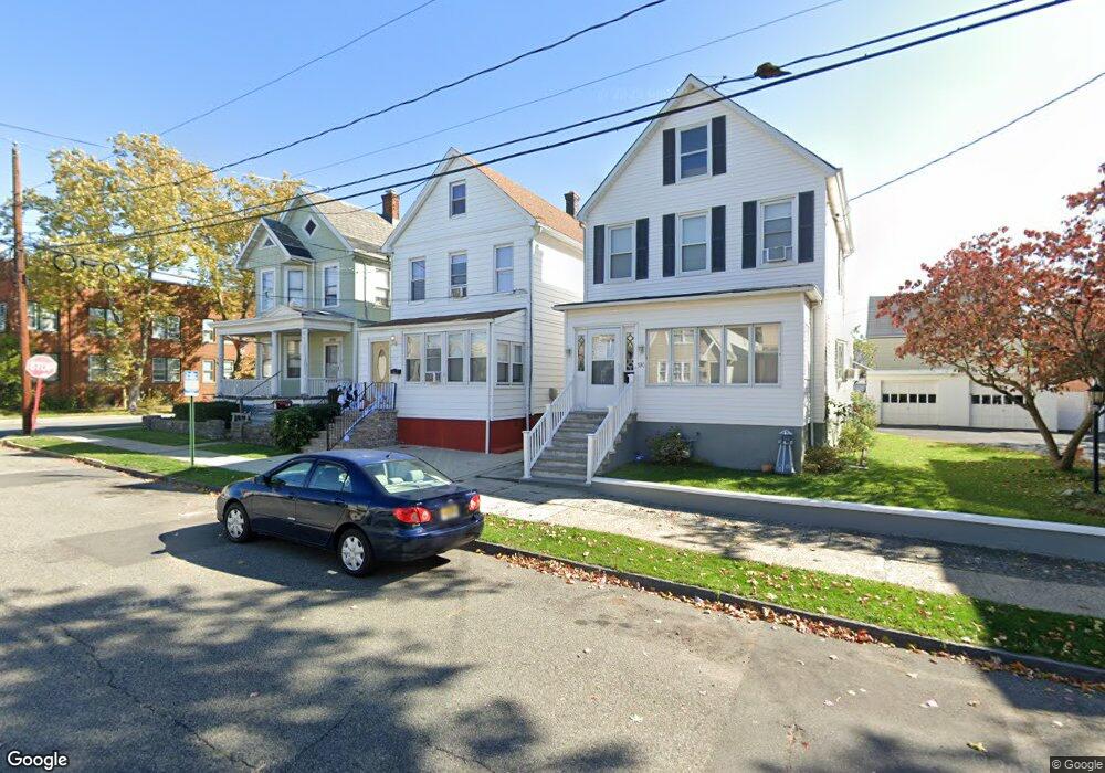
532 Groom St Perth Amboy, NJ 08861
Amboy Avenue NeighborhoodEstimated Value: $446,000 - $544,000
6
Beds
2
Baths
2,076
Sq Ft
$238/Sq Ft
Est. Value
About This Home
This home is located at 532 Groom St, Perth Amboy, NJ 08861 and is currently estimated at $494,079, approximately $237 per square foot. 532 Groom St is a home located in Middlesex County with nearby schools including Perth Amboy High School, Middlesex County STEM Charter School, and Academy for Urban Leadership Charter School.
Ownership History
Date
Name
Owned For
Owner Type
Purchase Details
Closed on
Dec 19, 2012
Sold by
Stec Paul
Bought by
Stec Loretta
Current Estimated Value
Purchase Details
Closed on
Dec 21, 2010
Sold by
Wachovia Mortgage Corporation
Bought by
Dejesus Diomedes
Purchase Details
Closed on
May 12, 2010
Sold by
Mish Dorothy
Bought by
Wachovia Mortgage Corporation
Purchase Details
Closed on
Oct 27, 2003
Sold by
Errickson John
Bought by
Mish Dorothy
Home Financials for this Owner
Home Financials are based on the most recent Mortgage that was taken out on this home.
Original Mortgage
$158,000
Interest Rate
5.66%
Create a Home Valuation Report for This Property
The Home Valuation Report is an in-depth analysis detailing your home's value as well as a comparison with similar homes in the area
Home Values in the Area
Average Home Value in this Area
Purchase History
| Date | Buyer | Sale Price | Title Company |
|---|---|---|---|
| Stec Loretta | -- | None Available | |
| Dejesus Diomedes | $90,000 | East Coast Title | |
| Wachovia Mortgage Corporation | -- | None Available | |
| Mish Dorothy | $90,000 | -- |
Source: Public Records
Mortgage History
| Date | Status | Borrower | Loan Amount |
|---|---|---|---|
| Previous Owner | Mish Dorothy | $158,000 |
Source: Public Records
Tax History Compared to Growth
Tax History
| Year | Tax Paid | Tax Assessment Tax Assessment Total Assessment is a certain percentage of the fair market value that is determined by local assessors to be the total taxable value of land and additions on the property. | Land | Improvement |
|---|---|---|---|---|
| 2025 | $7,196 | $238,500 | $96,400 | $142,100 |
| 2024 | $7,181 | $238,500 | $96,400 | $142,100 |
| 2023 | $7,181 | $238,500 | $96,400 | $142,100 |
| 2022 | $7,095 | $238,500 | $96,400 | $142,100 |
| 2021 | $7,105 | $238,500 | $96,400 | $142,100 |
| 2020 | $7,103 | $238,500 | $96,400 | $142,100 |
| 2019 | $7,129 | $238,500 | $96,400 | $142,100 |
| 2018 | $7,067 | $238,500 | $96,400 | $142,100 |
| 2017 | $7,052 | $238,500 | $96,400 | $142,100 |
| 2016 | $6,869 | $238,500 | $96,400 | $142,100 |
| 2015 | $6,917 | $238,500 | $96,400 | $142,100 |
| 2014 | $6,959 | $238,500 | $96,400 | $142,100 |
Source: Public Records
Map
Nearby Homes
- 459 Brace Ave
- 569 Cornell St
- 599 Pacific Ave
- 461 Lawrie St
- 438 Lawrie St
- 399 Compton Ave
- 649 Cornell St
- 448 Baker Place
- 552 Compton Ave
- 389 Jeffries St
- 376 Barclay St
- 397 Washington St
- 359 Neville St
- 689 Mary St
- 720 Donald Ave
- 646 Johnstone St
- 744 Donald Ave
- 752 Donald Ave
- 303 Holly Dr
- 306 Holly Dr Unit 306
- 534 Groom St
- 528 Groom St
- 526 Groom St
- 461 Compton Ave
- 524 Groom St
- 459 Compton Ave
- 522 Groom St
- 556 Groom St
- 457 Compton Ave
- 533 Groom St
- 531 Groom St
- 529 Groom St
- 462 Compton Ave
- 462 Compton Ave Unit 1
- 462 Compton Ave Unit 1st Floor
- 462 Compton Ave Unit 3
- 462 Compton Ave Unit 2
- 462 Compton Ave Unit Third Floor
- 559 Groom St
- 560 Groom St