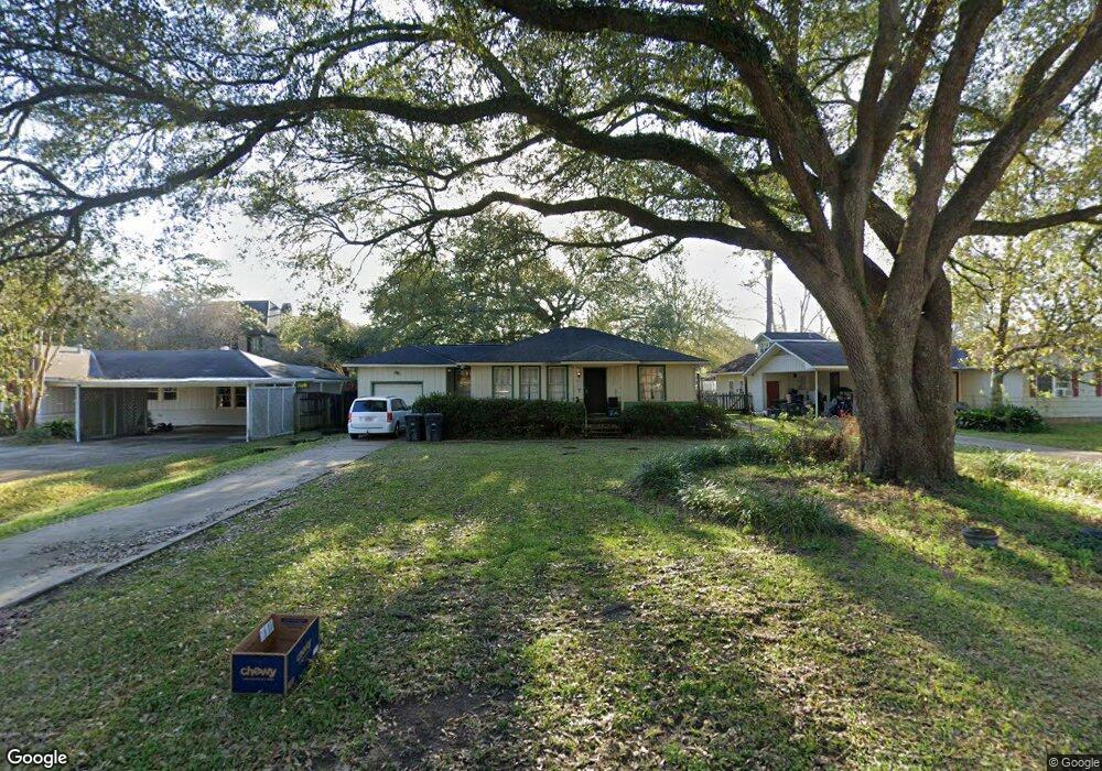
532 Leeward Dr Baton Rouge, LA 70808
Highlands/Perkins NeighborhoodEstimated Value: $202,000 - $462,000
Studio
--
Bath
1,064
Sq Ft
$272/Sq Ft
Est. Value
About This Home
This home is located at 532 Leeward Dr, Baton Rouge, LA 70808 and is currently estimated at $289,924, approximately $272 per square foot. 532 Leeward Dr is a home located in East Baton Rouge Parish with nearby schools including Highland Elementary School, Glasgow Middle School, and McKinley Senior High School.
Ownership History
Date
Name
Owned For
Owner Type
Purchase Details
Closed on
Nov 4, 2019
Sold by
Bourgoyne Darryl Andrew
Bought by
Bourgoyne Darryl Andrew and Sears Julia Anne May
Current Estimated Value
Purchase Details
Closed on
Feb 22, 2016
Bought by
Sears Julia
Home Financials for this Owner
Home Financials are based on the most recent Mortgage that was taken out on this home.
Original Mortgage
$136,822
Outstanding Balance
$106,199
Interest Rate
3.65%
Estimated Equity
$183,725
Create a Home Valuation Report for This Property
The Home Valuation Report is an in-depth analysis detailing your home's value as well as a comparison with similar homes in the area
Home Values in the Area
Average Home Value in this Area
Purchase History
| Date | Buyer | Sale Price | Title Company |
|---|---|---|---|
| Bourgoyne Darryl Andrew | -- | None Available | |
| Sears Julia | -- | -- |
Source: Public Records
Mortgage History
| Date | Status | Borrower | Loan Amount |
|---|---|---|---|
| Open | Sears Julia | $136,822 | |
| Closed | Sears Julia | -- |
Source: Public Records
Tax History
| Year | Tax Paid | Tax Assessment Tax Assessment Total Assessment is a certain percentage of the fair market value that is determined by local assessors to be the total taxable value of land and additions on the property. | Land | Improvement |
|---|---|---|---|---|
| 2025 | $2,189 | $21,280 | $7,500 | $13,780 |
| 2024 | $2,189 | $21,280 | $7,500 | $13,780 |
| 2023 | $2,069 | $15,960 | $7,500 | $8,460 |
| 2022 | $2,271 | $15,960 | $7,500 | $8,460 |
| 2021 | $2,227 | $15,960 | $7,500 | $8,460 |
| 2020 | $2,215 | $15,960 | $7,500 | $8,460 |
| 2019 | $2,242 | $15,500 | $7,500 | $8,000 |
| 2018 | $2,219 | $15,500 | $7,500 | $8,000 |
| 2017 | $2,219 | $15,500 | $7,500 | $8,000 |
| 2016 | $1,395 | $15,500 | $7,500 | $8,000 |
| 2015 | $755 | $10,000 | $7,500 | $2,500 |
| 2014 | $389 | $10,000 | $7,500 | $2,500 |
| 2013 | -- | $10,000 | $7,500 | $2,500 |
Source: Public Records
Map
Nearby Homes
- 5929 Menlo Dr
- 576 College Hill Dr
- 628 College Hill Dr
- 6225 Boone Ave
- 120 University Highlands Ct
- 5344 Boone Ave
- 357 Burgin Ave
- 5802 Highland Rd
- 8008 Highland Rd
- 6168 Chandler Dr
- 621 W Woodruff Dr
- 6222 Highland Rd
- 6326 Highland Rd
- 448 E Woodruff Dr
- 1038 Creek Breeze Ave
- 6710 Highland Rd
- 825 Bourbon Ave
- 471 Lake Breeze Dr
- 4560 Bluebell Dr
- B-1-A Burbank Dr
- 544 Leeward Dr
- 460 Leeward Dr
- 574 Leeward Dr
- 5926 Boone Ave
- 384 Leeward Dr
- Lot 33 Leeward Dr
- Lot 34 Leeward Dr
- 0 Leeward Dr
- 405 Leeward Dr
- 5936 Boone Ave
- 425 Leeward Dr
- 541 Leeward Dr
- 415 Leeward Dr
- 551 Leeward Dr
- 5927 Boone Ave
- 6006 Boone Ave
- 348 Leeward Dr
- 5829 Menlo Dr
- 5935 Boone Ave
- 5858 Boone Ave
Your Personal Tour Guide
Ask me questions while you tour the home.