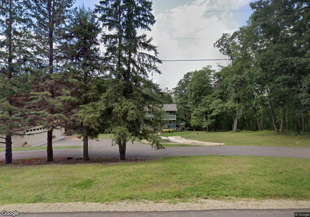
532 Marson Dr Hudson, WI 54016
Troy NeighborhoodEstimated Value: $365,154 - $434,000
Studio
--
Bath
--
Sq Ft
40,075
Sq Ft Lot
About This Home
This home is located at 532 Marson Dr, Hudson, WI 54016 and is currently estimated at $400,039. 532 Marson Dr is a home located in St. Croix County with nearby schools including River Crest Elementary School, Hudson Middle School, and Hudson High School.
Ownership History
Date
Name
Owned For
Owner Type
Purchase Details
Closed on
Dec 16, 2019
Sold by
Pappas George F
Bought by
Pappas George F and Pappas Faith Loretta Ann
Current Estimated Value
Home Financials for this Owner
Home Financials are based on the most recent Mortgage that was taken out on this home.
Original Mortgage
$188,500
Outstanding Balance
$164,836
Interest Rate
3.73%
Mortgage Type
New Conventional
Estimated Equity
$235,203
Purchase Details
Closed on
Apr 15, 2005
Sold by
Johnson Darryl R and Johnson Marilu R
Bought by
Pappas George F
Home Financials for this Owner
Home Financials are based on the most recent Mortgage that was taken out on this home.
Original Mortgage
$189,520
Interest Rate
5.87%
Mortgage Type
Adjustable Rate Mortgage/ARM
Create a Home Valuation Report for This Property
The Home Valuation Report is an in-depth analysis detailing your home's value as well as a comparison with similar homes in the area
Home Values in the Area
Average Home Value in this Area
Purchase History
| Date | Buyer | Sale Price | Title Company |
|---|---|---|---|
| Pappas George F | -- | None Available | |
| Pappas George F | $236,900 | Title One Premier Group |
Source: Public Records
Mortgage History
| Date | Status | Borrower | Loan Amount |
|---|---|---|---|
| Open | Pappas George F | $188,500 | |
| Closed | Pappas George F | $189,520 |
Source: Public Records
Tax History
| Year | Tax Paid | Tax Assessment Tax Assessment Total Assessment is a certain percentage of the fair market value that is determined by local assessors to be the total taxable value of land and additions on the property. | Land | Improvement |
|---|---|---|---|---|
| 2025 | $3,120 | $276,000 | $59,800 | $216,200 |
| 2024 | $26 | $254,800 | $59,800 | $195,000 |
| 2023 | $2,704 | $254,800 | $59,800 | $195,000 |
| 2022 | $2,898 | $254,800 | $59,800 | $195,000 |
| 2021 | $2,849 | $193,500 | $40,500 | $153,000 |
| 2020 | $2,882 | $193,500 | $40,500 | $153,000 |
| 2019 | $2,786 | $193,500 | $40,500 | $153,000 |
| 2018 | $2,705 | $193,500 | $40,500 | $153,000 |
| 2017 | $2,573 | $193,500 | $40,500 | $153,000 |
| 2016 | $2,573 | $193,500 | $40,500 | $153,000 |
| 2015 | $2,363 | $193,500 | $40,500 | $153,000 |
| 2014 | $2,280 | $193,500 | $40,500 | $153,000 |
| 2013 | $2,348 | $193,500 | $40,500 | $153,000 |
Source: Public Records
Map
Nearby Homes
- 570 Coulee Trail
- 90th Tower Rd
- 602 Summerfield Cir
- XXX Gilbert Rd
- 117 Heirloom Ave
- 640 Gilbert Rd
- 421 N Glover Rd
- XXX Tower Rd
- 489 Canyon Blvd
- 54 Tribute Ave
- 28 Heritage Blvd
- 404 Moelter Ln
- 30 Founders Green
- Lot 25 Hanley Rd
- 408 Moelter Ln
- 12 Palomino Ct
- 665 Darnold Dr
- 395 Moelter Ln
- 722 (Lot 40) Crest Curve
- 725 (Lot 53) Crest Curve
- 536 Marson Dr
- 530 Marson Dr
- 531 Marson Dr
- 530 Frances Ave
- 537 Marson Dr
- 525 Marson Dr
- 527 Frances Ave
- 524 Marson Dr
- 521 Old Highway 35 S
- 571 Tower Rd
- 573 Tower Rd
- 538 Frances Ave
- 529 Old Highway 35 S
- 519 Old Highway 35 S
- 529A Old Highway 35
- 574 Tower Rd
- 565 Tower Rd
- 537 Frances Ave
- 520 Frances Ave
- 588 Tower Rd
Your Personal Tour Guide
Ask me questions while you tour the home.