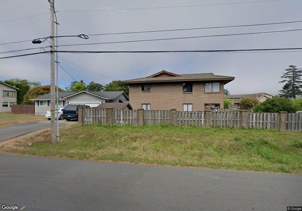
532 Memory Ln Brookings, OR 97415
Estimated Value: $398,302 - $457,000
3
Beds
2
Baths
1,195
Sq Ft
$358/Sq Ft
Est. Value
About This Home
This home is located at 532 Memory Ln, Brookings, OR 97415 and is currently estimated at $427,651, approximately $357 per square foot. 532 Memory Ln is a home located in Curry County with nearby schools including Kalmiopsis Elementary School, Azalea Middle School, and Brookings-Harbor High School.
Ownership History
Date
Name
Owned For
Owner Type
Purchase Details
Closed on
Sep 25, 2017
Sold by
Palmerin Richard A
Bought by
Palmerin Richard A and Palmerin Jessica Erin
Current Estimated Value
Purchase Details
Closed on
Aug 14, 2017
Sold by
Palmerin Richard A
Bought by
Palmerin Richard A and Palmerin Jessica Erin
Purchase Details
Closed on
May 19, 2015
Sold by
Green Lucile R and Green Charles L
Bought by
Palmerin Richard A
Home Financials for this Owner
Home Financials are based on the most recent Mortgage that was taken out on this home.
Original Mortgage
$177,045
Outstanding Balance
$135,093
Interest Rate
3.5%
Mortgage Type
FHA
Estimated Equity
$292,558
Create a Home Valuation Report for This Property
The Home Valuation Report is an in-depth analysis detailing your home's value as well as a comparison with similar homes in the area
Home Values in the Area
Average Home Value in this Area
Purchase History
| Date | Buyer | Sale Price | Title Company |
|---|---|---|---|
| Palmerin Richard A | -- | None Available | |
| Palmerin Richard A | -- | None Available | |
| Palmerin Richard A | $184,000 | First American Title Company |
Source: Public Records
Mortgage History
| Date | Status | Borrower | Loan Amount |
|---|---|---|---|
| Open | Palmerin Richard A | $177,045 |
Source: Public Records
Tax History
| Year | Tax Paid | Tax Assessment Tax Assessment Total Assessment is a certain percentage of the fair market value that is determined by local assessors to be the total taxable value of land and additions on the property. | Land | Improvement |
|---|---|---|---|---|
| 2025 | $1,809 | $191,380 | -- | -- |
| 2024 | $1,756 | $185,810 | -- | -- |
| 2023 | $1,705 | $180,400 | $0 | $0 |
| 2022 | $1,656 | $175,150 | -- | -- |
| 2021 | $1,607 | $170,050 | $0 | $0 |
| 2020 | $1,659 | $165,100 | $0 | $0 |
| 2019 | $1,524 | $160,300 | $0 | $0 |
| 2018 | $1,589 | $155,640 | $0 | $0 |
| 2017 | $1,530 | $155,640 | $0 | $0 |
| 2016 | $1,493 | $151,110 | $0 | $0 |
Source: Public Records
Map
Nearby Homes
- 219 Schooner Bay Dr
- 425 Memory Ln
- 0 Edge Cliff Dr Unit 11
- 438 Buena Vista Loop
- 210 Schooner Bay Dr
- 20 Seascape Ct
- 19 Otter Terrace
- 204 Schooner Bay Dr
- 0 Otter Terrace Unit 131041760
- 237 Wharf St
- 531 Hemlock St
- 425 Railroad St
- 842 Chetco Point Terrace
- 325 Railroad St
- 222 Del Norte Ln Unit 8
- 403 Linden Ln
- 322 Del Norte Ln
- 328 Spruce Dr
- 616 Pacific Ave
- 542 Pacific Ave
Your Personal Tour Guide
Ask me questions while you tour the home.