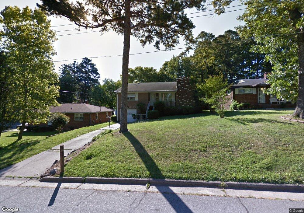
532 Radford St High Point, NC 27260
Greater High Point NeighborhoodEstimated Value: $120,000 - $221,000
3
Beds
2
Baths
1,362
Sq Ft
$129/Sq Ft
Est. Value
About This Home
This home is located at 532 Radford St, High Point, NC 27260 and is currently estimated at $175,234, approximately $128 per square foot. 532 Radford St is a home located in Guilford County with nearby schools including Parkview Village Elementary School, Southwest Guilford Middle School, and Southwest Guilford High School.
Ownership History
Date
Name
Owned For
Owner Type
Purchase Details
Closed on
Sep 27, 2010
Sold by
Clemmons Norma J
Bought by
Alston William T and Alston Bettye
Current Estimated Value
Home Financials for this Owner
Home Financials are based on the most recent Mortgage that was taken out on this home.
Original Mortgage
$47,900
Outstanding Balance
$30,630
Interest Rate
3.75%
Mortgage Type
New Conventional
Estimated Equity
$144,604
Create a Home Valuation Report for This Property
The Home Valuation Report is an in-depth analysis detailing your home's value as well as a comparison with similar homes in the area
Home Values in the Area
Average Home Value in this Area
Purchase History
| Date | Buyer | Sale Price | Title Company |
|---|---|---|---|
| Alston William T | $59,000 | None Available |
Source: Public Records
Mortgage History
| Date | Status | Borrower | Loan Amount |
|---|---|---|---|
| Open | Alston William T | $47,900 |
Source: Public Records
Tax History
| Year | Tax Paid | Tax Assessment Tax Assessment Total Assessment is a certain percentage of the fair market value that is determined by local assessors to be the total taxable value of land and additions on the property. | Land | Improvement |
|---|---|---|---|---|
| 2025 | $1,180 | $85,600 | $15,000 | $70,600 |
| 2024 | $1,180 | $85,600 | $15,000 | $70,600 |
| 2023 | $1,180 | $85,600 | $15,000 | $70,600 |
| 2022 | $1,154 | $85,600 | $15,000 | $70,600 |
| 2021 | $803 | $58,300 | $8,000 | $50,300 |
| 2020 | $803 | $58,300 | $8,000 | $50,300 |
| 2019 | $803 | $58,300 | $0 | $0 |
| 2018 | $799 | $58,300 | $0 | $0 |
| 2017 | $803 | $58,300 | $0 | $0 |
| 2016 | $968 | $69,000 | $0 | $0 |
| 2015 | $973 | $69,000 | $0 | $0 |
| 2014 | $989 | $69,000 | $0 | $0 |
Source: Public Records
Map
Nearby Homes
- 1012 Meadowbrook Blvd
- 504 Ellwood Dr
- 1508 Boundary Ave
- 1602 Boundary Ave
- 1604 Boundary Ave
- 1606 Boundary Ave
- 828 Circle Dr
- 1308 Boundary Ave
- 1120 Carolina St
- 2209 Gable Way
- 205 Beach St
- 1519 Mcguinn Dr
- 1702 Brockett Ave
- 1707 Brockett Ave
- 1445 Bailey Cir
- 1504 East Ave
- 1506 East Ave
- 844 Willow Place
- 1604 E Lexington Ave
- 837 Willow Place
Your Personal Tour Guide
Ask me questions while you tour the home.