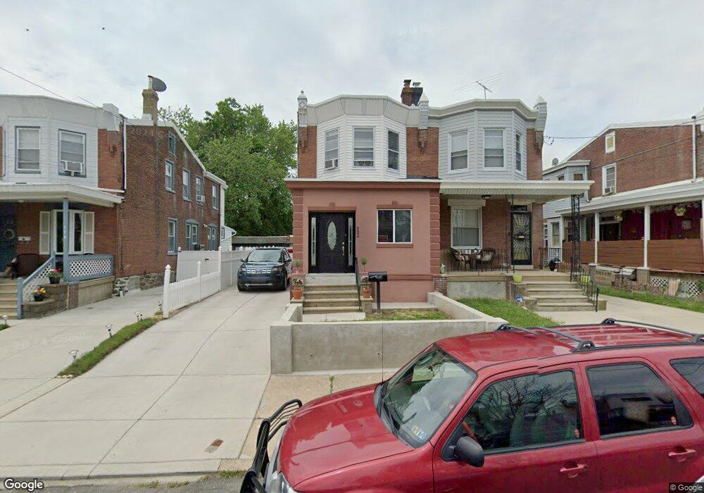
532 Robbins St Philadelphia, PA 19111
Lawncrest NeighborhoodEstimated Value: $267,000 - $285,017
3
Beds
1
Bath
1,500
Sq Ft
$184/Sq Ft
Est. Value
About This Home
This home is located at 532 Robbins St, Philadelphia, PA 19111 and is currently estimated at $275,754, approximately $183 per square foot. 532 Robbins St is a home located in Philadelphia County with nearby schools including J. Hampton Moore School, Castor Gardens Middle School, and Northeast High School.
Ownership History
Date
Name
Owned For
Owner Type
Purchase Details
Closed on
Apr 10, 2006
Sold by
Ramos Edward and Ramos Ineabelle
Bought by
Joubert Maria H
Current Estimated Value
Purchase Details
Closed on
Dec 30, 1997
Sold by
Soltan Richard D and Ananian Carl
Bought by
Ramos Edward and Ramos Ineabelle
Purchase Details
Closed on
Jan 23, 1997
Sold by
Goldenberg Joseph and Ananian Veronica Der
Bought by
Ananian Carl
Create a Home Valuation Report for This Property
The Home Valuation Report is an in-depth analysis detailing your home's value as well as a comparison with similar homes in the area
Home Values in the Area
Average Home Value in this Area
Purchase History
| Date | Buyer | Sale Price | Title Company |
|---|---|---|---|
| Joubert Maria H | $65,243 | None Available | |
| Ramos Edward | $60,000 | -- | |
| Ananian Carl | -- | -- |
Source: Public Records
Tax History Compared to Growth
Tax History
| Year | Tax Paid | Tax Assessment Tax Assessment Total Assessment is a certain percentage of the fair market value that is determined by local assessors to be the total taxable value of land and additions on the property. | Land | Improvement |
|---|---|---|---|---|
| 2025 | $2,854 | $252,100 | $50,420 | $201,680 |
| 2024 | $2,854 | $252,100 | $50,420 | $201,680 |
| 2023 | $2,854 | $203,900 | $40,780 | $163,120 |
| 2022 | $2,224 | $158,900 | $40,780 | $118,120 |
| 2021 | $2,177 | $0 | $0 | $0 |
| 2020 | $2,177 | $0 | $0 | $0 |
| 2019 | $2,089 | $0 | $0 | $0 |
| 2018 | $1,933 | $0 | $0 | $0 |
| 2017 | $1,933 | $0 | $0 | $0 |
| 2016 | $486 | $0 | $0 | $0 |
| 2015 | $1,449 | $0 | $0 | $0 |
| 2014 | -- | $138,100 | $48,300 | $89,800 |
| 2012 | -- | $20,800 | $4,492 | $16,308 |
Source: Public Records
Map
Nearby Homes
- 615 Robbins St
- 6313 Bingham St
- 6339 Bingham St
- 6253 Lawndale Ave
- 6126-28 Bingham St
- 454 Devereaux Ave
- 6111 Palmetto St
- 6424 Bingham St
- 6101 Colgate St
- 6040 Lawndale Ave
- 6422 Argyle St
- 354 Devereaux Ave
- 6324 Shelbourne St
- 6340 Martins Mill Rd
- 318 Devereaux Ave
- 335 Passmore St
- 528 Magee Ave
- 542-48 Magee Ave
- 5943 Malta St
- 5939 Malta St
- 534 Robbins St
- 530 Robbins St
- 536 Robbins St
- 528 Robbins St
- 526 Robbins St
- 538 Robbins St
- 524 Robbins St
- 540 Robbins St
- 541 Mckinley St
- 543 Mckinley St Unit 1
- 543 Mckinley St
- 6230 Bingham St
- 522 Robbins St
- 537 Mckinley St
- 6228 Bingham St
- 529 Mckinley St
- 529-31 Mckinley St
- 529 Robbins St
- 527 Robbins St
- 531 Robbins St