532 Saint Sambar Dr Unit 75 Ellenwood, GA 30294
Estimated Value: $51,000 - $951,232
--
Bed
--
Bath
--
Sq Ft
0.7
Acres
About This Home
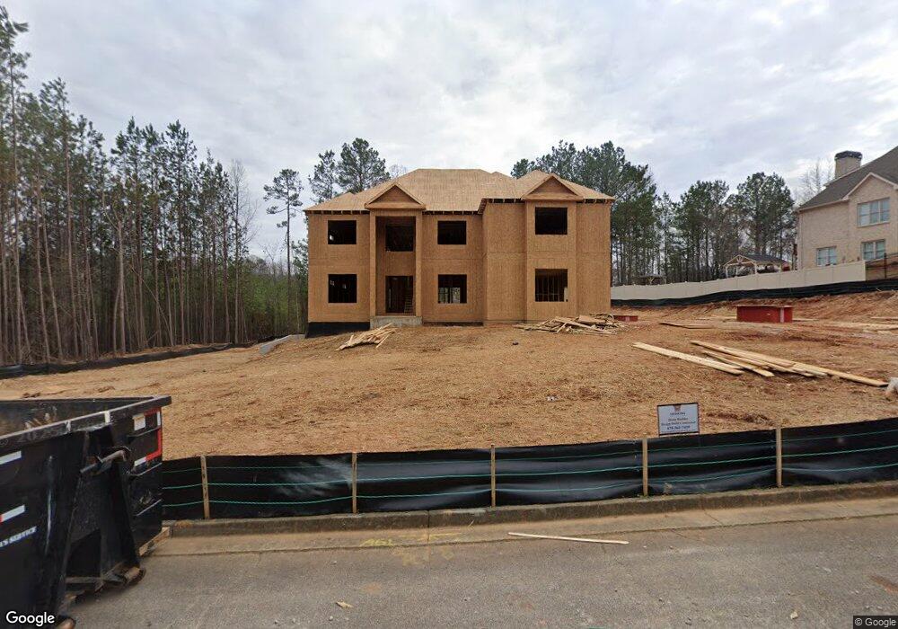
This home is located at 532 Saint Sambar Dr Unit 75, Ellenwood, GA 30294 and is currently estimated at $620,077. 532 Saint Sambar Dr Unit 75 is a home located in Henry County with nearby schools including Austin Road Elementary School, Austin Road Middle School, and Woodland High School.
Ownership History
Date
Name
Owned For
Owner Type
Purchase Details
Closed on
Sep 30, 2025
Sold by
Samkins Construction Inc
Bought by
Jones Latronda M
Current Estimated Value
Home Financials for this Owner
Home Financials are based on the most recent Mortgage that was taken out on this home.
Original Mortgage
$806,500
Outstanding Balance
$805,771
Interest Rate
6.5%
Mortgage Type
Purchase Money Mortgage
Estimated Equity
-$185,694
Purchase Details
Closed on
Apr 23, 2024
Sold by
Nidus Chapel Ridge Llc
Bought by
Samkins Construction Inc
Purchase Details
Closed on
Mar 28, 2014
Sold by
Peoples Bank
Bought by
Nidus Chapel Ridge Llc
Create a Home Valuation Report for This Property
The Home Valuation Report is an in-depth analysis detailing your home's value as well as a comparison with similar homes in the area
Home Values in the Area
Average Home Value in this Area
Purchase History
| Date | Buyer | Sale Price | Title Company |
|---|---|---|---|
| Jones Latronda M | $1,046,604 | -- | |
| Samkins Construction Inc | $50,000 | -- | |
| Nidus Chapel Ridge Llc | $312,525 | -- |
Source: Public Records
Mortgage History
| Date | Status | Borrower | Loan Amount |
|---|---|---|---|
| Open | Jones Latronda M | $806,500 |
Source: Public Records
Tax History Compared to Growth
Tax History
| Year | Tax Paid | Tax Assessment Tax Assessment Total Assessment is a certain percentage of the fair market value that is determined by local assessors to be the total taxable value of land and additions on the property. | Land | Improvement |
|---|---|---|---|---|
| 2025 | $834 | $20,000 | $20,000 | $0 |
| 2024 | $834 | $20,000 | $20,000 | $0 |
| 2023 | $734 | $18,000 | $18,000 | $0 |
| 2022 | $734 | $18,000 | $18,000 | $0 |
| 2021 | $734 | $18,000 | $18,000 | $0 |
| 2020 | $503 | $12,000 | $12,000 | $0 |
| 2019 | $503 | $12,000 | $12,000 | $0 |
| 2018 | $503 | $12,000 | $12,000 | $0 |
| 2016 | $427 | $10,000 | $10,000 | $0 |
| 2015 | $391 | $8,800 | $8,800 | $0 |
| 2014 | $152 | $2,720 | $2,720 | $0 |
Source: Public Records
Map
Nearby Homes
- 429 Saint Surrey Way
- 500 Saint Sambar Dr
- 160 Chapel Ridge Dr
- 0 Kingsbrook Dr Unit 19 LOTS 10399843
- 168 Chapel Ridge Dr
- 565 Scarborough Rd
- 116 Kalsum Trail
- 176 Fairoaks Cir
- 444 Cauthen Ct
- 4241 Hearn Rd
- 106 Garden Trail
- 107 S Circle Dr
- 204 Benefield Ct
- 963 Blackberry Ct
- 1414 Panola Rd
- 130 Fairview Dr
- 103 N Circle Dr
- 907 Strawberry Ct
- 313 Ashborough Place
- 5520 Hearn Rd
- 528 Saint Sambar Dr Unit 74
- 528 Saint Sambar Dr
- 433 Saint Surrey Way Unit 58
- 433 Saint Surrey Way
- 524 Saint Sambar Dr Unit 73
- 524 Saint Sambar Dr
- 701 Saint Jude Ct
- 429 Saint Surrey Way Unit 59
- 520 Saint Sambar Dr Unit 2
- 425 Saint Surrey Way Unit 60
- 425 Saint Surrey Way
- 0 Saint Sambar Dr Unit 7363804
- 0 Saint Sambar Dr Unit 10121295
- 0 Saint Sambar Dr Unit 7161416
- 600 Saint Christopher Ln
- 604 Saint Christopher Ln
- 516 Saint Sambar Dr
- 535 Saint Sambar Dr Unit 81
- 535 Saint Sambar Dr
- 535 Saint Sambar Dr