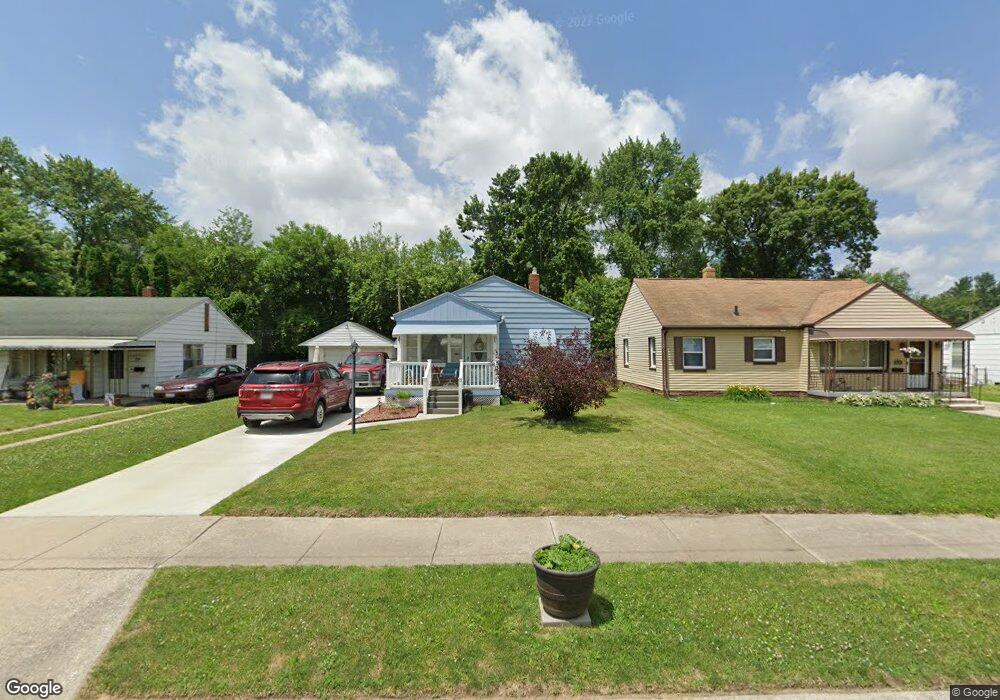
532 Shea St Toledo, OH 43609
Southside NeighborhoodEstimated Value: $51,000 - $73,000
2
Beds
1
Bath
768
Sq Ft
$81/Sq Ft
Est. Value
About This Home
This home is located at 532 Shea St, Toledo, OH 43609 and is currently estimated at $62,537, approximately $81 per square foot. 532 Shea St is a home located in Lucas County with nearby schools including Burroughs Elementary School, Bowsher High School, and Explorers Academy of Science and Technology.
Ownership History
Date
Name
Owned For
Owner Type
Purchase Details
Closed on
Feb 24, 2010
Sold by
Beneteau Susan M and Krzyminski Susan M
Bought by
Beneteau Susan M and Beneteau Raymond J
Current Estimated Value
Purchase Details
Closed on
Jan 12, 1993
Sold by
Herwat Robert
Purchase Details
Closed on
Oct 3, 1991
Sold by
Herwat Robert and Herwat Patricia #
Purchase Details
Closed on
Feb 7, 1990
Sold by
Herwat Robert
Create a Home Valuation Report for This Property
The Home Valuation Report is an in-depth analysis detailing your home's value as well as a comparison with similar homes in the area
Home Values in the Area
Average Home Value in this Area
Purchase History
| Date | Buyer | Sale Price | Title Company |
|---|---|---|---|
| Beneteau Susan M | -- | Attorney | |
| -- | $40,000 | -- | |
| -- | -- | -- | |
| -- | $12,000 | -- |
Source: Public Records
Tax History Compared to Growth
Tax History
| Year | Tax Paid | Tax Assessment Tax Assessment Total Assessment is a certain percentage of the fair market value that is determined by local assessors to be the total taxable value of land and additions on the property. | Land | Improvement |
|---|---|---|---|---|
| 2024 | $580 | $17,920 | $5,950 | $11,970 |
| 2023 | $1,112 | $16,520 | $3,885 | $12,635 |
| 2022 | $1,111 | $16,520 | $3,885 | $12,635 |
| 2021 | $1,135 | $16,520 | $3,885 | $12,635 |
| 2020 | $1,184 | $15,260 | $3,570 | $11,690 |
| 2019 | $1,155 | $15,260 | $3,570 | $11,690 |
| 2018 | $1,165 | $15,260 | $3,570 | $11,690 |
| 2017 | $1,181 | $14,910 | $3,500 | $11,410 |
| 2016 | $1,184 | $42,600 | $10,000 | $32,600 |
| 2015 | $1,174 | $42,600 | $10,000 | $32,600 |
| 2014 | $938 | $14,910 | $3,500 | $11,410 |
| 2013 | $938 | $14,910 | $3,500 | $11,410 |
Source: Public Records
Map
Nearby Homes
- 2828 South Ave
- 2437 Airport Hwy
- 576 Bronx Dr
- 546 Elmdale Rd
- 541 Apple Ave
- 663 Foredale Ave
- 638 Foredale Ave
- 728 Foredale Ave
- 560 Williamsville Ave
- 2126 Airport Hwy
- 518 Myers St
- 304 Mayberry St
- 321 Mayberry St
- 440 Somerset St
- 226 Somerset St
- 838 Wylie Ave
- 552 Wyman St
- 221 Somerset St
- 531 Shasta Dr
- 224 S Fearing Blvd