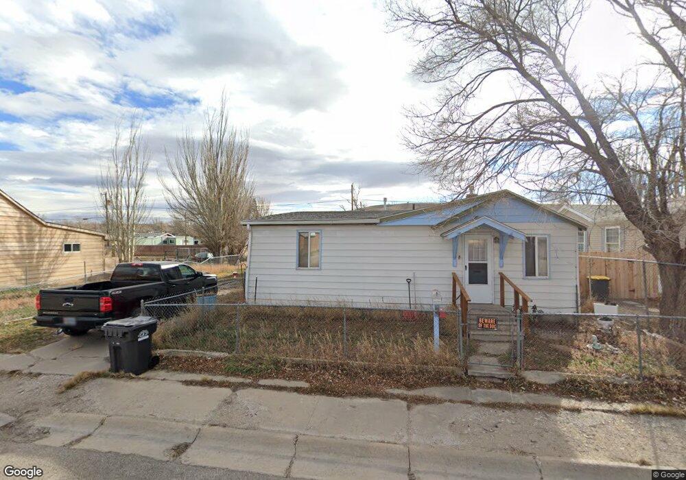
532 W Hugus St Rawlins, WY 82301
Estimated Value: $124,000 - $147,000
--
Bed
--
Bath
1,248
Sq Ft
$111/Sq Ft
Est. Value
About This Home
This home is located at 532 W Hugus St, Rawlins, WY 82301 and is currently estimated at $138,001, approximately $110 per square foot. 532 W Hugus St is a home with nearby schools including Rawlins Elementary School, Rawlins Middle School, and Rawlins High School.
Ownership History
Date
Name
Owned For
Owner Type
Purchase Details
Closed on
Nov 22, 2006
Sold by
Langenderfer Harold John and Langenderfer Chantell Spring
Bought by
Stokes Amanda L and Stokes Vivien V
Current Estimated Value
Home Financials for this Owner
Home Financials are based on the most recent Mortgage that was taken out on this home.
Original Mortgage
$84,245
Outstanding Balance
$50,020
Interest Rate
6.37%
Mortgage Type
FHA
Estimated Equity
$87,981
Create a Home Valuation Report for This Property
The Home Valuation Report is an in-depth analysis detailing your home's value as well as a comparison with similar homes in the area
Home Values in the Area
Average Home Value in this Area
Purchase History
| Date | Buyer | Sale Price | Title Company |
|---|---|---|---|
| Stokes Amanda L | -- | None Available |
Source: Public Records
Mortgage History
| Date | Status | Borrower | Loan Amount |
|---|---|---|---|
| Open | Stokes Amanda L | $84,245 |
Source: Public Records
Tax History Compared to Growth
Tax History
| Year | Tax Paid | Tax Assessment Tax Assessment Total Assessment is a certain percentage of the fair market value that is determined by local assessors to be the total taxable value of land and additions on the property. | Land | Improvement |
|---|---|---|---|---|
| 2025 | $832 | $9,182 | $2,230 | $6,952 |
| 2024 | $832 | $11,524 | $2,859 | $8,665 |
| 2023 | $840 | $11,637 | $2,776 | $8,861 |
| 2022 | $747 | $10,206 | $2,776 | $7,430 |
| 2021 | $747 | $9,987 | $2,776 | $7,211 |
| 2020 | $720 | $29,895 | $8,328 | $21,567 |
| 2019 | $709 | $9,863 | $2,776 | $7,087 |
| 2018 | $684 | $9,356 | $2,776 | $6,580 |
| 2017 | $674 | $9,275 | $2,776 | $6,499 |
| 2016 | $650 | $8,947 | $2,316 | $6,631 |
| 2015 | -- | $8,955 | $2,316 | $6,639 |
| 2014 | -- | $7,495 | $2,227 | $5,268 |
Source: Public Records
Map
Nearby Homes
- 527 W Hugus St
- 502 W State St
- 506 W State St
- 719 W State St
- 608 W State St
- 304 W Center St
- 809 W Cedar St
- 623 W Buffalo St
- 711 W Buffalo St
- 500 Madison St
- 419 6th St
- 618 W Spruce St
- 305 E Center St
- 0 Interstate 80
- 309 E Center St
- 923 W Pine St
- Tract 1 Blk 2 Monroe St
- Tract 3 Blk 1 Monroe St
- PT NW 1/4 Sec Monroe St
- 208 E Pine St
- 534 W Hugus St
- 524 W Hugus St
- 540 W Hugus St
- 208 W Hugus St
- 523 W Hugus St
- 518 W Hugus St
- 548 W Hugus St
- 529 W Davis St
- 539 W Hugus St
- 545 W Davis St Unit Jackson
- 545 W Davis St
- 547 W Hugus St
- 519 W Hugus St
- 602 W Hugus St
- 530 W State St
- 528 W State St
- 538 W State St Unit 6th
- 538 W State St
- 534 W State St
- 120 W Davis St