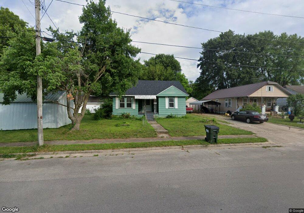
532 W Pierce St Lebanon, MO 65536
Estimated Value: $88,000 - $123,745
2
Beds
1
Bath
--
Sq Ft
10,019
Sq Ft Lot
About This Home
This home is located at 532 W Pierce St, Lebanon, MO 65536 and is currently estimated at $107,186. 532 W Pierce St is a home located in Laclede County with nearby schools including Joe D. Esther Elementary School, Maplecrest Elementary School, and Boswell Elementary School.
Ownership History
Date
Name
Owned For
Owner Type
Purchase Details
Closed on
Sep 22, 2010
Sold by
Federal National Mortgage Association
Bought by
Hopkins Rentals Llc
Current Estimated Value
Purchase Details
Closed on
Apr 12, 2010
Sold by
Knight George E and Knight Lisa R
Bought by
Fannie Mae
Purchase Details
Closed on
Dec 21, 2007
Sold by
Ivey Patricia
Bought by
Knight George E and Knight Lisa R
Home Financials for this Owner
Home Financials are based on the most recent Mortgage that was taken out on this home.
Original Mortgage
$33,950
Interest Rate
6.26%
Mortgage Type
New Conventional
Create a Home Valuation Report for This Property
The Home Valuation Report is an in-depth analysis detailing your home's value as well as a comparison with similar homes in the area
Home Values in the Area
Average Home Value in this Area
Purchase History
| Date | Buyer | Sale Price | Title Company |
|---|---|---|---|
| Hopkins Rentals Llc | -- | None Available | |
| Fannie Mae | $29,701 | None Available | |
| Knight George E | $35,000 | None Available |
Source: Public Records
Mortgage History
| Date | Status | Borrower | Loan Amount |
|---|---|---|---|
| Previous Owner | Knight George E | $33,950 |
Source: Public Records
Tax History Compared to Growth
Tax History
| Year | Tax Paid | Tax Assessment Tax Assessment Total Assessment is a certain percentage of the fair market value that is determined by local assessors to be the total taxable value of land and additions on the property. | Land | Improvement |
|---|---|---|---|---|
| 2025 | $331 | $6,560 | $0 | $0 |
| 2024 | $331 | $5,810 | $0 | $0 |
| 2023 | $341 | $5,810 | $0 | $0 |
| 2022 | $318 | $5,810 | $0 | $0 |
| 2021 | $350 | $5,814 | $1,254 | $4,560 |
| 2020 | $352 | $5,814 | $1,254 | $4,560 |
| 2019 | $337 | $5,810 | $1,250 | $4,560 |
| 2018 | $316 | $5,810 | $1,250 | $4,560 |
| 2017 | $330 | $5,810 | $0 | $0 |
| 2016 | $330 | $5,810 | $0 | $0 |
| 2015 | $330 | $5,810 | $0 | $0 |
| 2014 | $330 | $6,380 | $0 | $0 |
| 2013 | -- | $6,380 | $0 | $0 |
Source: Public Records
Map
Nearby Homes
- 545 W Pierce St
- 406 Perry St
- 704 W 2nd St
- 100 State Highway 32
- 14300 State Highway 32
- 22781 U S Route 66
- 000 #25 U S Route 66
- 000-#72 U S Route 66
- 000#72 U S Route 66
- 000#25 U S Route 66
- 286 Polk Ave
- 31 Greenwood Dr
- 22 Stanwood Dr
- 387 Harrison St
- 639 W 4th St
- 475 Harrison St
- Lot 20 Missouri 64
- 1719 State Hwy 64
- 015 Missouri 64
- Lot 19 Missouri 64
- 544 W Pierce St
- 323 Clough St
- 311 Clough St
- 548 W Pierce St
- 335 Clough St
- 556 W Pierce St
- 533 W Pierce St
- 486 W Pierce St
- 560 W Pierce St
- 285 Clough St
- 387 Clough St
- 275 Clough St
- 537 W Hayes St
- 549 W Pierce St
- 474 & 486 Pierce St
- 535 W Hayes St
- 564 W Pierce St
- 319 Clough St
- 474 W Pierce St
- 555 W Pierce St