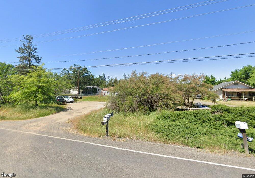
532 Wilson Rd Central Point, OR 97502
Estimated Value: $342,303 - $378,000
3
Beds
1
Bath
1,260
Sq Ft
$289/Sq Ft
Est. Value
About This Home
This home is located at 532 Wilson Rd, Central Point, OR 97502 and is currently estimated at $364,768, approximately $289 per square foot. 532 Wilson Rd is a home located in Jackson County with nearby schools including Jewett Elementary School, Scenic Middle School, and Crater High School.
Ownership History
Date
Name
Owned For
Owner Type
Purchase Details
Closed on
Nov 14, 2007
Sold by
Corning Gerald E and Corning Kathy
Bought by
Pear Valley Inc
Current Estimated Value
Purchase Details
Closed on
Nov 22, 2005
Sold by
Corning Gerald Edward
Bought by
Eary Kathy Joyce
Purchase Details
Closed on
Dec 19, 2001
Sold by
Zieman Gerald A
Bought by
Corning Gerald E and Corning Kathy
Home Financials for this Owner
Home Financials are based on the most recent Mortgage that was taken out on this home.
Original Mortgage
$106,300
Interest Rate
8.25%
Create a Home Valuation Report for This Property
The Home Valuation Report is an in-depth analysis detailing your home's value as well as a comparison with similar homes in the area
Purchase History
| Date | Buyer | Sale Price | Title Company |
|---|---|---|---|
| Pear Valley Inc | $126,500 | None Available | |
| Eary Kathy Joyce | -- | -- | |
| Corning Gerald E | $132,900 | First American Title Ins Co |
Source: Public Records
Mortgage History
| Date | Status | Borrower | Loan Amount |
|---|---|---|---|
| Previous Owner | Corning Gerald E | $106,300 | |
| Closed | Corning Gerald E | $26,550 |
Source: Public Records
Tax History
| Year | Tax Paid | Tax Assessment Tax Assessment Total Assessment is a certain percentage of the fair market value that is determined by local assessors to be the total taxable value of land and additions on the property. | Land | Improvement |
|---|---|---|---|---|
| 2026 | $2,116 | $177,670 | -- | -- |
| 2025 | $2,068 | $172,500 | $116,890 | $55,610 |
| 2024 | $2,068 | $167,480 | $64,900 | $102,580 |
| 2023 | $1,999 | $162,610 | $63,010 | $99,600 |
| 2022 | $1,957 | $162,610 | $63,010 | $99,600 |
| 2021 | $1,901 | $157,880 | $61,170 | $96,710 |
| 2020 | $1,846 | $153,290 | $59,400 | $93,890 |
| 2019 | $1,804 | $144,500 | $55,990 | $88,510 |
| 2018 | $1,748 | $140,300 | $54,360 | $85,940 |
| 2017 | $1,707 | $140,300 | $54,360 | $85,940 |
| 2016 | $1,657 | $132,260 | $51,240 | $81,020 |
| 2015 | $1,596 | $132,260 | $51,240 | $81,020 |
| 2014 | $1,558 | $124,670 | $48,300 | $76,370 |
Source: Public Records
Map
Nearby Homes
- 225 Wilson Rd
- 2460 Jeremy St
- 1653 Kentucky Ct
- 1409 Twin Rocks Dr
- 875 N Mountain Ave
- 4726 Gebhard Rd
- 1121 Annalise St
- 4722 Gebhard Rd
- 1113 Annalise St
- 1109 Annalise St
- 446 Beebe Rd
- 594 W Gregory Rd
- 4595 Table Rock Rd
- 0 Peninger Rd
- 4399 Table Rock Rd
- 201 Orchardview Cir
- 4286 Hamrick Rd
- 1840 E Pine St
- 1600 E Pine St
- 4404 Biddle Rd
Your Personal Tour Guide
Ask me questions while you tour the home.