5320 Austin Rd Camden, MI 49232
Estimated Value: $240,000 - $543,000
Studio
--
Bath
1,184
Sq Ft
$372/Sq Ft
Est. Value
About This Home
This home is located at 5320 Austin Rd, Camden, MI 49232 and is currently estimated at $440,847, approximately $372 per square foot. 5320 Austin Rd is a home with nearby schools including Camden-Frontier K-8 School, Camden-Frontier High School, and Ridgeview Camden School.
Ownership History
Date
Name
Owned For
Owner Type
Purchase Details
Closed on
Oct 31, 2001
Sold by
Pike William G and Pike Lyubov Y
Bought by
Delagrange Menno and Delagrange Maggie
Current Estimated Value
Purchase Details
Closed on
Oct 15, 1993
Bought by
Pike William
Purchase Details
Closed on
Oct 28, 1989
Sold by
Lemmon Lyle B and Lemmon Margaret M
Bought by
Pike William G and Murray Nora T
Purchase Details
Closed on
Jul 13, 1989
Sold by
Pike Deborah E
Bought by
Pike William G
Purchase Details
Closed on
Nov 10, 1984
Sold by
Lemmon Lyle B and Lemmon Margaret M
Bought by
Pike William G and Pike Deborah E
Create a Home Valuation Report for This Property
The Home Valuation Report is an in-depth analysis detailing your home's value as well as a comparison with similar homes in the area
Purchase History
| Date | Buyer | Sale Price | Title Company |
|---|---|---|---|
| Delagrange Menno | $125,000 | -- | |
| Pike William | $65,900 | -- | |
| Pike William G | $49,100 | -- | |
| Pike William G | -- | -- | |
| Pike William G | $61,800 | -- |
Source: Public Records
Tax History
| Year | Tax Paid | Tax Assessment Tax Assessment Total Assessment is a certain percentage of the fair market value that is determined by local assessors to be the total taxable value of land and additions on the property. | Land | Improvement |
|---|---|---|---|---|
| 2025 | $1,306 | $235,800 | $0 | $0 |
| 2024 | $13 | $211,900 | $0 | $0 |
| 2023 | $1,213 | $158,700 | $0 | $0 |
| 2022 | $2,553 | $145,200 | $0 | $0 |
| 2021 | $2,474 | $145,500 | $0 | $0 |
| 2020 | $1,732 | $115,900 | $0 | $0 |
| 2019 | $1,668 | $112,500 | $0 | $0 |
| 2018 | $1,606 | $107,800 | $0 | $0 |
| 2017 | $1,565 | $107,510 | $0 | $0 |
| 2016 | $1,543 | $103,380 | $0 | $0 |
| 2015 | $705 | $103,380 | $0 | $0 |
| 2013 | $683 | $62,330 | $0 | $0 |
| 2012 | $907 | $82,760 | $0 | $0 |
Source: Public Records
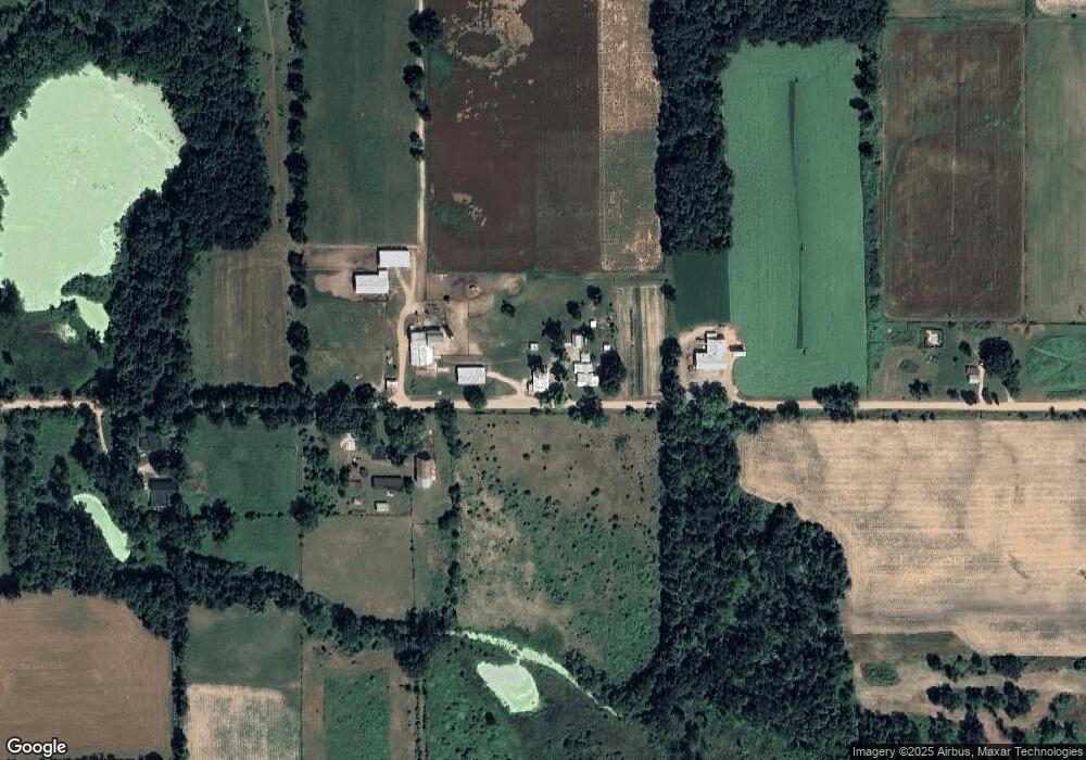
Map
Nearby Homes
- 0 W Territorial Rd Unit 11603977
- 1601 W Territorial Rd
- 107 Mary St
- 14705 Woodbridge Rd
- 13550 Monte Carlo Dr
- 14934 Heather Ct
- 13091 S Bird Lake Rd
- W Territorial Rd
- 14364 Horn Dr
- 14600 W Diane Dr
- 3711 County Rd S
- 0 Dimmers Rd
- 10220 Woodbridge Rd
- 13551 Hillsdale Rd
- 8877 W Territorial Rd
- 9677 W Camden Rd
- 9911 Lake Dr
- 7944 Gilmore Rd
- 460 Seneca Dr
- 623-624 Yuma Trail
- 5040 Austin Rd
- 13151 Gilmore Rd
- 12975 Gilmore Rd
- 5451 Austin Rd
- 5551 Austin Rd
- 4811 Austin Rd
- 13260 Gilmore Rd
- 5660 Austin Rd
- 4800 Austin Rd
- 12300 Gilmore Rd
- 5725 Austin Rd
- 12321 Gilmore Rd
- 4651 Austin Rd
- 5771 Austin Rd
- 4591 Austin Rd
- 12251 Gilmore Rd
- 5820 Austin Rd
- 12551 Gilmore Rd
- 4500 Austin Rd
- 4451 Austin Rd
Your Personal Tour Guide
Ask me questions while you tour the home.