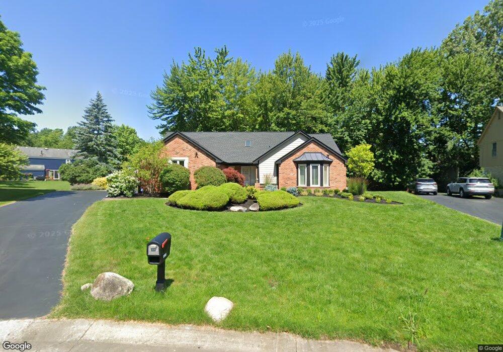
5320 Cedar Grove Ct West Bloomfield, MI 48322
Estimated Value: $463,000 - $568,834
3
Beds
4
Baths
2,372
Sq Ft
$220/Sq Ft
Est. Value
About This Home
This home is located at 5320 Cedar Grove Ct, West Bloomfield, MI 48322 and is currently estimated at $521,209, approximately $219 per square foot. 5320 Cedar Grove Ct is a home located in Oakland County with nearby schools including Sheiko Elementary School, West Bloomfield Middle School, and The Susan And Rabbi Harold Loss Ecc.
Ownership History
Date
Name
Owned For
Owner Type
Purchase Details
Closed on
Jun 24, 2005
Sold by
Rick John J and Rick Nancy P
Bought by
Menzies Williams Barbara
Current Estimated Value
Home Financials for this Owner
Home Financials are based on the most recent Mortgage that was taken out on this home.
Original Mortgage
$260,000
Outstanding Balance
$135,123
Interest Rate
5.69%
Mortgage Type
Fannie Mae Freddie Mac
Estimated Equity
$386,086
Create a Home Valuation Report for This Property
The Home Valuation Report is an in-depth analysis detailing your home's value as well as a comparison with similar homes in the area
Home Values in the Area
Average Home Value in this Area
Purchase History
| Date | Buyer | Sale Price | Title Company |
|---|---|---|---|
| Menzies Williams Barbara | $335,000 | Capital Title Ins Agency |
Source: Public Records
Mortgage History
| Date | Status | Borrower | Loan Amount |
|---|---|---|---|
| Open | Menzies Williams Barbara | $260,000 |
Source: Public Records
Tax History Compared to Growth
Tax History
| Year | Tax Paid | Tax Assessment Tax Assessment Total Assessment is a certain percentage of the fair market value that is determined by local assessors to be the total taxable value of land and additions on the property. | Land | Improvement |
|---|---|---|---|---|
| 2024 | $4,690 | $271,010 | $0 | $0 |
| 2022 | $4,491 | $211,500 | $20,750 | $190,750 |
| 2021 | $6,861 | $211,320 | $0 | $0 |
| 2020 | $4,401 | $216,070 | $20,750 | $195,320 |
| 2018 | $6,430 | $179,130 | $17,750 | $161,380 |
| 2015 | -- | $184,710 | $0 | $0 |
| 2014 | -- | $168,140 | $0 | $0 |
| 2011 | -- | $149,270 | $0 | $0 |
Source: Public Records
Map
Nearby Homes
- 5720 Beauchamp
- 5428 Hammersmith Dr
- 5015 Langlewood Dr
- 5023 Meadowbrook Dr
- 6265 Potomac Cir
- 5353 Wright Way W
- 5016 Patrick Rd
- 6323 Potomac Cir Unit 22
- 5106 Rock Run
- 5216 Brett Ct Unit 53
- 5727 Royal Wood
- 6067 Charles Dr
- 5959 Bella Vista Dr
- 4800 Faircourt Dr
- 5160 Greenbriar Dr
- 5435 Tequesta Dr
- 5353 W Bloomfield Lake Rd
- 5130 Lake Bluff Rd
- 5965 Crestwood Dr
- 6684 Stonebridge E
- 5300 Cedar Grove Ct
- 5532 Kingsfield Dr
- 5340 Cedar Grove Ct
- 5520 Kingsfield Dr
- 5851 Beauchamp
- 5839 Beauchamp
- 5827 Beauchamp
- 5508 Kingsfield Dr
- 5570 Kingsfield Dr
- 5260 Cedar Grove Ct
- 5815 Beauchamp
- 5323 Cedar Grove Ct
- 5496 Kingsfield Dr
- 5259 Cedar Grove Ct
- 5531 Kingsfield Dr
- 5543 Kingsfield Dr
- 5303 Cedar Grove Ct
- 5240 Cedar Grove Ct
- 5517 Kingsfield Dr
- 5840 Beauchamp